The checklist as a PDF
Entry, health, money, transport and safety, laid out for print, with their sources and verification date.
East Africa
Dream beaches, lagoons, safari, mountains and culture. Zanzibar’s Stone Town, Kilimanjaro and the Serengeti.
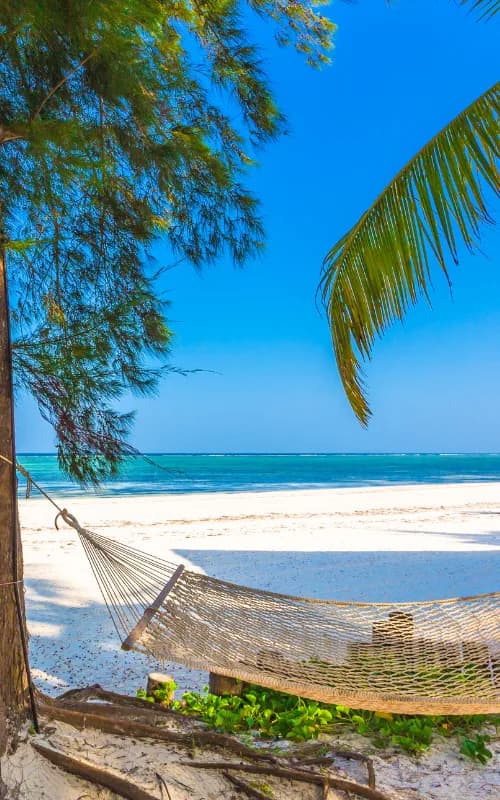
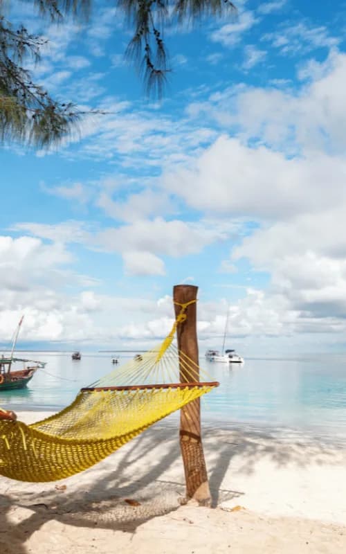
An editorial bearing, with no percentage and no rating: our criteria are written down, and every “good to know” links to its source.
Hover or tap a month: its reading and its source appear. Bars measure rain, the figure is the capital’s mean maximum.
Possible
Short rains: light showers in the late afternoon.
Source: Rough Guides
Entry, health, safety, money and facts: dated official extracts, never paraphrased.
Visa, passport, customs
GOV.UK advice, written for British passport holders. French travellers: see France Diplomatie (https://www.diplomatie.gouv.fr/fr/information-par-pays/tanzanie/conseils-aux-voyageurs-entree-sejour).
Vaccines, malaria, water
This is not medical advice: talk to your doctor or an international vaccination centre before you travel.
Per the ministries
Viafro gives no safety rating: here are the zones and advice published by the French ministry (in French) and the official extracts, with their dates.
Vigilance zones published by France Diplomatie (in French) · page updated on 21 Oct 2026 · see the official map
Bande frontalière avec le Mozambique et région de Mtwara
Compte tenu du risque d’attaques terroristes et du risque d’enlèvements, la zone frontalière avec le Mozambique et la région de Mtwara sont formellement déconseillées.
Régions occidentales frontalières avec le Burundi
La présence potentielle de groupes armés ou de trafiquants dans les régions frontalières avec le Burundi peut engendrer des situations d’insécurité dans la région de Kagera, et la région de Kigoma.
Le reste du pays est en vigilance renforcée.
Au nord (régions d’Arusha et du Kilimandjaro), il est conseillé de suivre scrupuleusement les consignes données par les opérateurs touristiques en matière de circulation, de criminalité, de sécurité dans les parcs…
What the country’s law provides
Photography, alcohol, drugs, relationships: the rules published by the ministries, quoted as they stand, without comment.
Currency
Tanzanian shillingViafro publishes no price or budget range without a source: amounts will come from our own expenses recorded on the ground, dated and itemised.
Entry, health, money, transport and safety, laid out for print, with their sources and verification date.
Express card
Structured data from Wikidata and the CIA World Factbook, re-checked at every site update.
Direct flights from Paris are to be checked on the airport’s or airline’s website.
On the road
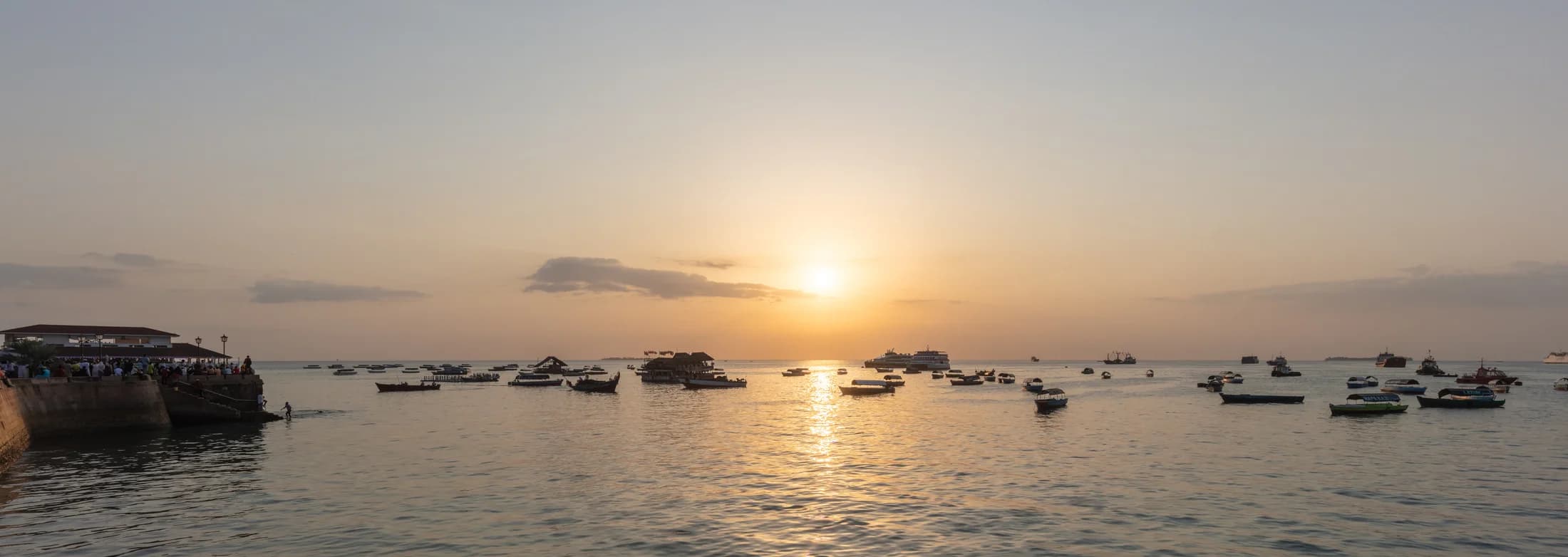
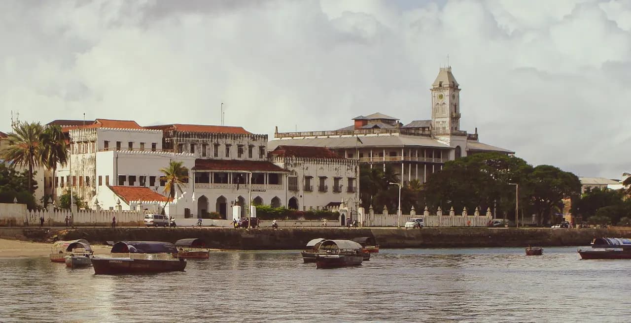
Stone Town preserves an urban landscape shaped by Swahili coastal trade. Its buildings reflect long exchanges among African, Arab, Indian and European cultures. The waterfront, shown here, offers one entry into that layered city history.
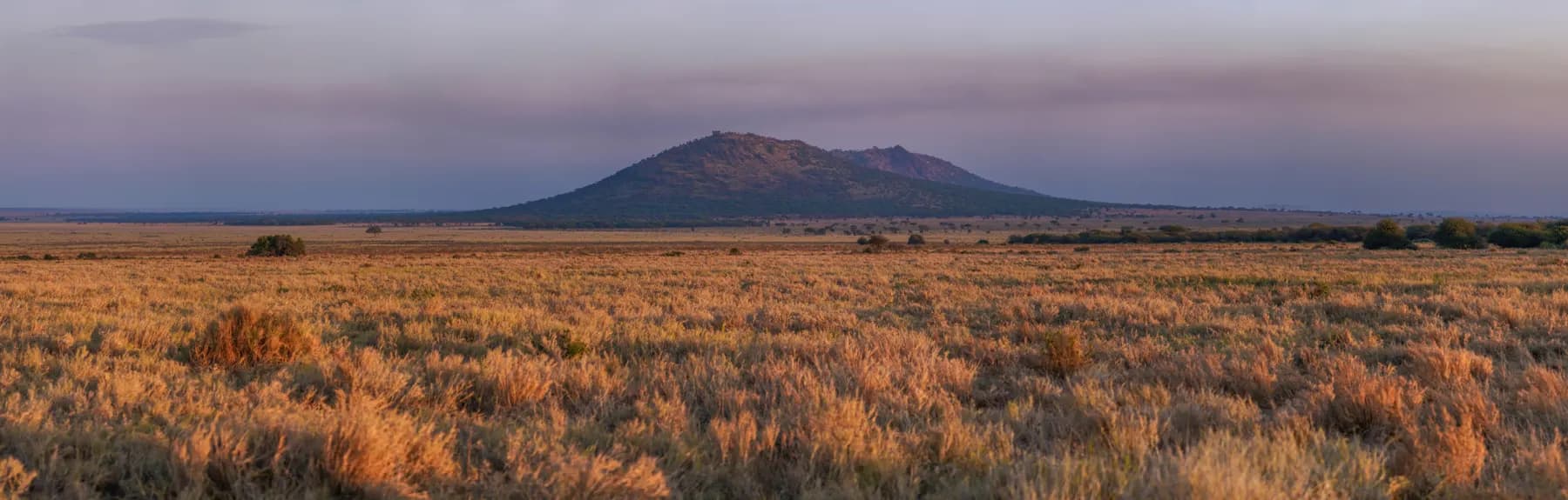
Open the destinationThe Serengeti National Park is a large national park in northern Tanzania that stretches over 14,763 km2 (5,700 sq mi).
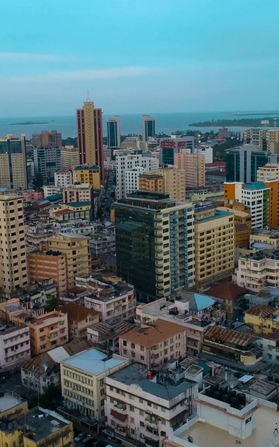
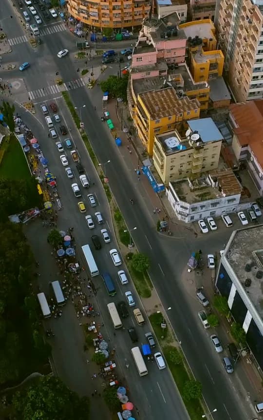
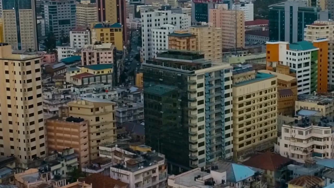
Dar es Salaam (English:, Swahili: [ɗɑr‿ɛs‿sɑˈlɑːm]; from Arabic: دَار السَّلَام, romanised: Dār as-Salām, lit.
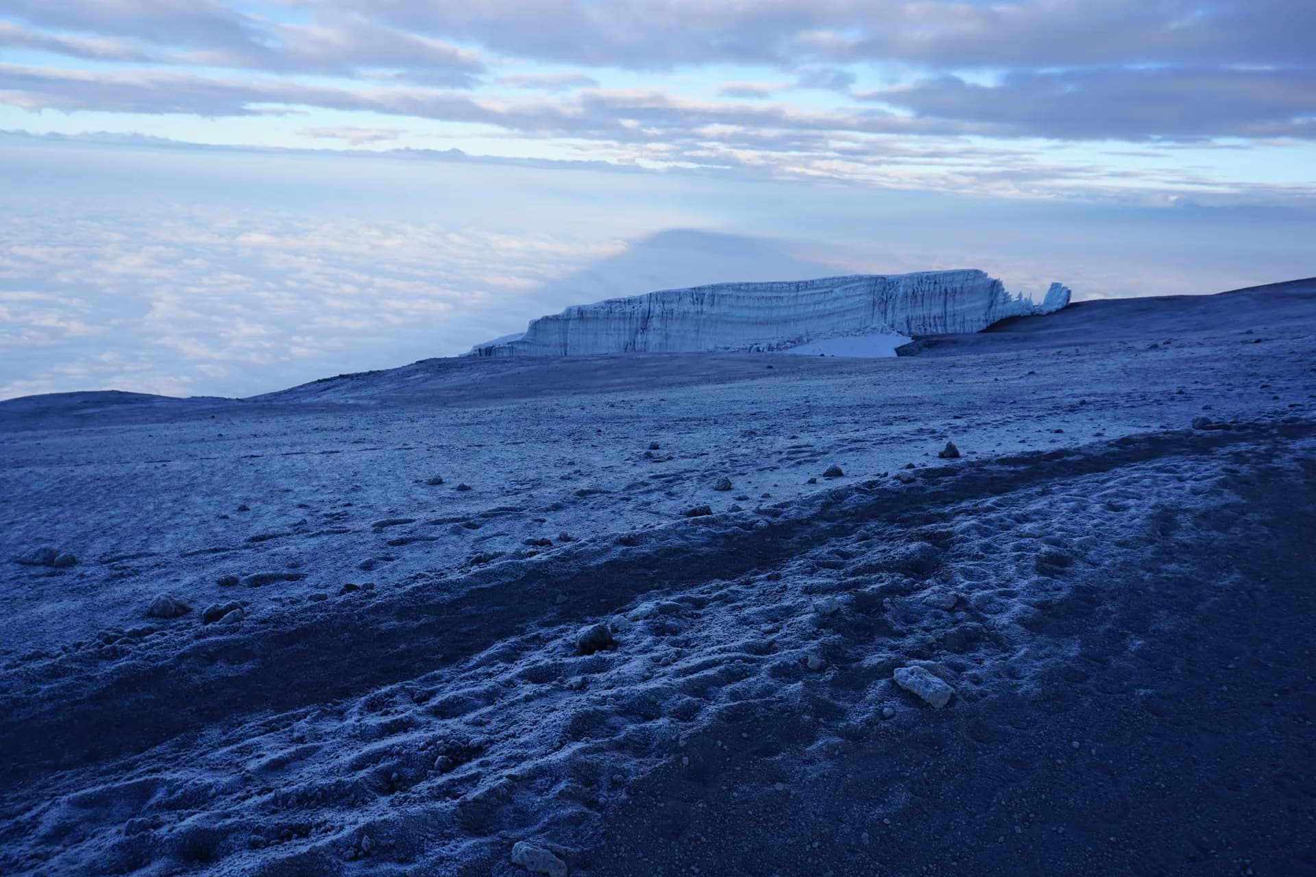
Mount Kilimanjaro () is a large dormant stratovolcano in Tanzania.
Arusha is a city in Tanzania.
Starting point, season, tips and sources: each sheet says only what its sources say.
In northern Tanzania, Serengeti National Park stretches over 14,763 km².
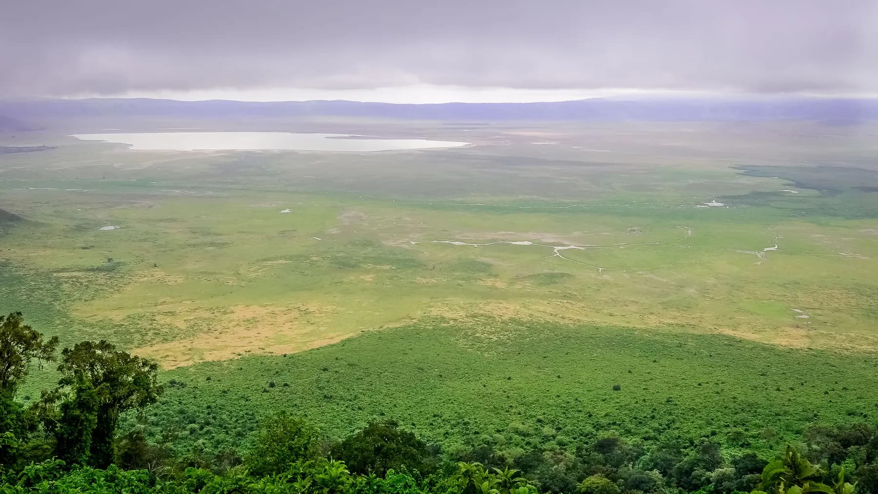
Some 180 km west of Arusha, Ngorongoro is the world’s largest inactive, intact and unfilled volcanic caldera.
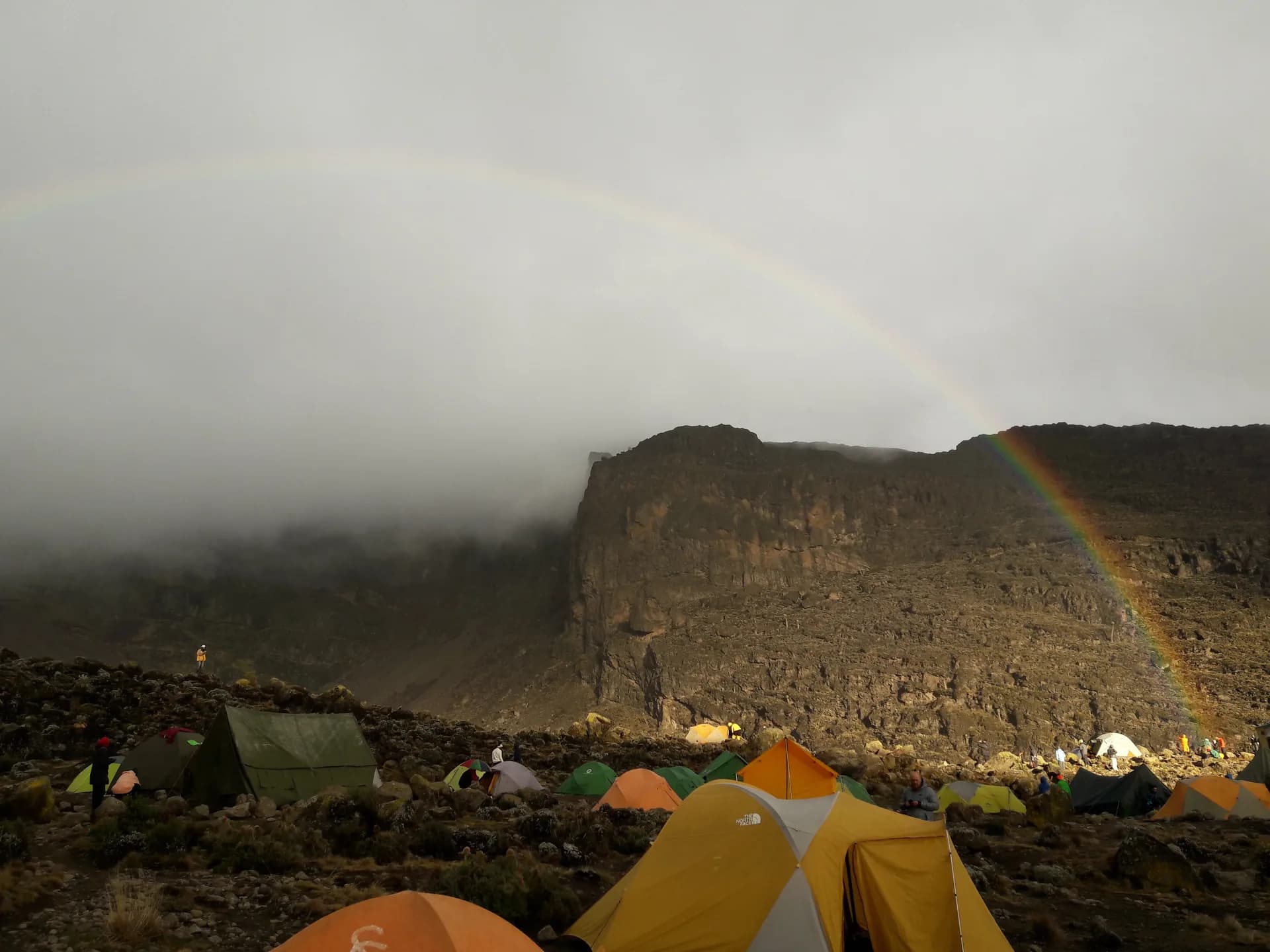
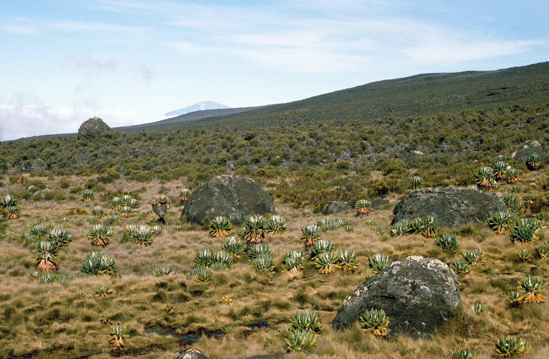
At 5,895 m, Kilimanjaro is the highest mountain in Africa and the highest free-standing mountain in the world.
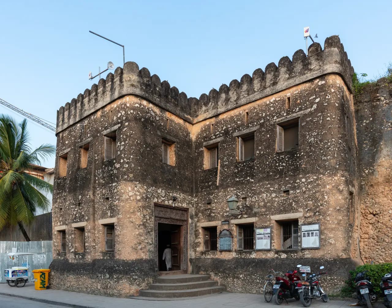
Zanzibar’s old town is a maze of narrow alleys lined with houses, shops, bazaars and mosques, famed for their carved wooden doors.
At the island’s northern tip, about 56 km from Stone Town, Nungwi was a fishing and dhow-building village.
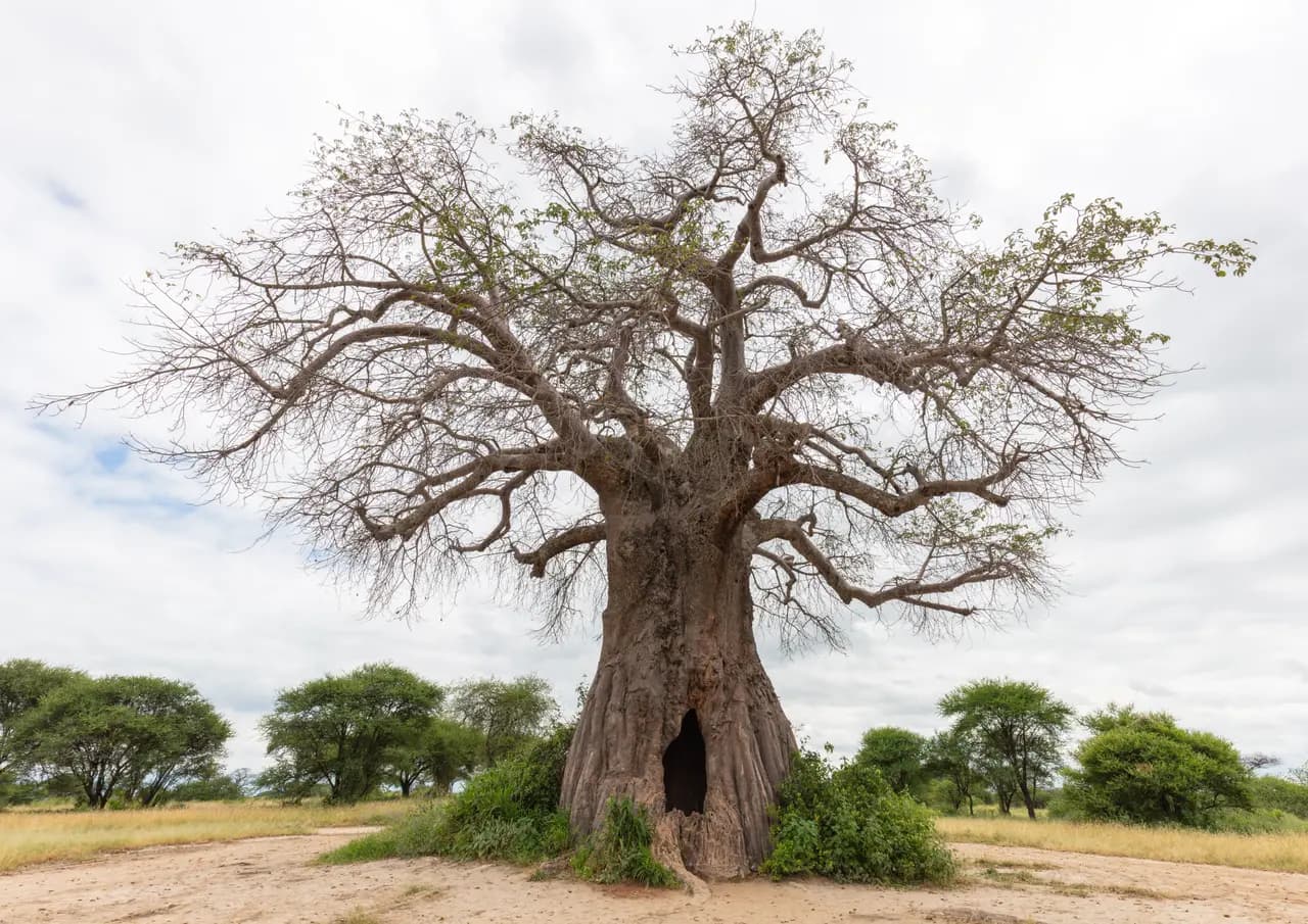
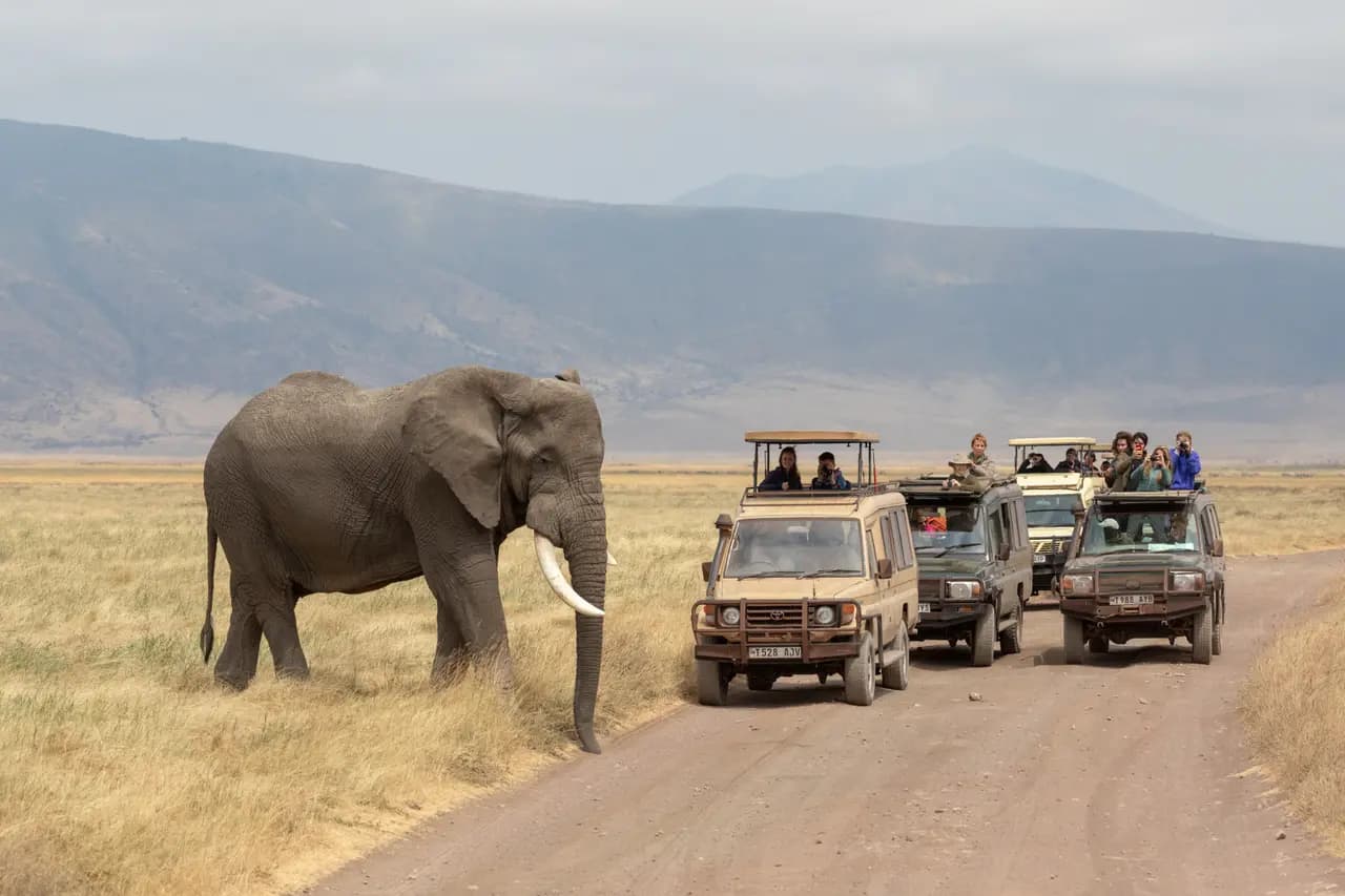
Tarangire National Park, 2,850 km², is famous for its high density of elephants and baobab trees.
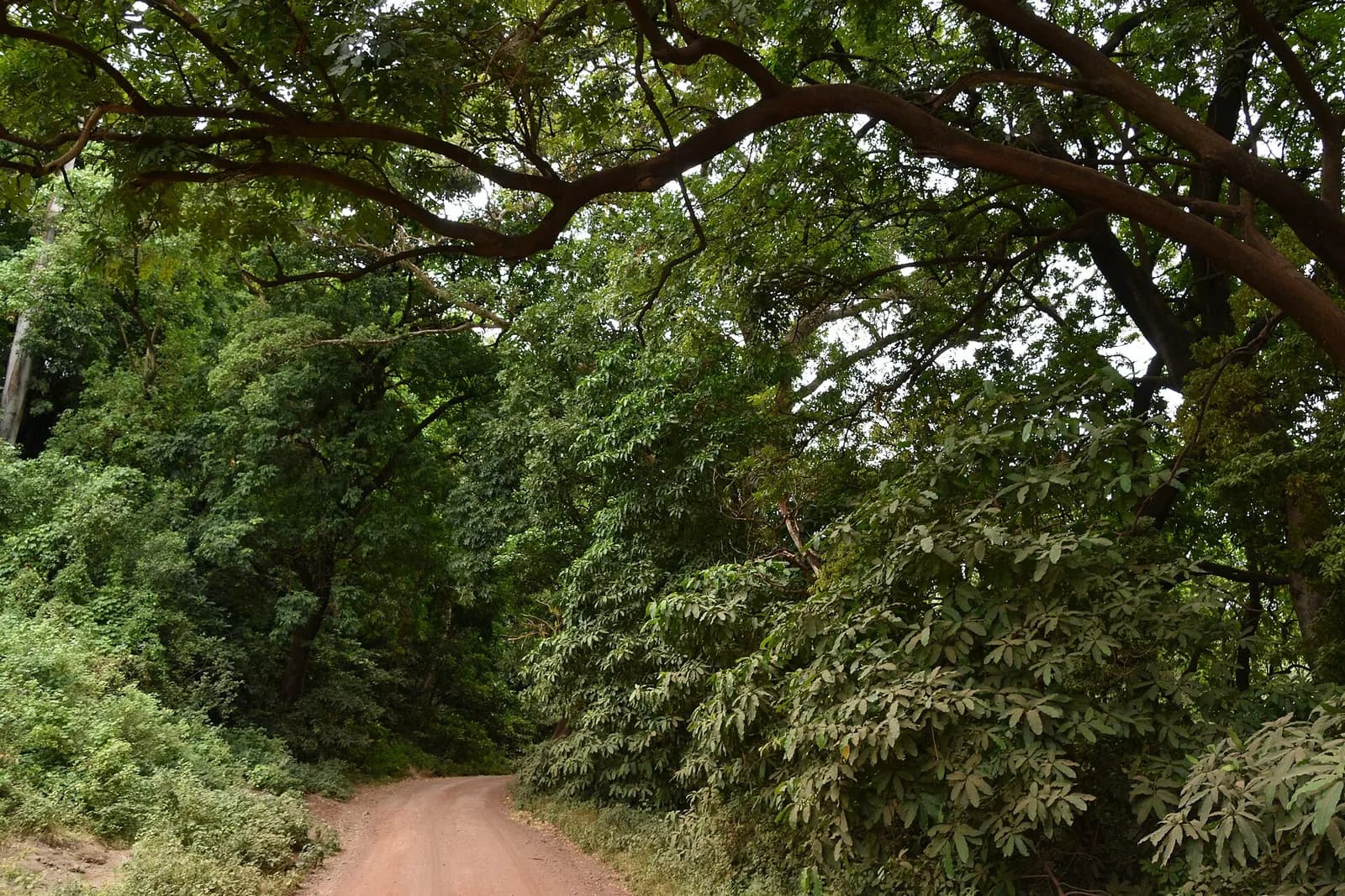
Between Lake Manyara and the Rift Valley escarpment, this 325 km² park is famous for lions that rest in the branches of acacia trees.
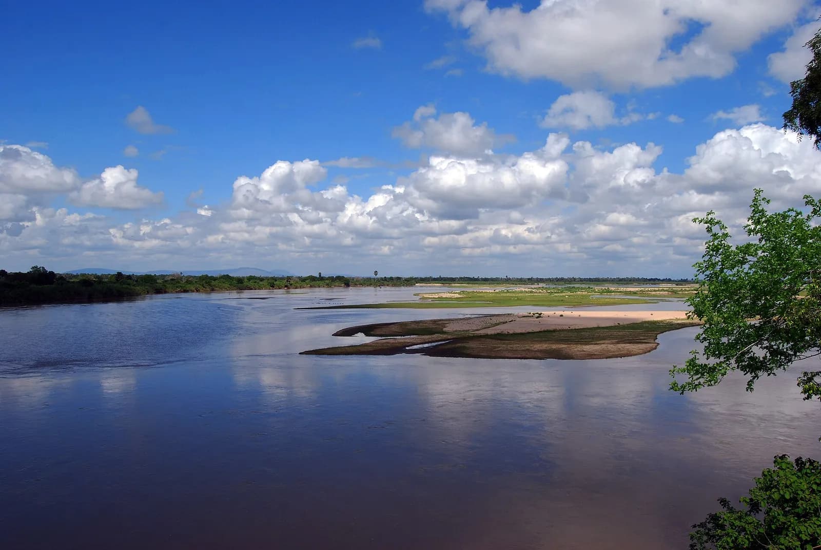
Formerly the northern part of the Selous Game Reserve, Nyerere is, at 30,893 km², Tanzania’s largest national park.
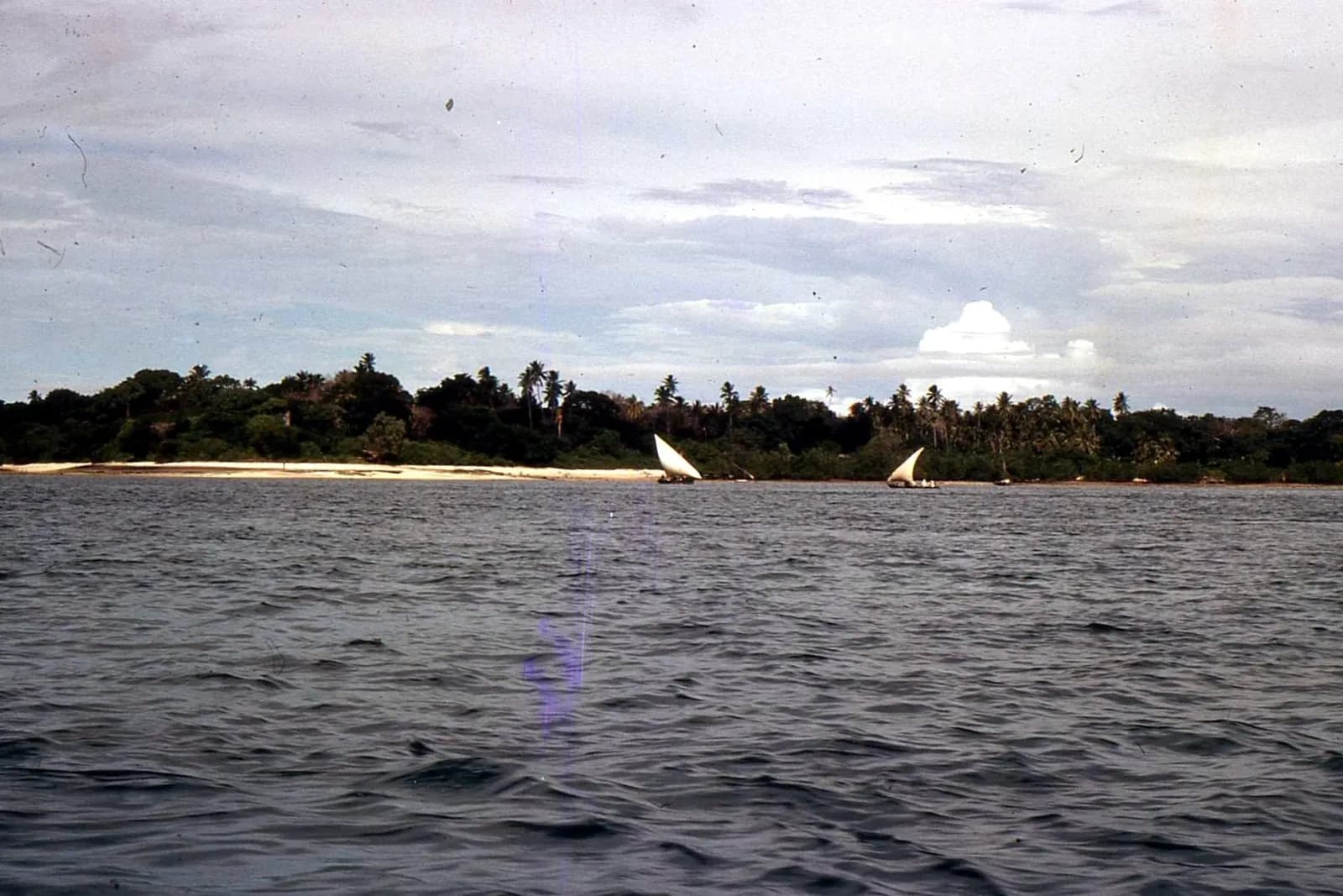
Opposite the Rufiji delta, Mafia Island covers 394 km² and became home in 1995 to Tanzania’s first marine park.
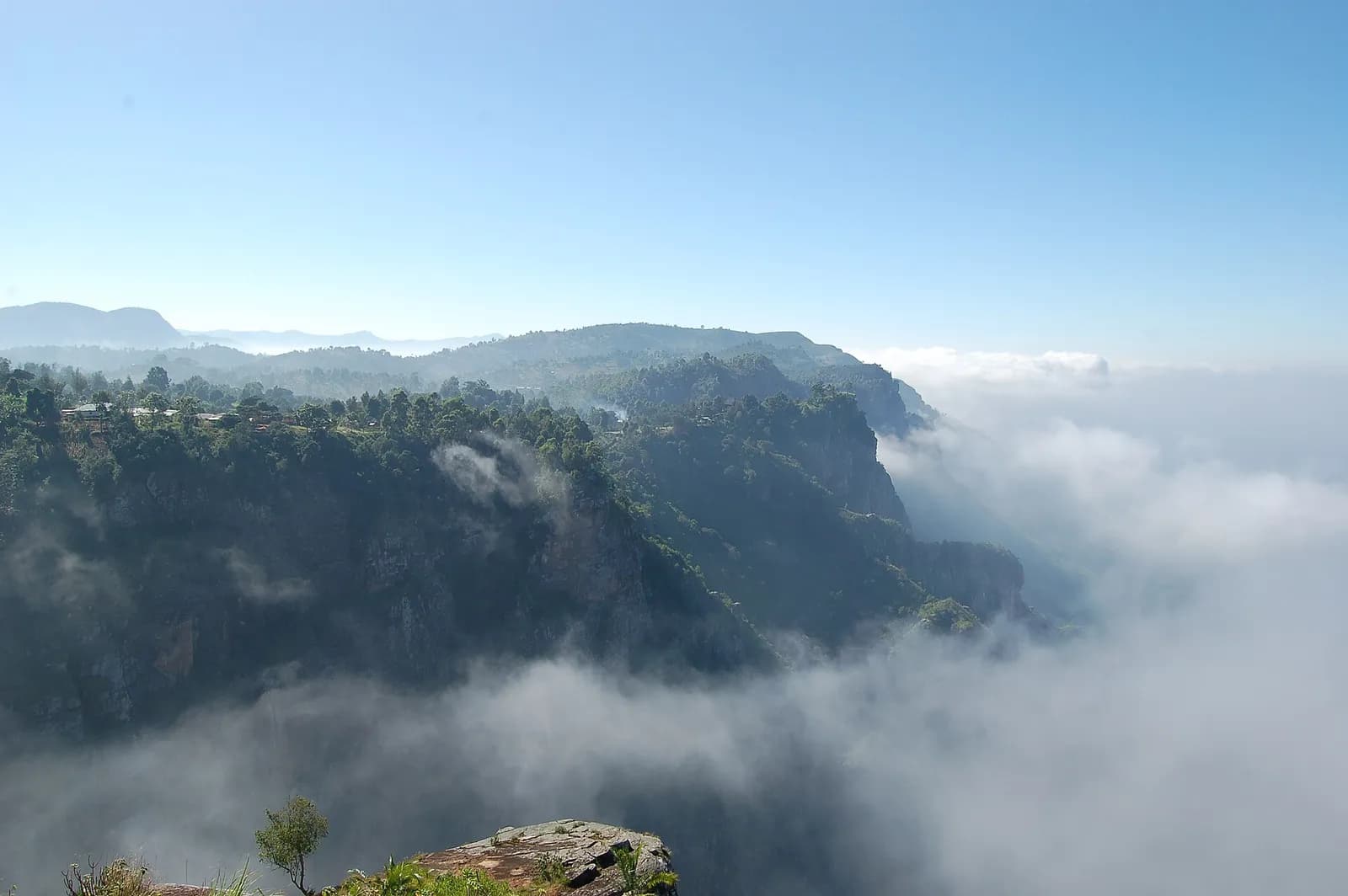
The Usambara Mountains are the easternmost ranges of the Eastern Arc, about 90 km long.
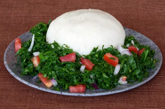
Ugali, also known as posho, nsima, papa, pap, bogobe, sadza, isitshwala, akume, amawe, ewokple, akple, and other names, is a type of corn meal made from maize or corn or mahindi flour in several African countries: Kenya, Uganda, South Sudan, Tanzania, Zimbabwe
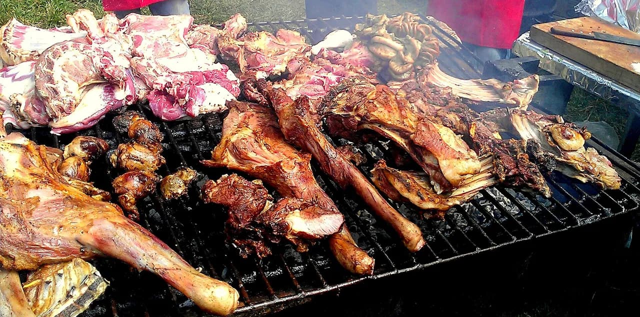
Nyama Choma is a specialty of grilled or barbecued goat meat or cattle meat. Roasted meat is very popular in Tanzania and Kenya, where it is considered the national dish. The expression nyama choma means "barbecue meat" in Kiswahili. Nyama choma gatherings are
Mtori is a popular Tanzanian stew made of bananas and meat along with other ingredients.
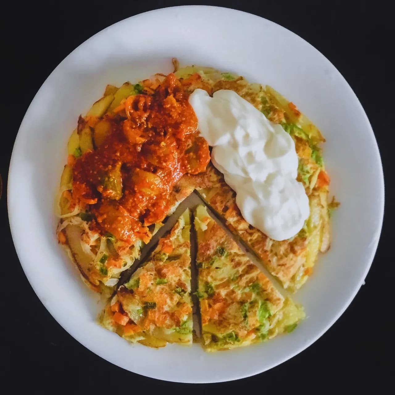
Chipsi mayai, also known as zege, is the most popular street food found all over Tanzania. The dish was invented in the streets of Dar es Salaam. In its most basic form, chipsi mayai is a simple potato-egg omelette. It is available in all regions of Tanzania,
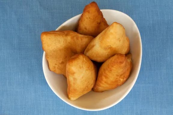
Mandazi is a form of fried bread that originated on the Swahili coast of East Africa. It is also known as bofrot or puff-puff in Western African countries such as Ghana and Nigeria. It is one of the principal dishes in the cuisine of the Swahili people who inh
Union Day (Tanganyika and Zanzibar), 26 April (1964) ; independence: 26 April 1964 (Tanganyika united with Zanzibar to form the United Republic of Tanganyika and Zanzibar); 29 October 1964 (renamed United Republic of Tanzania); notable earlier dates: 9 December 1961 (Tanganyika became independent from UK-administered UN trusteeship); 10 December 1963 (Zanzibar became independent from UK).
Fixed dates and moveable events, each with its source; moveable dates change every year and are to be checked on an official calendar.
The country’s highest point, Mount Kibo, reaches 5,895 m.
70,545,865 inhabitants in 2025 on 947,303 km², about 74 per km².
Independence on 26 April 1964 (Tanganyika united with Zanzibar to form the United Republic of Tanganyika and Zanzibar).
Real photographs: free images under a verified licence and Viafro images. Never a generated image. Credits in the footer.
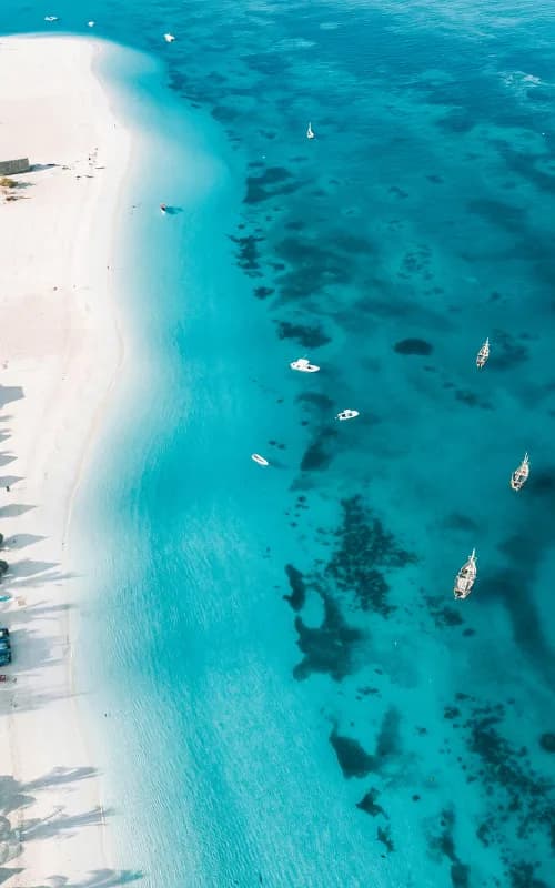
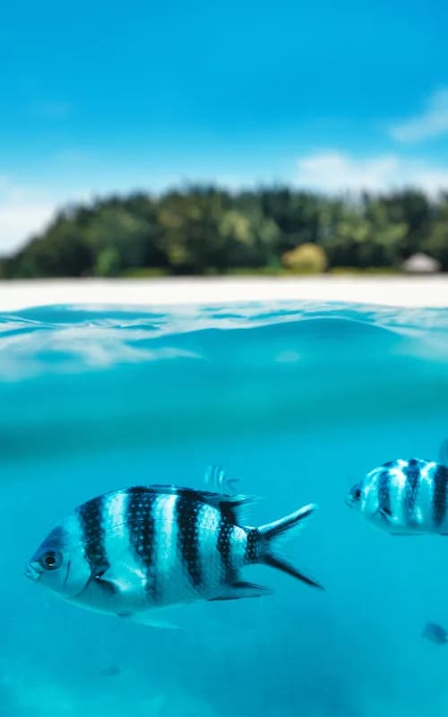
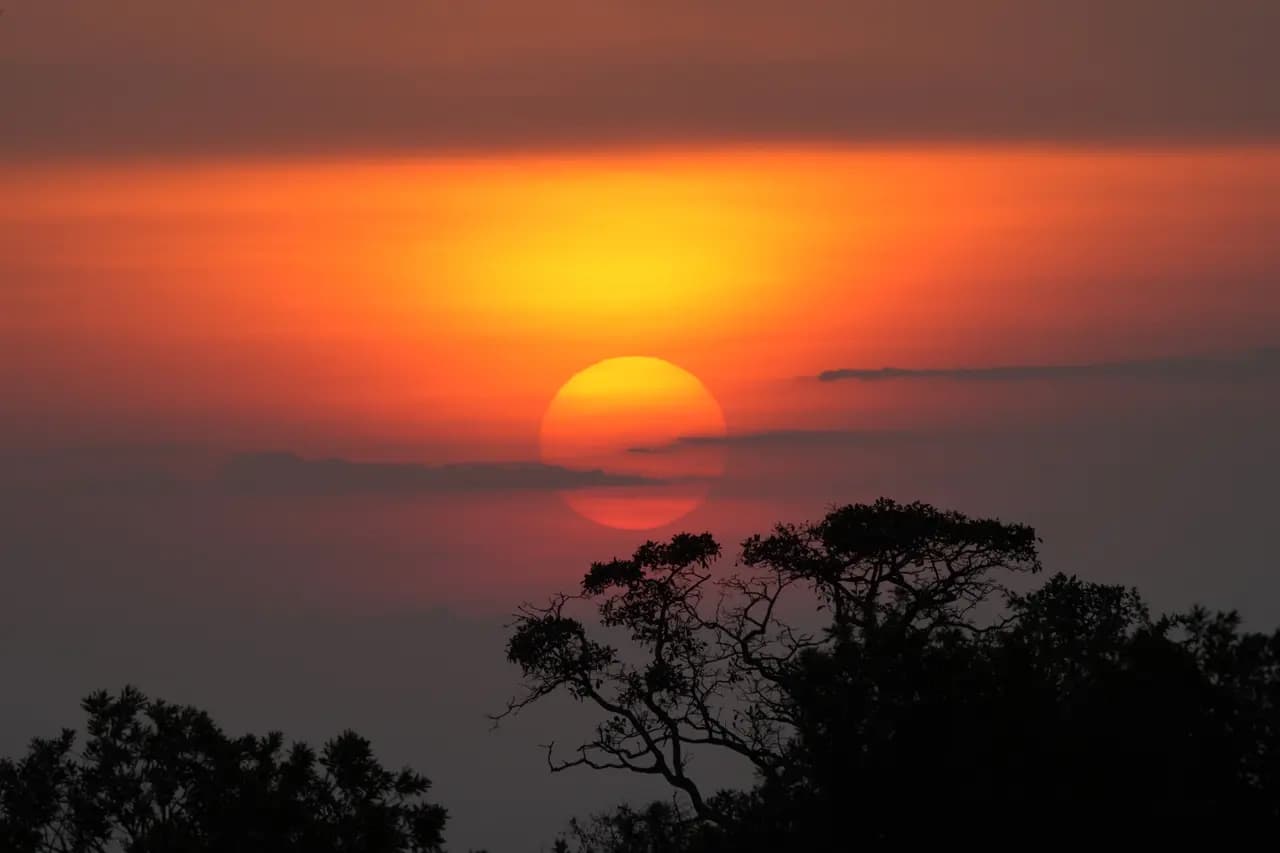
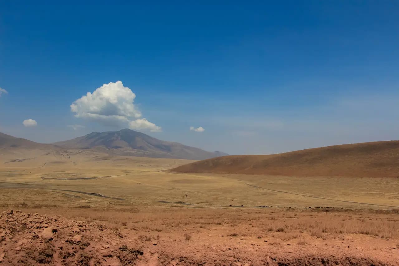
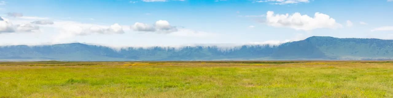
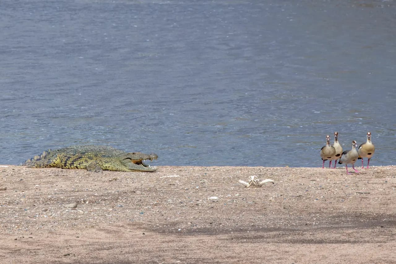
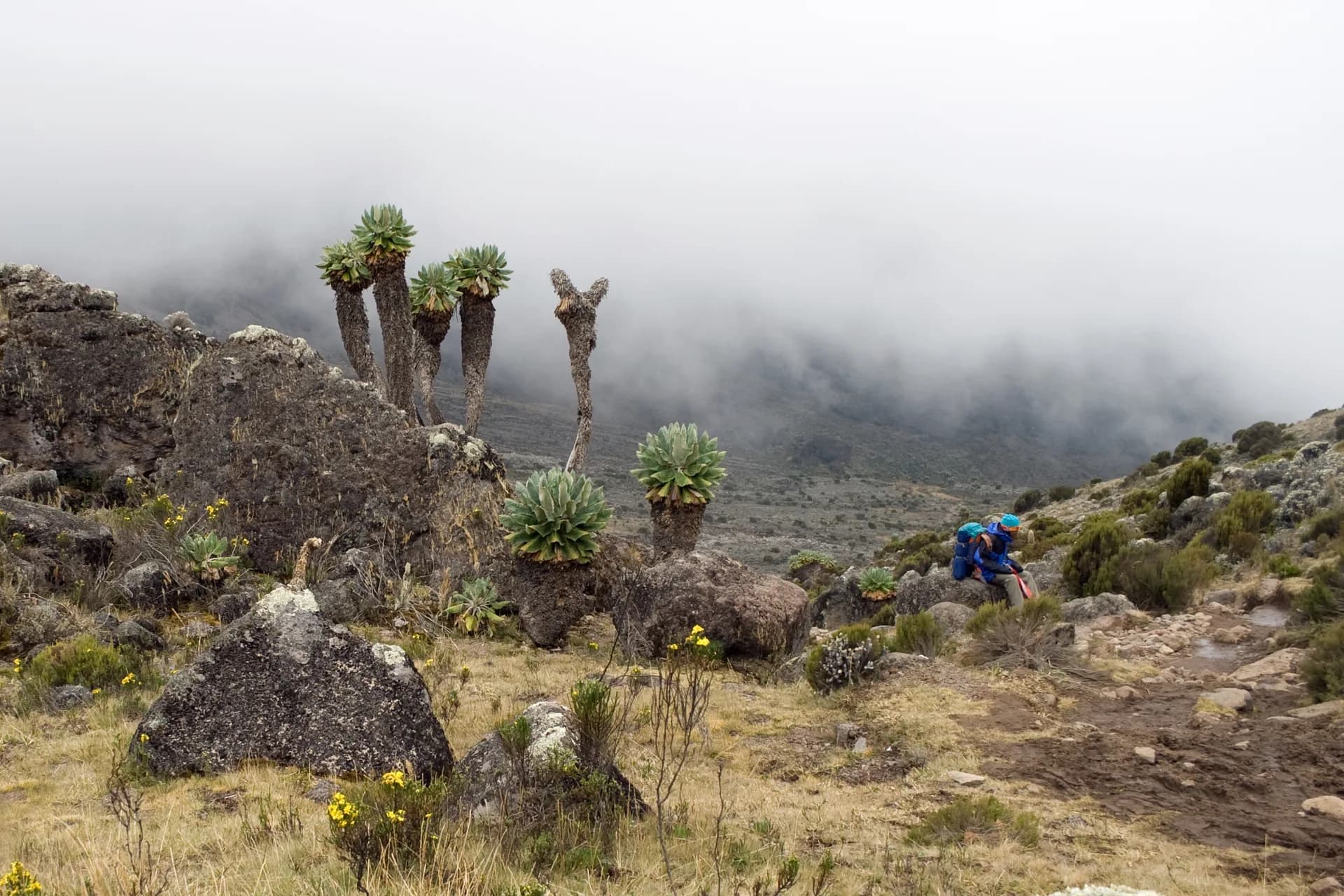
Share your trip with #viafro: the best images will join this gallery, with your credit.
Sourced data (World Bank). No investment advice.
World Bank data (World Development Indicators), consulted on 28 Oct 2026. Tourist arrivals are the latest year published.
Book your stay and take the right guidebook along: partner links, labelled as such, to current prices.
Affiliate link: Viafro earns a commission at no extra cost to you.The Viafro letter
A short letter, when there is something to say. One-click unsubscribe.
Information checked on 28 Oct 2026. Check the official source before you travel. Viafro gives no safety rating and publishes no price without a source.