The checklist as a PDF
Entry, health, money, transport and safety, laid out for print, with their sources and verification date.
West Africa
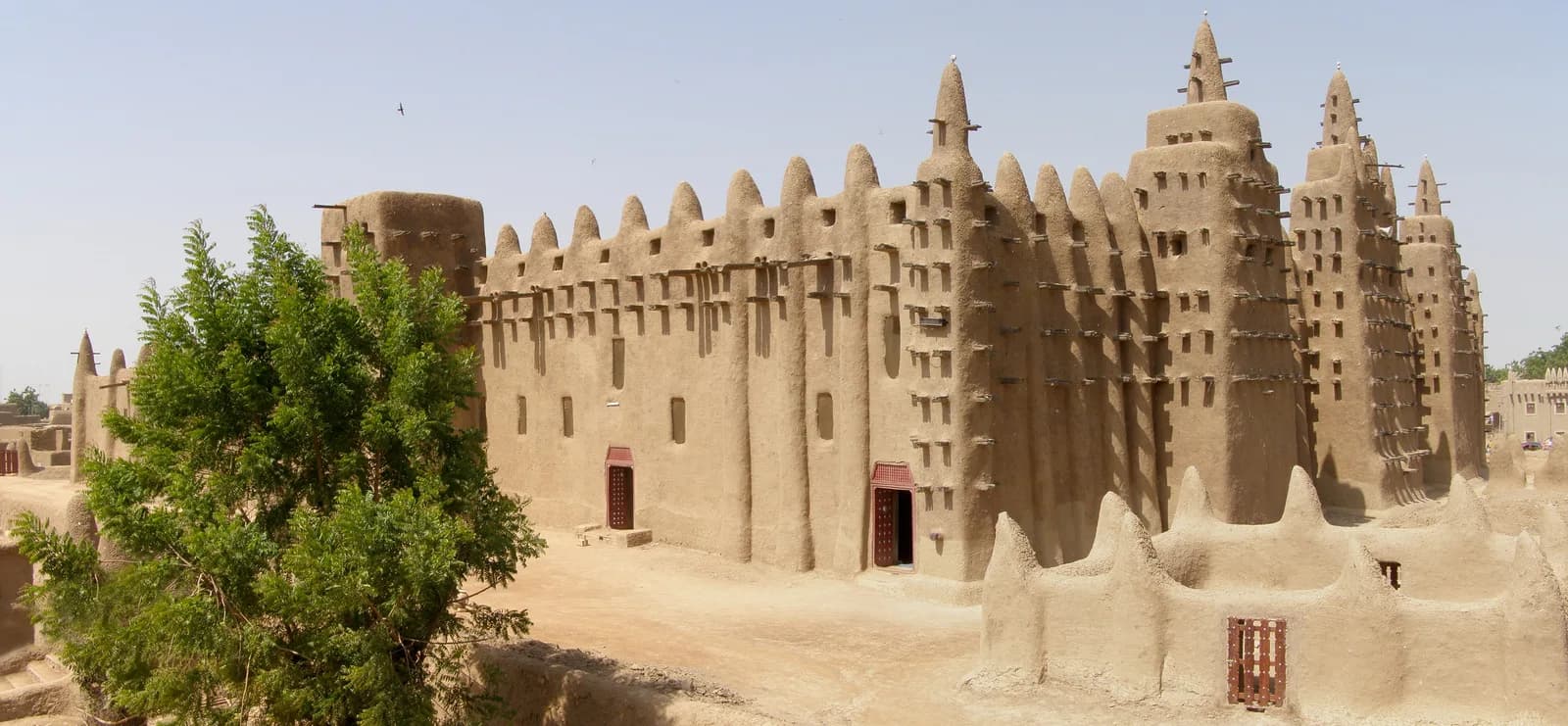
Rivers, desert, forest, waterfalls, nature reserves and culture. Earthen cities, the Bandiagara landscape and the heritage of Timbuktu.
An editorial bearing, with no percentage and no rating: our criteria are written down, and every “good to know” links to its source.
Hover or tap a month: its reading and its source appear. Bars measure rain, the figure is the capital’s mean maximum.
Possible
Bamako: mean maximum 35 °C, 2 mm of rain · hot.
Source: Wikipedia (climate normals)
Entry, health, safety, money and facts: dated official extracts, never paraphrased.
Some regions are formally advised against by the authorities. Check the official advice before making any plan. Official travel advice
Visa, passport, customs
GOV.UK advice, written for British passport holders. French travellers: see France Diplomatie (https://www.diplomatie.gouv.fr/fr/information-par-pays/mali/conseils-aux-voyageurs-entree-sejour).
Vaccines, malaria, water
This is not medical advice: talk to your doctor or an international vaccination centre before you travel.
Per the ministries
Viafro gives no safety rating: here are the zones and advice published by the French ministry (in French) and the official extracts, with their dates.
Vigilance zones published by France Diplomatie (in French) · page updated on 15 Sept 2026 · see the official map
L’ensemble du territoire est classé en zone rouge.
Dans le contexte actuel de fortes tensions régionales et compte tenu de la présence de groupes terroristes et des risques d’attentat et d’enlèvement, tout déplacement au Mali est formellement déconseillé, y compris pour…
What the country’s law provides
Photography, alcohol, drugs, relationships: the rules published by the ministries, quoted as they stand, without comment.
Currency
West African CFA francViafro publishes no price or budget range without a source: amounts will come from our own expenses recorded on the ground, dated and itemised.
Entry, health, money, transport and safety, laid out for print, with their sources and verification date.
Express card
Structured data from Wikidata and the CIA World Factbook, re-checked at every site update.
Direct flights from Paris are to be checked on the airport’s or airline’s website.
On the road
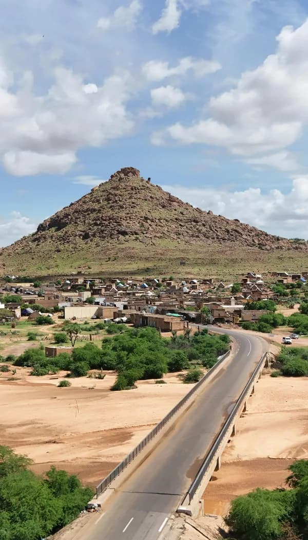
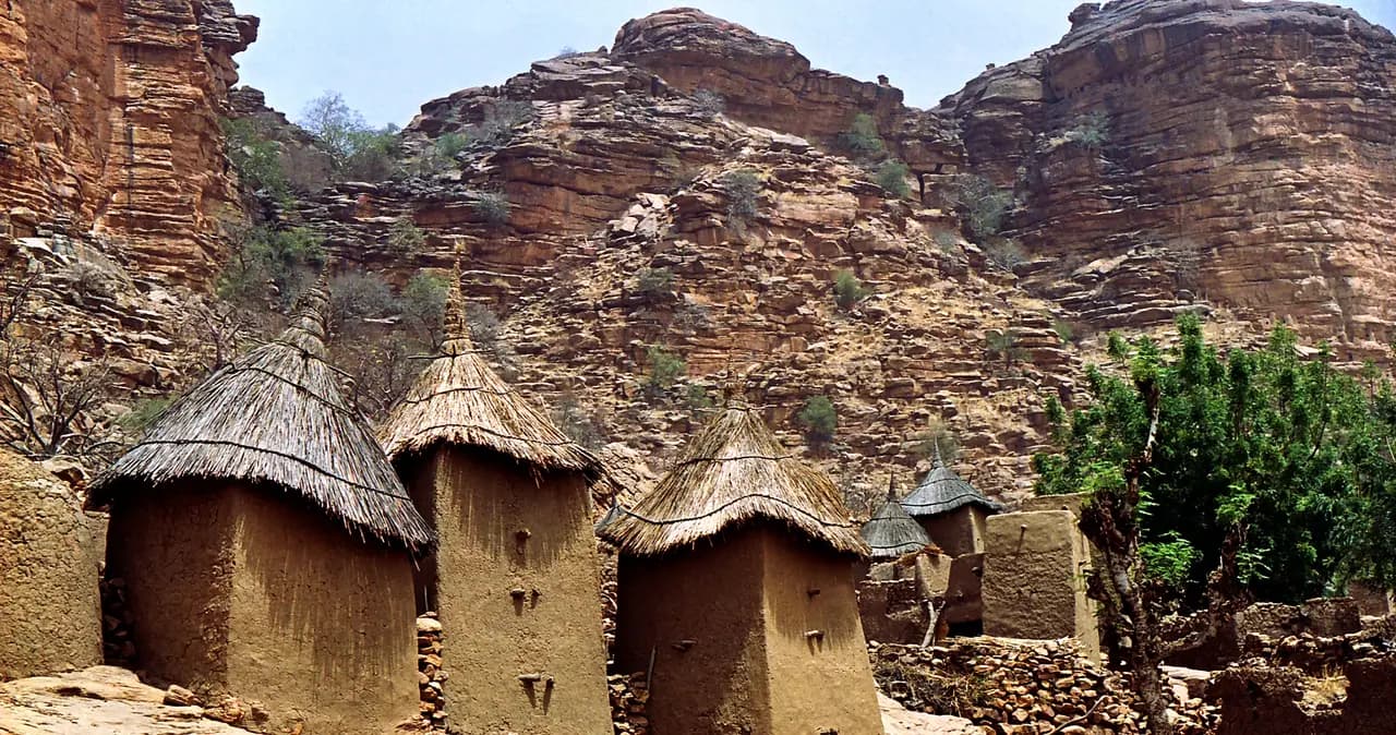
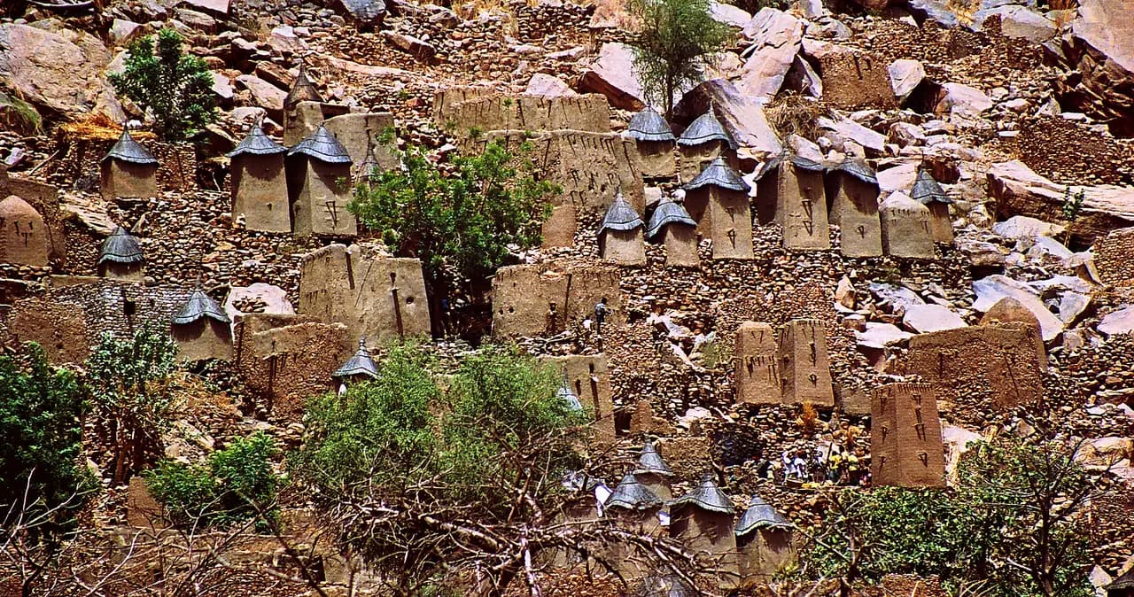
Bandiagara (French pronunciation: [bɑ̃djaɡaʁa]) is a small town and urban commune, the administrative capital of the Bandiagara Region of Mali.
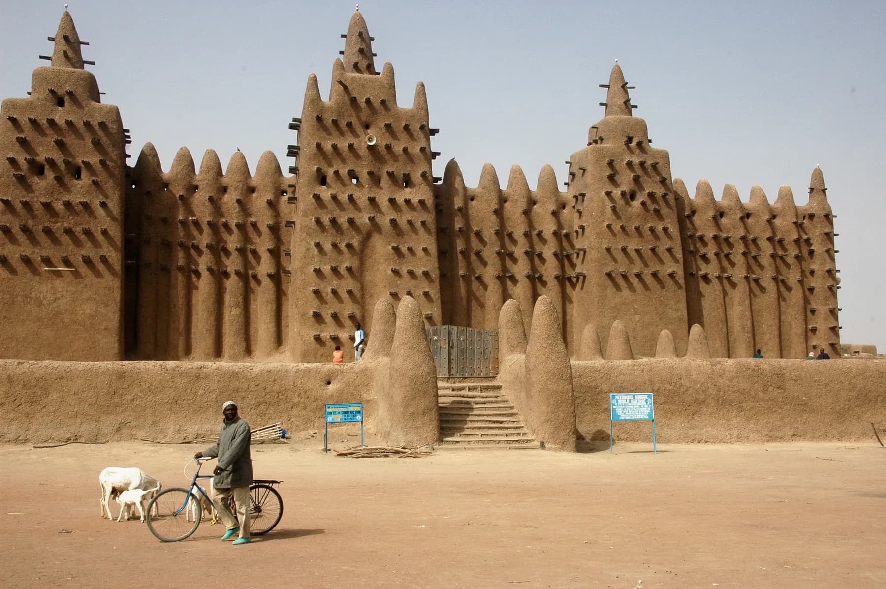
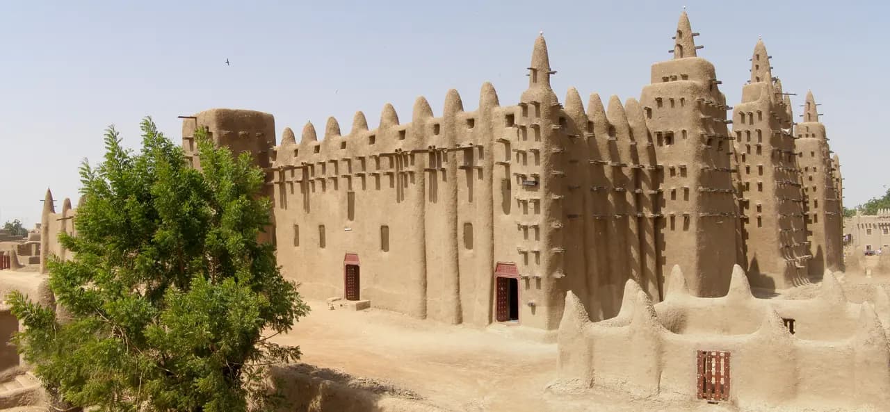
Djenné (Bambara: ߖߍ߬ߣߍ߫, romanized: Jɛ̀nɛ́; also known as Djénné, Jenné, and Jenne) is a town and urban commune in the Inland Niger Delta region of central Mali.
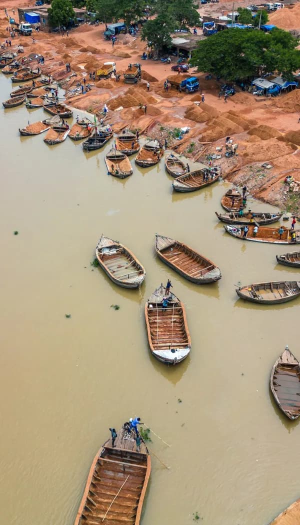
A city portrait through music, creative spaces and life beside the Niger River.
Open the destination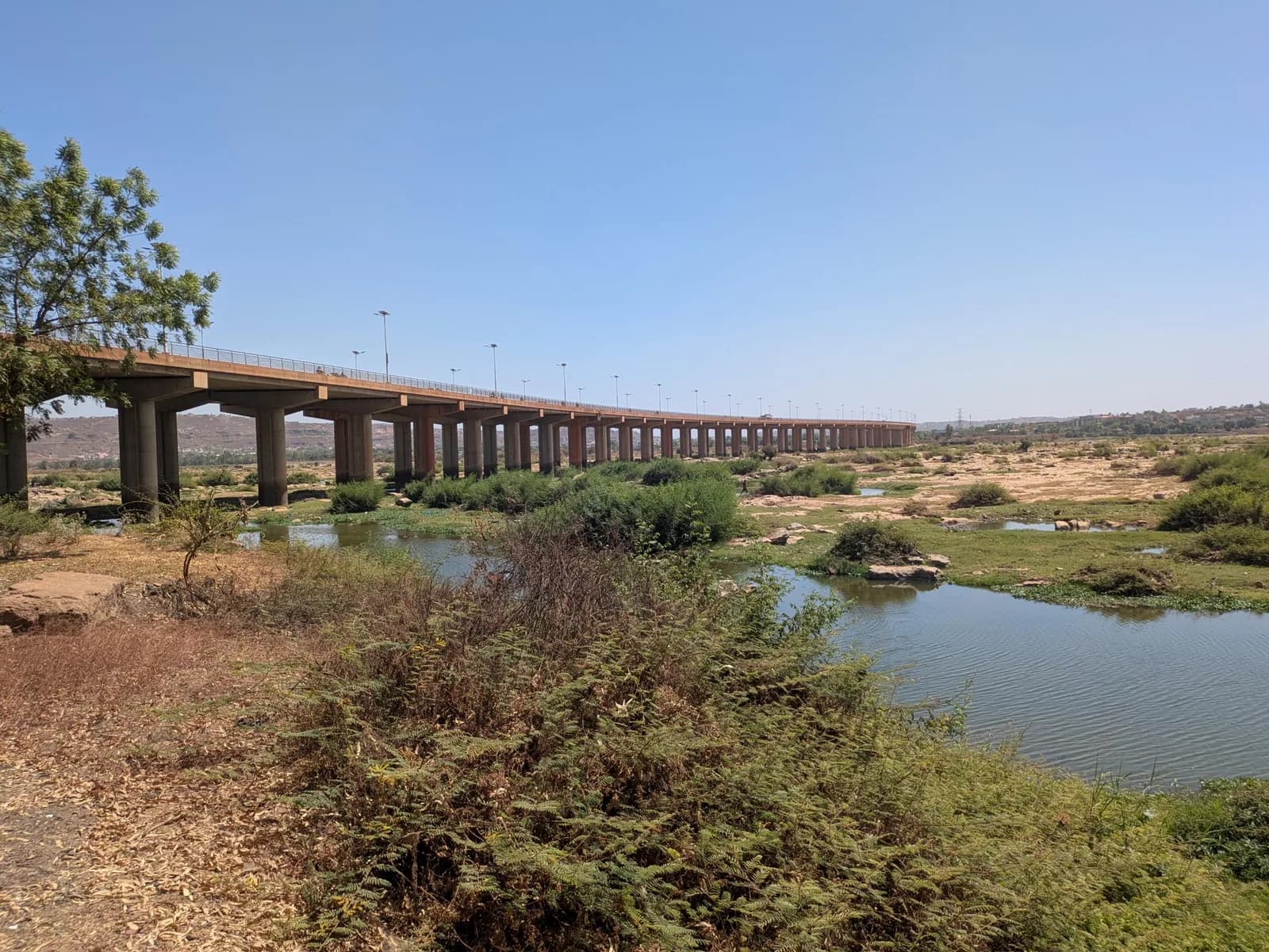
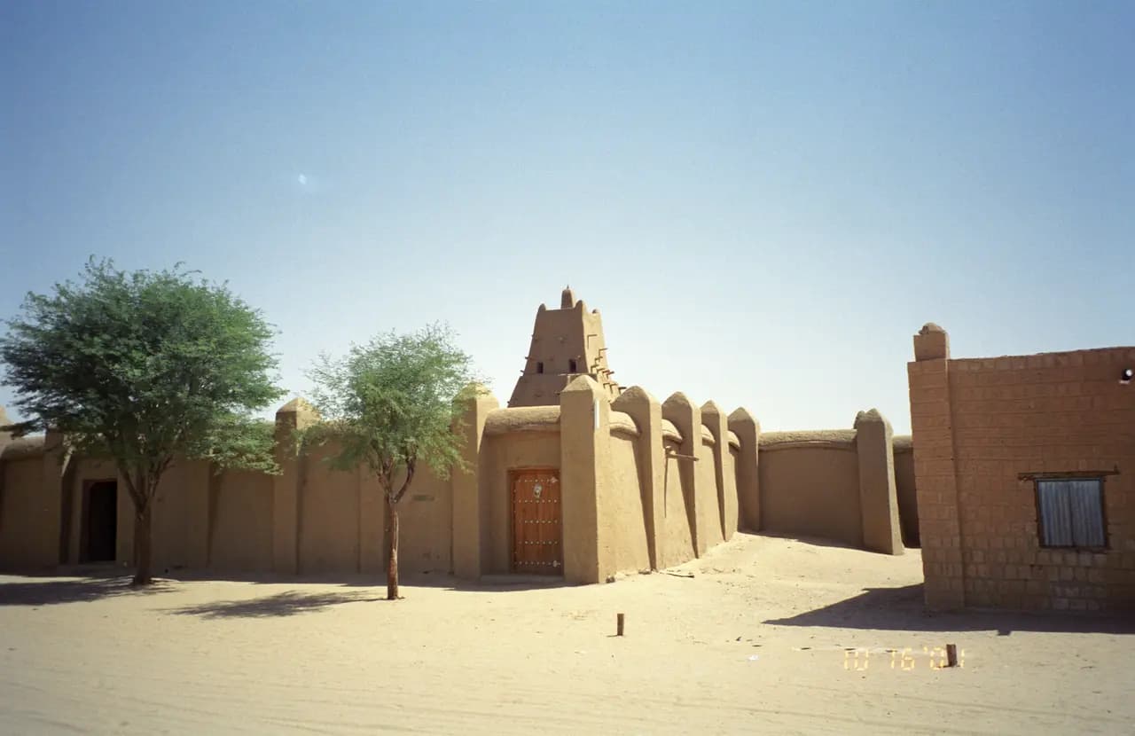
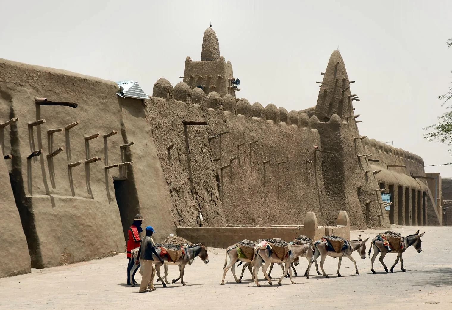
Timbuktu ( TIM-buk-TOO; French: Tombouctou; Koyra Chiini: Tunbutu; Tuareg: ⵜⵏⵀⵗⵜ, romanized: Tin Bukt) is a city in Mali, situated 20 kilometres (12 miles) north of the Niger River.
Le Djouka ou le Djougua est un plat d’origine malienne à base de fonio et d’arachides broyées. Le Djouka est un plat assez simple que l'on peut éventuellement accompagner de viande grillée notamment lors des réjouissances populaires. Au Mali, ce plat est souve (summary in French)
Fakou, also known as Fakou Foye or Fakoye, is a traditional soup of the Songhai and Tuareg people in Niger and Northern Mali. This dark green, slightly thick soup is made from jute leaves scientifically known as Corchorus olitorius, commonly referred to as Mul
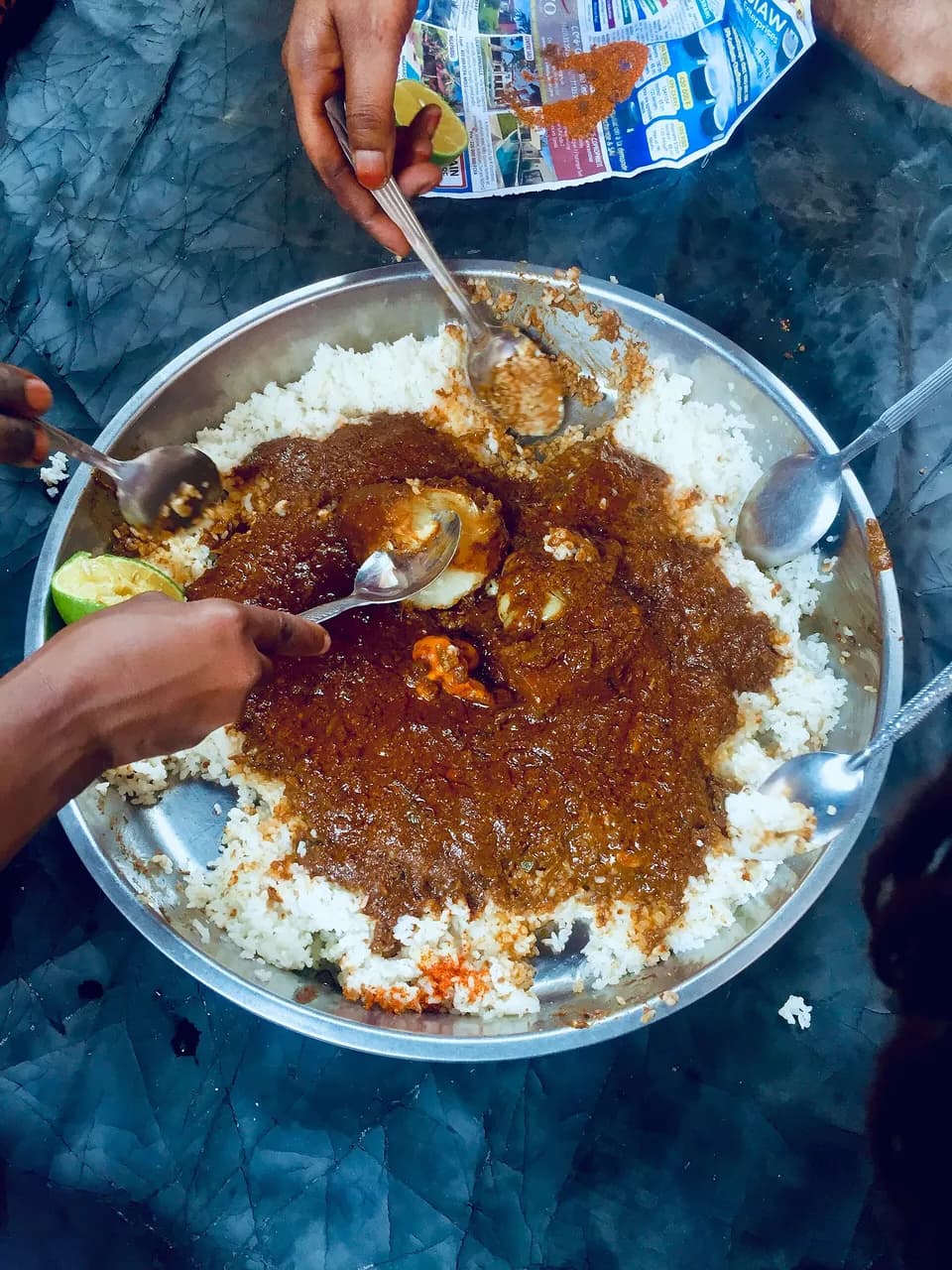
Le mafé ou maffé ou maafé est une spécialité culinaire traditionnelle de la cuisine malienne, étendue à la cuisine ouest-africaine, à base de morceaux de viande ou de poisson cuisinés dans une sauce arachide à la pâte d'arachide. (summary in French)
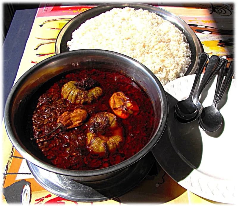
Soup kandia is a traditional West African soup widely consumed in countries such as Côte d'Ivoire, Guinea, Senegal, and Mali. It is especially popular among Mandinka, Wolof, and Dioula communities. The dish is primarily made with okra, which gives it a slimy t
Dans la gastronomie malienne, les widjila ou woujoula sont des boules de pain cuites à la vapeur dans un couscoussier. C'est un plat originaire de Tombouctou de l'ethnie Songhai et qui se consomme avec de la viande de mouton préparée dans une sauce. Au Mali, l (summary in French)
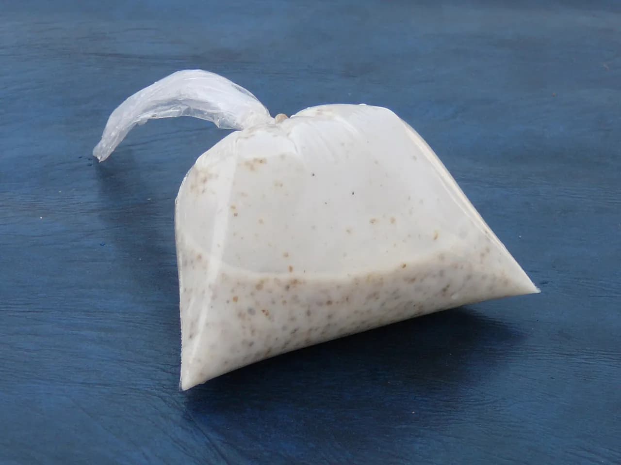
Thiakry, bodé in Fulani or dèguè in Bambara is a sweet millet couscous dish consumed in West Africa. Its first recipe dates from the era of the Fulani people in present day northern Senegal who are traditionally herdsmen, and spread throughout West Africa. The
Independence Day, 22 September (1960) ; independence: 22 September 1960 (from France).
Fixed dates and moveable events, each with its source; moveable dates change every year and are to be checked on an official calendar.
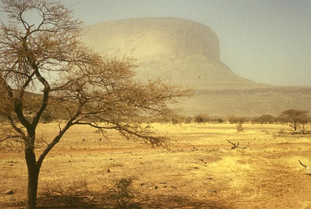
The country’s highest point, Mount Hombori, reaches 1,153 m.
25,198,821 inhabitants in 2025 on 1,240,192 km², about 20 per km².
Independence on 22 September 1960 (from France).
Real photographs: free images under a verified licence and Viafro images. Never a generated image. Credits in the footer.


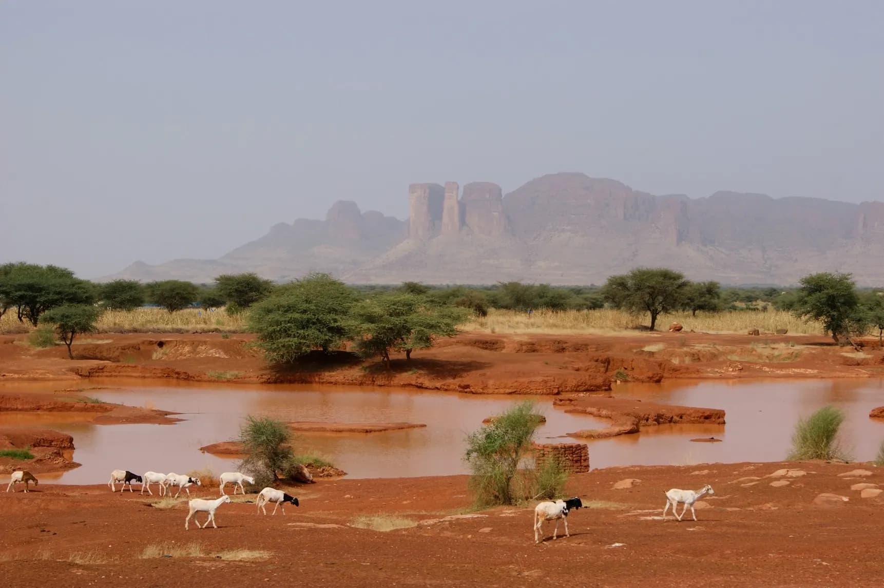
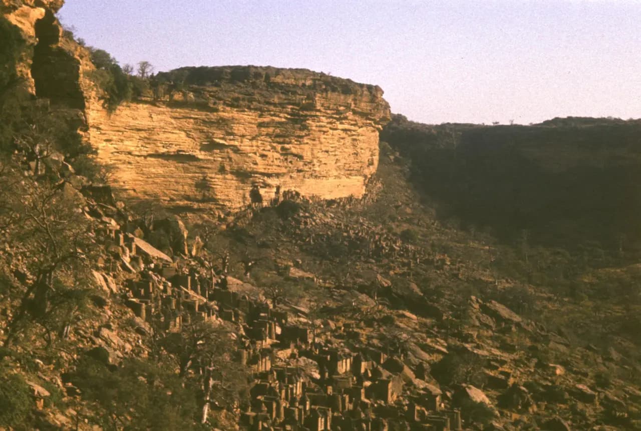
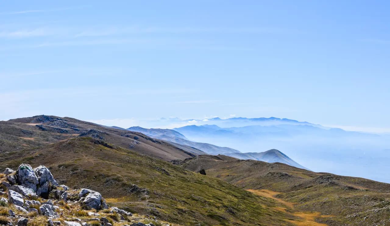
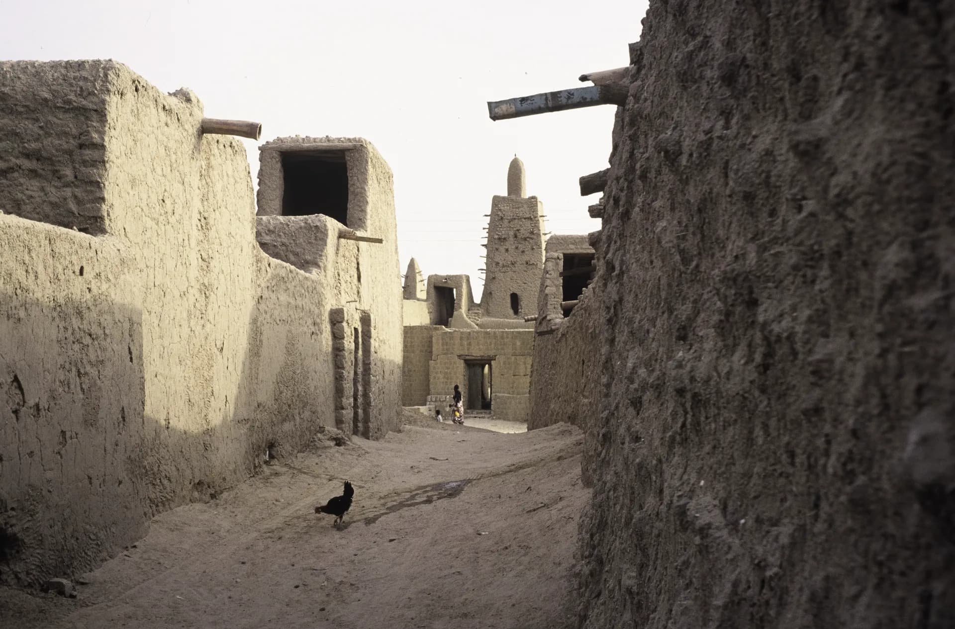
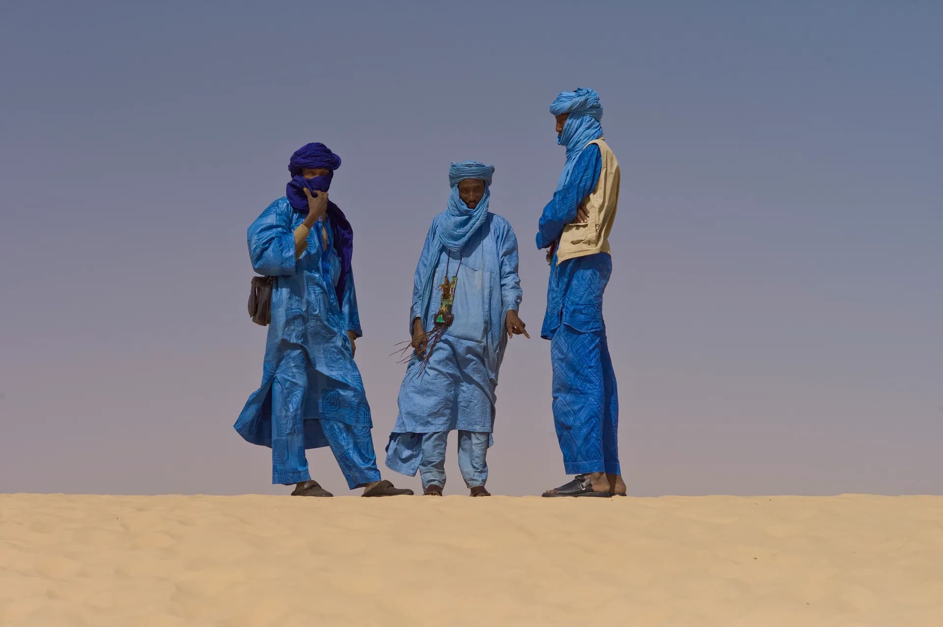
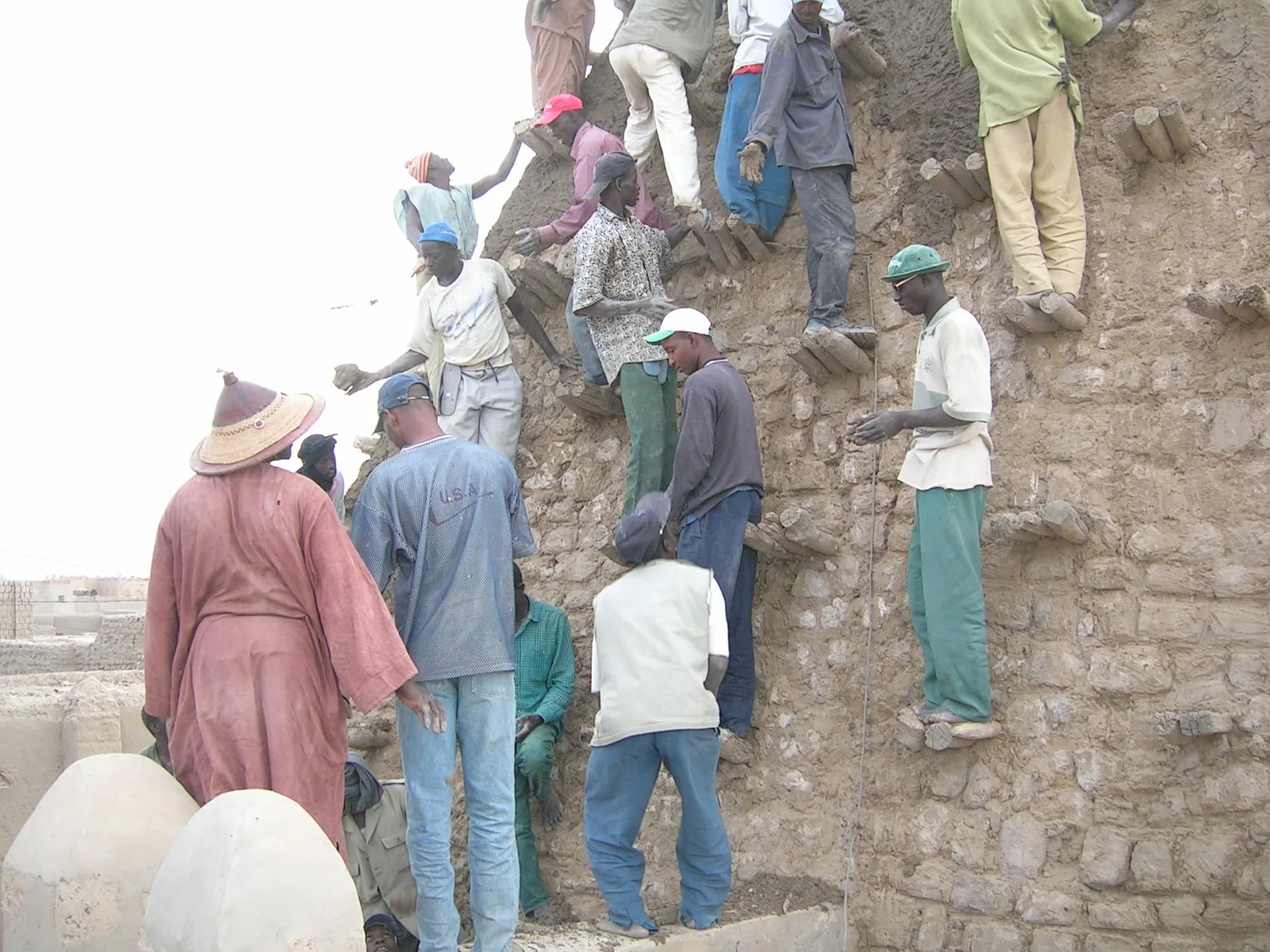
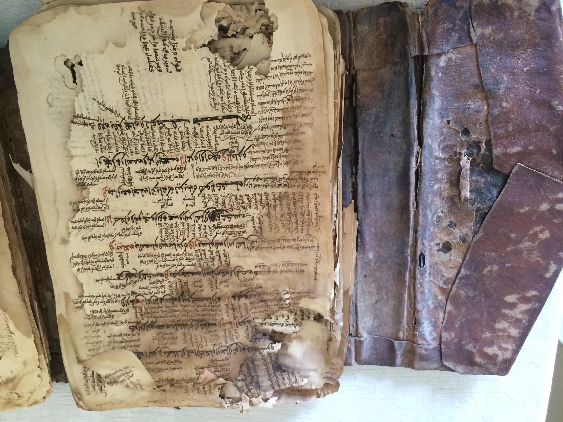
Share your trip with #viafro: the best images will join this gallery, with your credit.
Sourced data (World Bank). No investment advice.
World Bank data (World Development Indicators), consulted on 28 Oct 2026. Tourist arrivals are the latest year published.
The Viafro letter
A short letter, when there is something to say. One-click unsubscribe.
Information checked on 28 Oct 2026. Check the official source before you travel. Viafro gives no safety rating and publishes no price without a source.
Explore nearby