The checklist as a PDF
Entry, health, money, transport and safety, laid out for print, with their sources and verification date.
East Africa
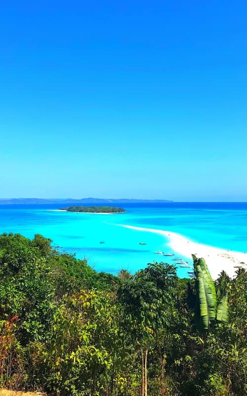
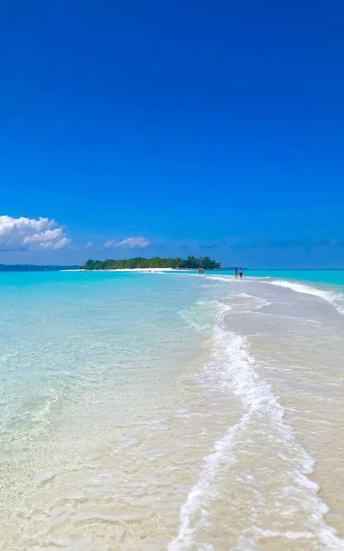
Paradise islands, endemic animals and marine parks. The royal hill of Ambohimanga and contrasting island forests.
An editorial bearing, with no percentage and no rating: our criteria are written down, and every “good to know” links to its source.
Hover or tap a month: its reading and its source appear. Bars measure rain, the figure is the capital’s mean maximum.
Ideal
Often recommended as the best month for wildlife.
Source: Rough Guides
Entry, health, safety, money and facts: dated official extracts, never paraphrased.
Visa, passport, customs
GOV.UK advice, written for British passport holders. French travellers: see France Diplomatie (https://www.diplomatie.gouv.fr/fr/information-par-pays/madagascar/conseils-aux-voyageurs-entree-sejour).
Vaccines, malaria, water
This is not medical advice: talk to your doctor or an international vaccination centre before you travel.
Per the ministries
Viafro gives no safety rating: here are the zones and advice published by the French ministry (in French) and the official extracts, with their dates.
Vigilance zones published by France Diplomatie (in French) · page updated on 15 Sept 2026 · see the official map
A la suite de plusieurs enlèvements survenus dans cette zone et de l’action des forces de l’ordre qui s’en est suivie, il est conseillé de faire preuve d’une prudence toute particulière en cas de déplacement dans cette…
Bien que la situation sécuritaire se soit améliorée, il convient de rester vigilant.
Aucune zone n’est épargnée par la délinquance. Les lieux fréquentés par les touristes sont particulièrement visés (escaliers menant au Rova, avenue de l’Indépendance, marché d’Analakely, restaurants).
Dans la montagne d’Ambre et la montagne aux Français, faire systématiquement appel à un guide officiel malgache et rester vigilant.
Des vols de bétail organisés à grande échelle génèrent, de façon récurrente, des affrontements entre forces de l’ordre et bandes armées. Les déplacements dans la région sont à éviter.
L’excursion du Pic Saint-Louis est déconseillée en raison du risque d’agressions.
Il est déconseillé de se rendre seul sur la plage de la Batterie, située au nord de la ville de Tuléar, et d’y passer la nuit.
Les randonnées dans les canyons de ce massif sont déconseillées, tout particulièrement l’après-midi, durant la saison des pluies.
La baignade sur les plages de la ville est déconseillée compte tenu des forts courants occasionnés par les travaux d’extension du port.
What the country’s law provides
Photography, alcohol, drugs, relationships: the rules published by the ministries, quoted as they stand, without comment.
Currency
ariary / ariaryViafro publishes no price or budget range without a source: amounts will come from our own expenses recorded on the ground, dated and itemised.
Entry, health, money, transport and safety, laid out for print, with their sources and verification date.
Express card
Structured data from Wikidata and the CIA World Factbook, re-checked at every site update.
Direct flights from Paris are to be checked on the airport’s or airline’s website.
On the road
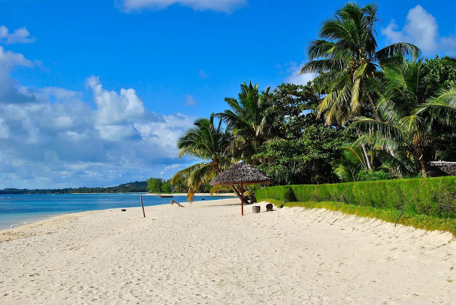
Île aux Nattes (also officially, but less commonly, called Nosy Nato) is a small island south of Île Sainte-Marie, an island off the east coast of Madagascar.
Morondava ([murunˈdav̥], from Malagasy: morona lava "long coast") is a city located in Menabe Region, of which it is the capital, in Madagascar.
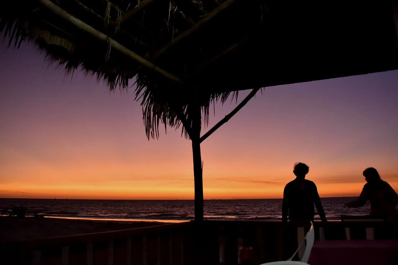
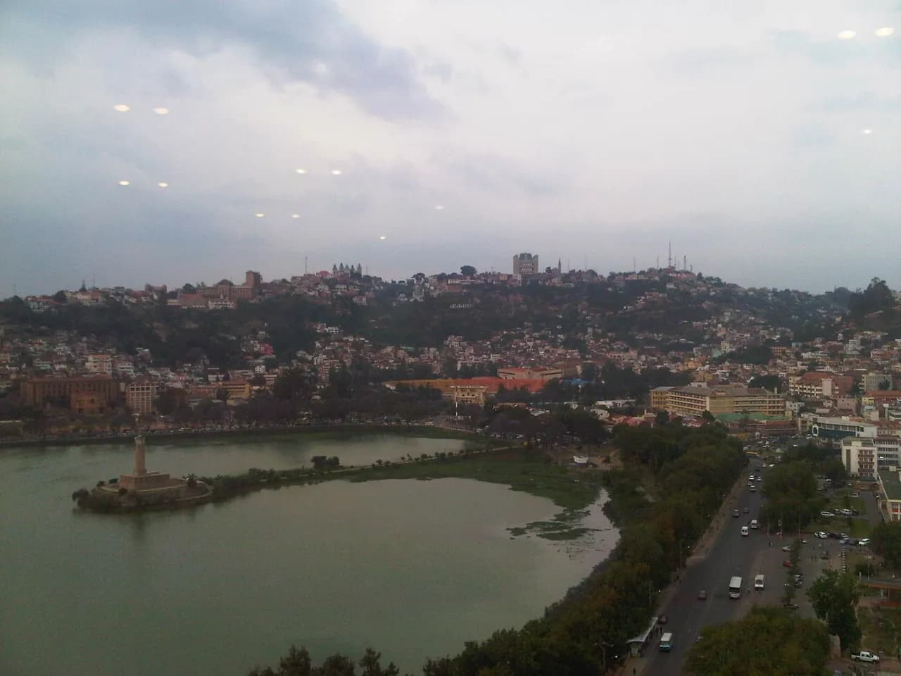
Antananarivo (Malagasy: [antananaˈrivʷ]; French: Tananarive, pronounced [tananaʁiv]), also known by its colonial shorthand form Tana (pronounced [tana]), is the capital and largest city of Madagascar.
Nosy Be (Malagasy pronunciation: [nusʲ be]; formerly Nossi-bé and Nosse Be, lit.
Starting point, season, tips and sources: each sheet says only what its sources say.
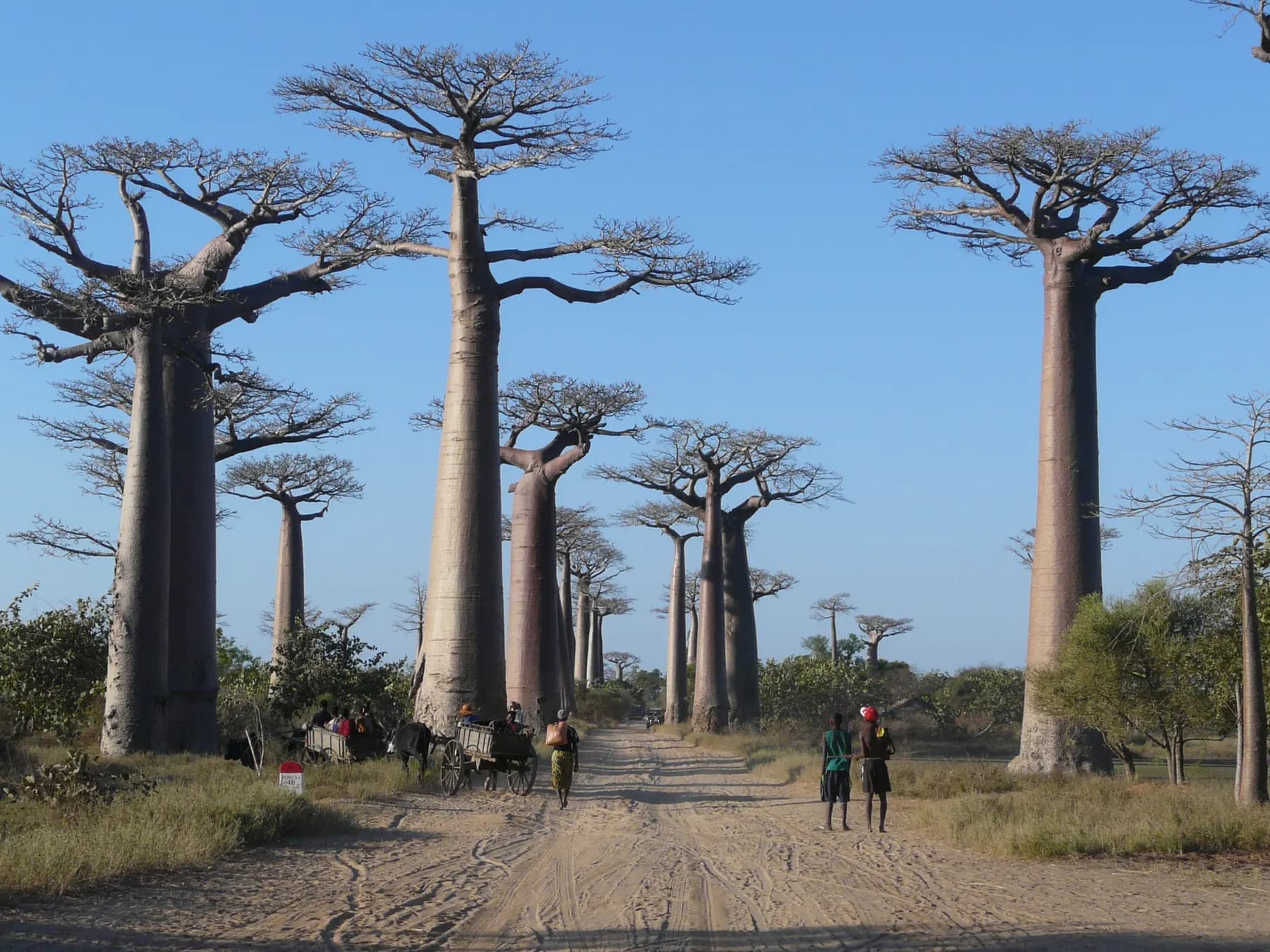
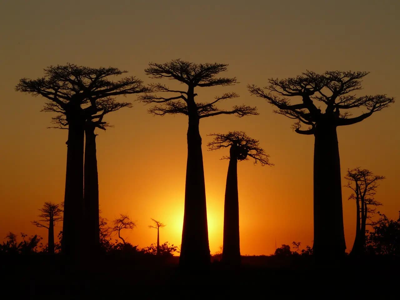
Along 260 m of the unpaved Road No. 8, between Morondava and Belon’i Tsiribihina, stand 20 to 25 Grandidier’s baobabs about 30 m tall.
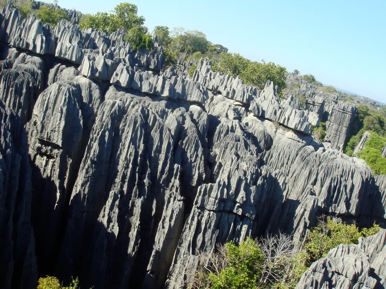
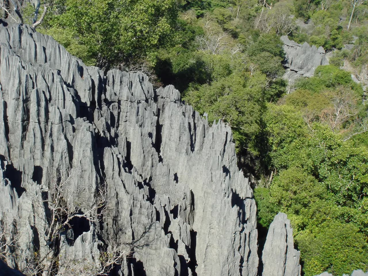
Near the west coast, razor-sharp limestone needles rise above the cliffs of the Manambolo River.
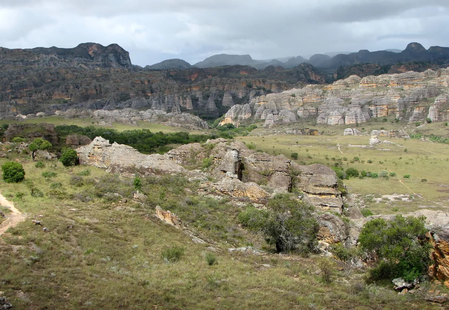
In the south-west, wind and water have carved Isalo’s sandstone into outcrops, plateaus and canyons up to 200 m deep.
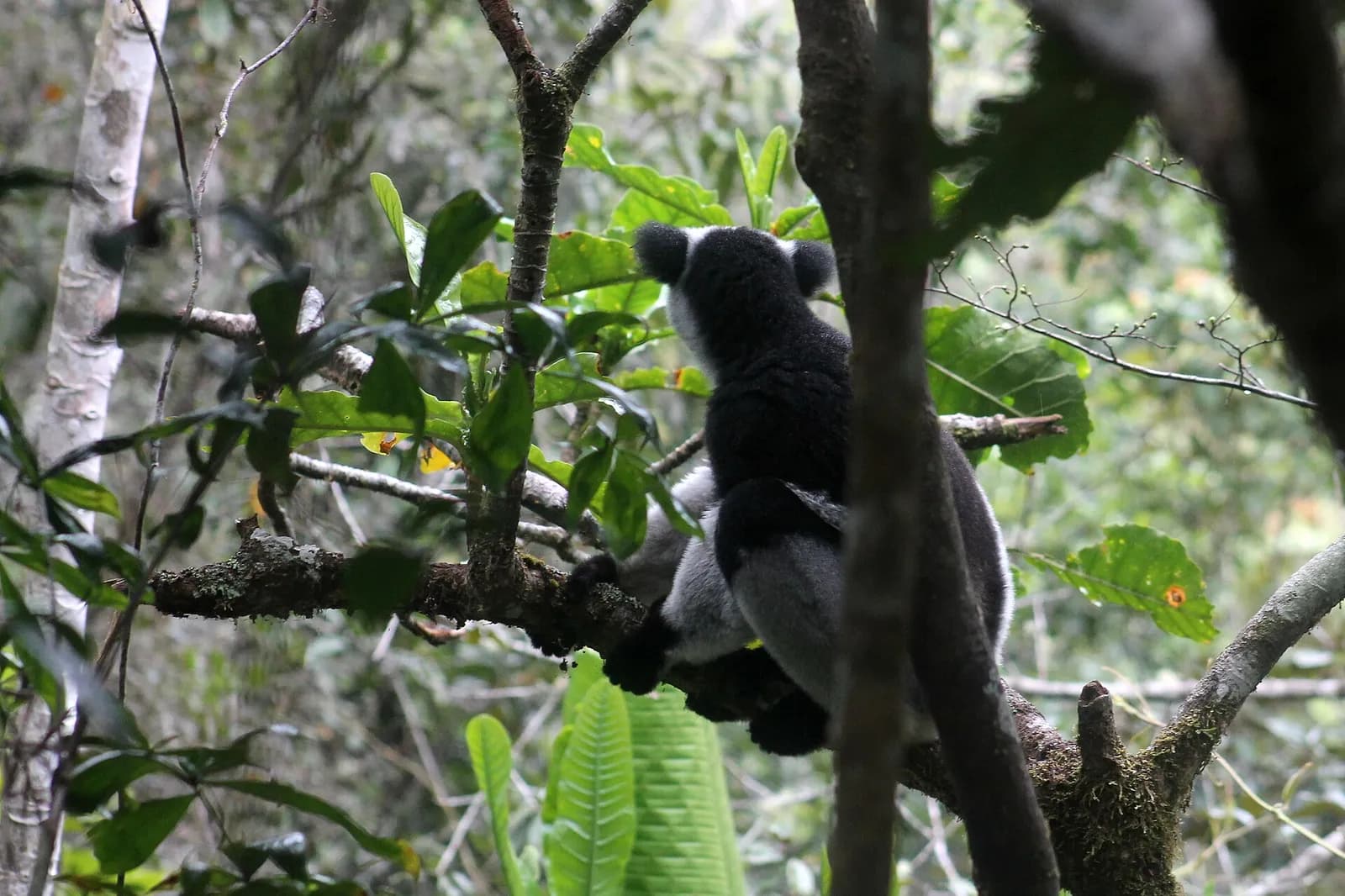
About 150 km east of Antananarivo, this 155 km² rainforest park is home to eleven lemur species.
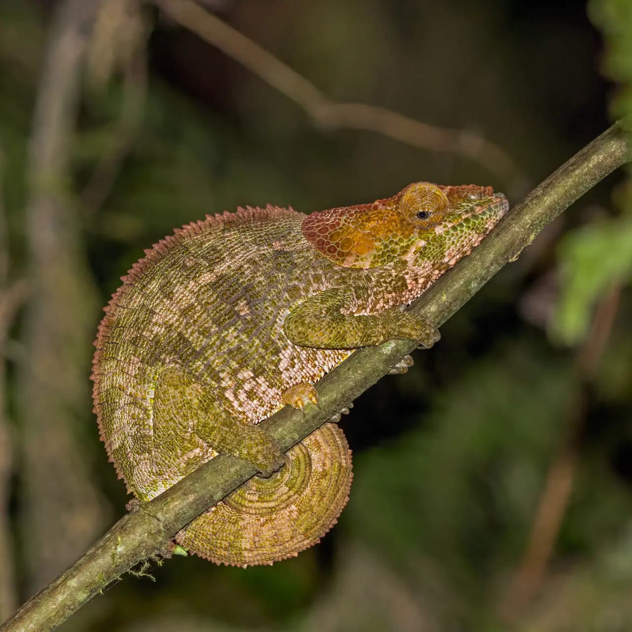
Created in 1991 after the discovery of the golden bamboo lemur, Ranomafana protects over 41,600 hectares of tropical rainforest.
A volcanic island of 320 km² off the north-west coast, Nosy Be — “the big island” — is Madagascar’s largest and busiest tourist destination.
Off the east coast, Île Sainte-Marie, or Nosy Boraha, covers 222 km².
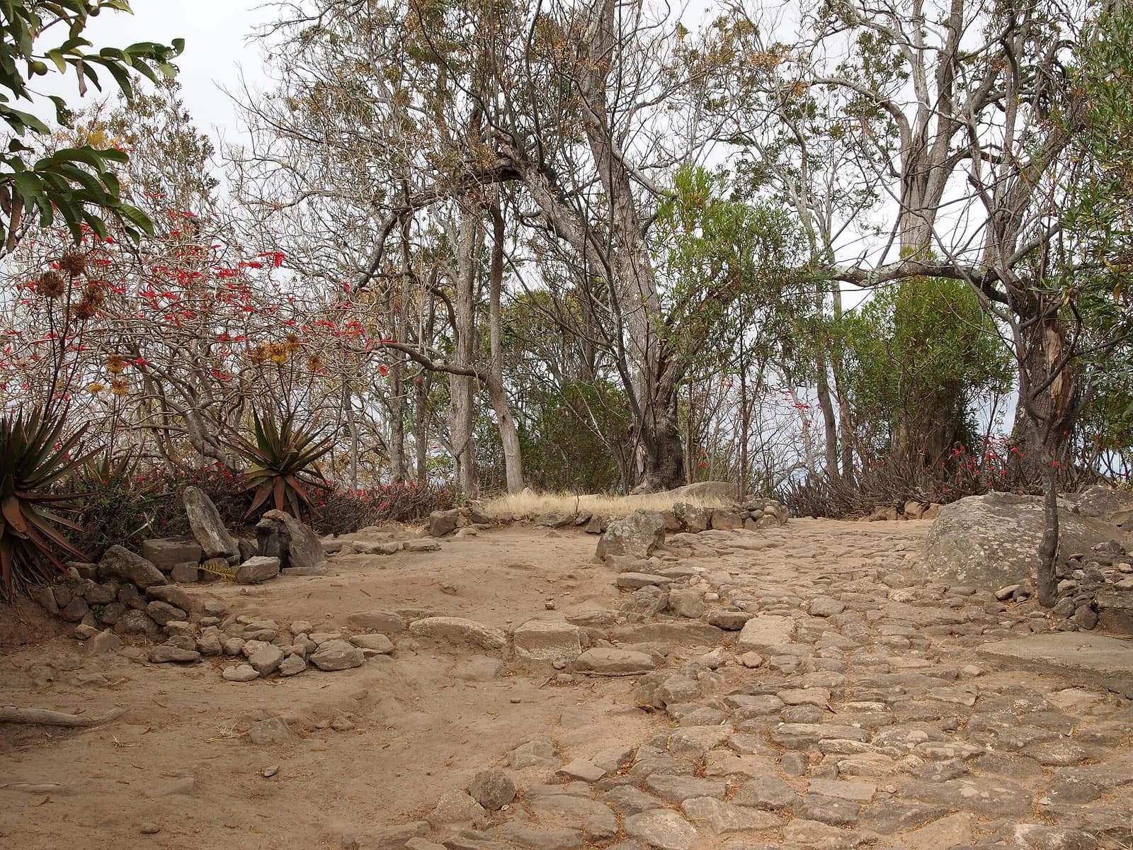
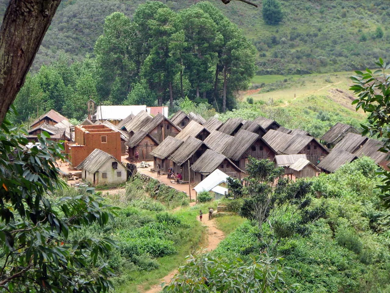
About 24 km north-east of Antananarivo, the fortified hill of Ambohimanga is the best-preserved monument of the precolonial Merina Kingdom.
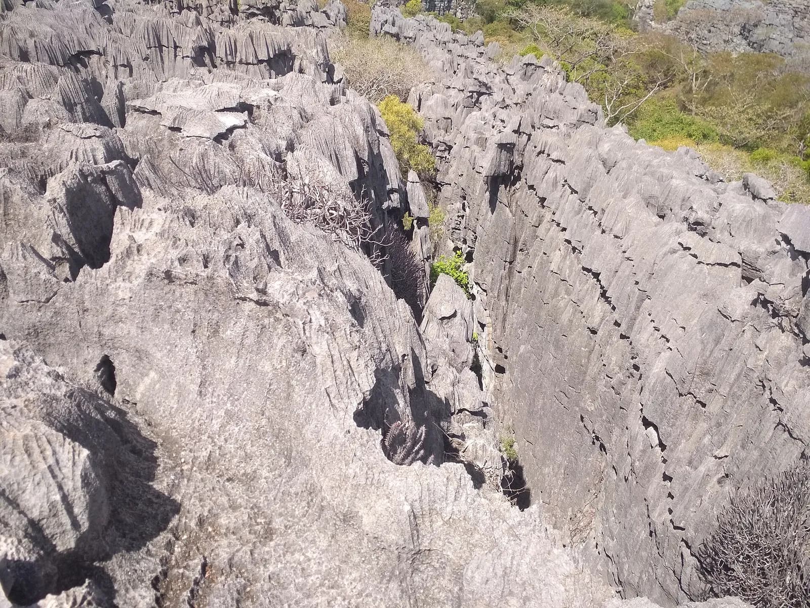
In the north of the island, the Ankarana reserve, created in 1956, covers a plateau of 150-million-year-old Jurassic limestone.
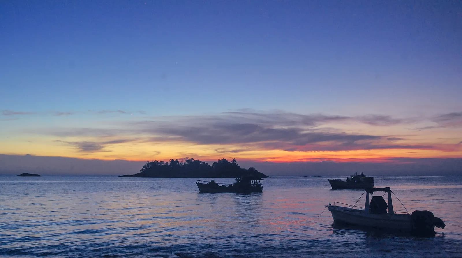
Madagascar’s largest protected area, created in 1997, Masoala protects 2,300 km² of rainforest and 100 km² of marine park.
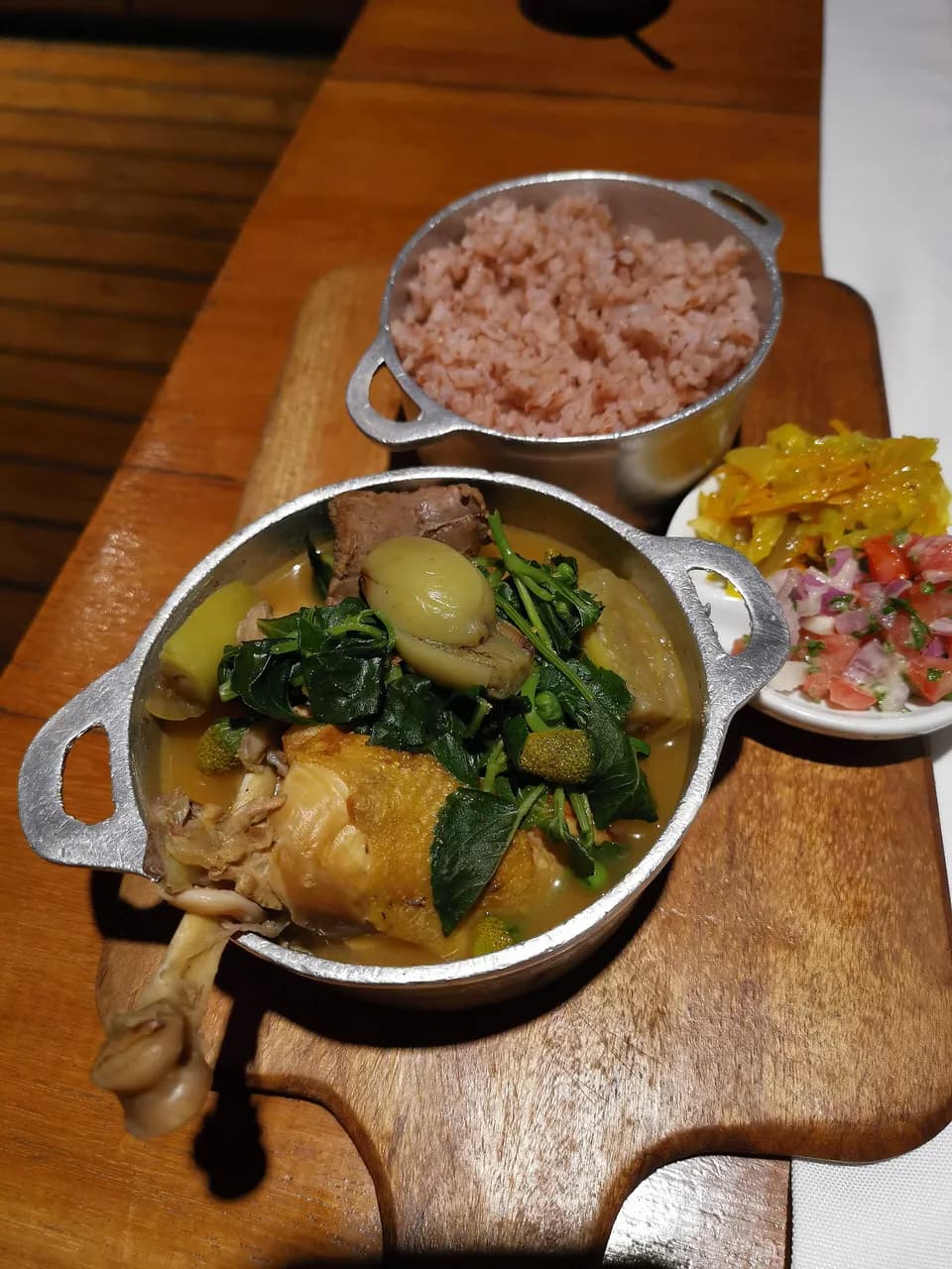
Romazava is the national dish of Madagascar, consisting of greens, zebu meat, tomatoes, and onions, typically accompanied by a portion of rice. An integral component of the stew is brèdes mafana, called anamalaho in Malagasy; the plant holds an acid amide call
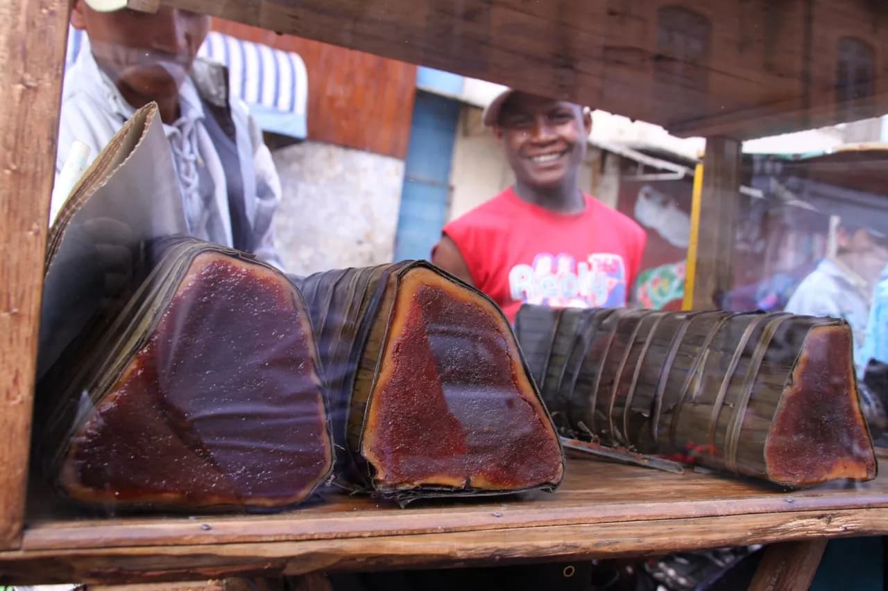
Koba is a sweet made from ground peanuts, brown sugar and rice flour. It is a traditional food of Madagascar, especially in the highlands. In marketplaces and gas stations one may find vendors selling koba akondro, a sweet made by wrapping a batter of ground p
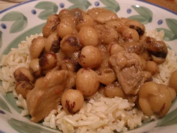
Le laoka est un des deux éléments essentiels de la cuisine malgache, avec le riz (vary). Ce mot désigne les plats salés qui accompagnent le riz à chaque repas puisque ce dernier est considéré comme étant toujours le plat principal. (summary in French)
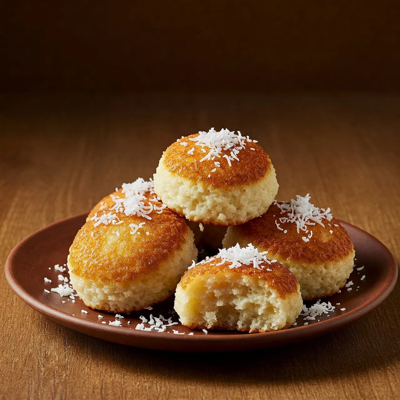
Mofo Gasy, translated as "Malagasy bread", is a Malagasy traditional recipe typically eaten as a breakfast. It consists mainly of rice flour and sugar fried within a specific mold. Mofo gasy can also be made with coconut milk. Variations of the recipe occur ba
Independence Day, 26 June (1960) ; independence: 26 June 1960 (from France).
Fixed dates and moveable events, each with its source; moveable dates change every year and are to be checked on an official calendar.
The country’s highest point, Maromokotro, reaches 2,876 m.
32,740,678 inhabitants in 2025 on 587,295 km², about 56 per km².
Independence on 26 June 1960 (from France).
Real photographs: free images under a verified licence and Viafro images. Never a generated image. Credits in the footer.
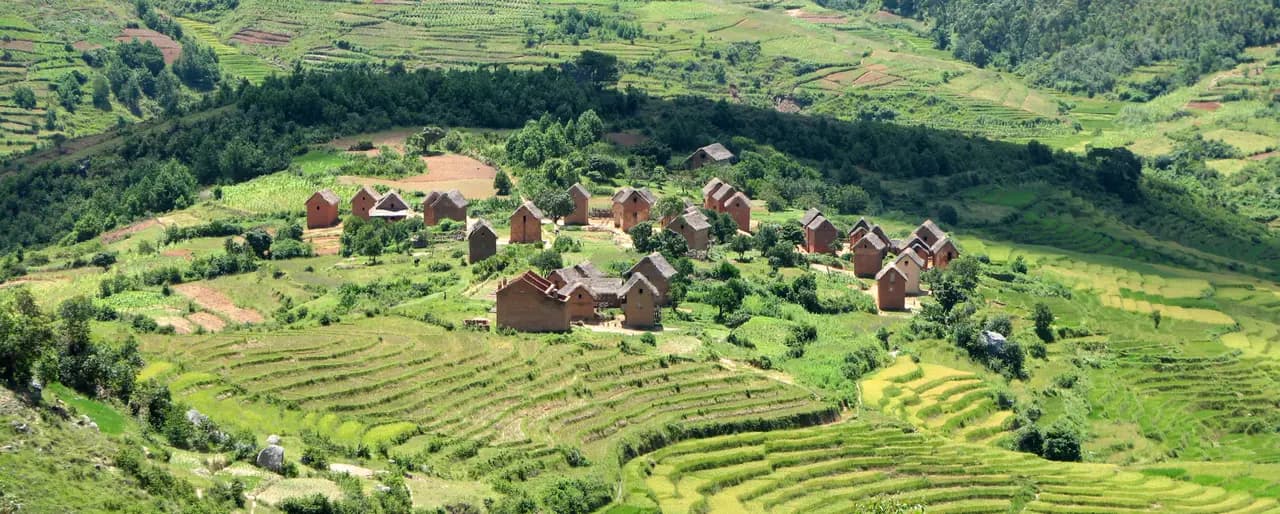
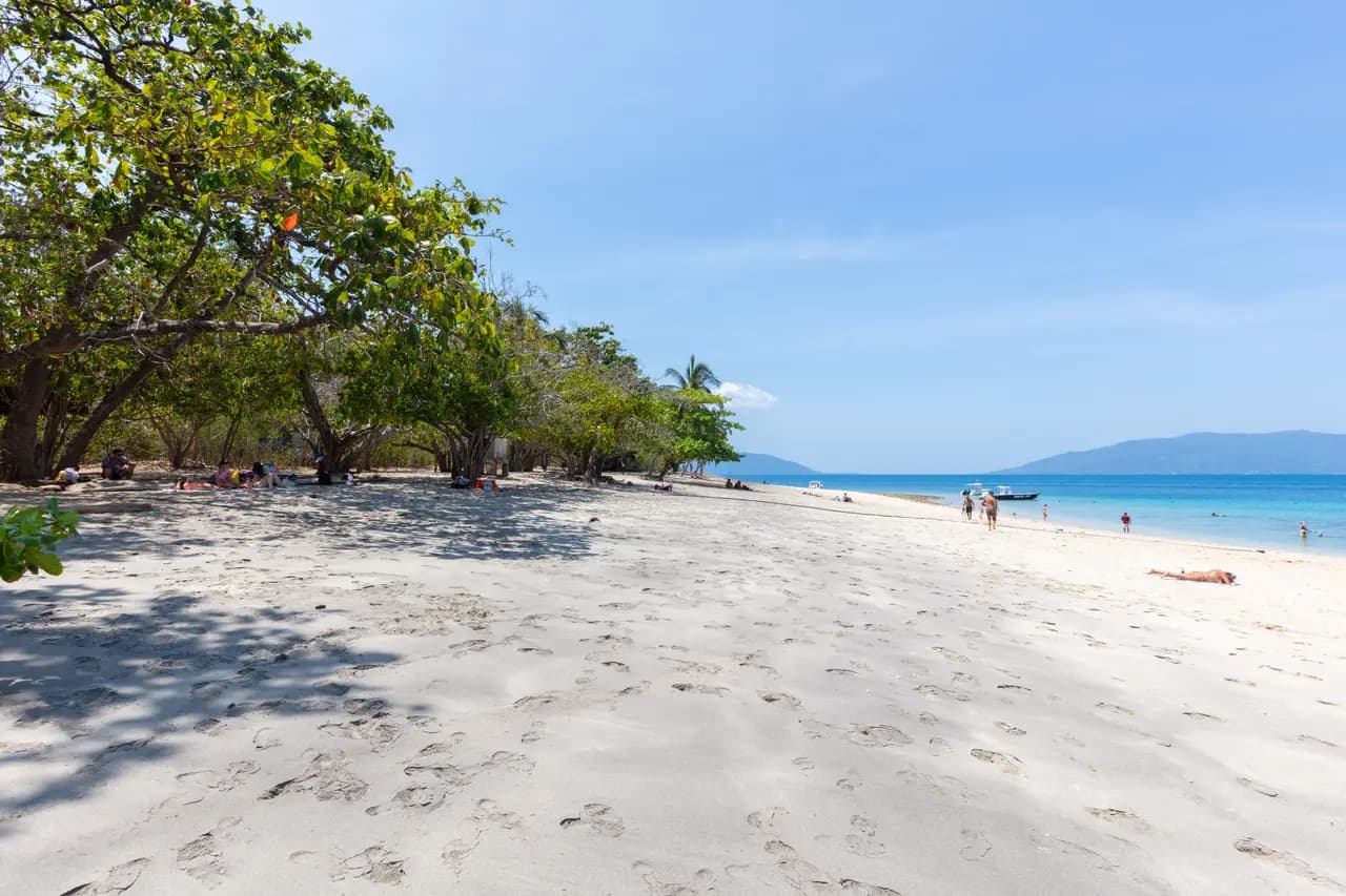
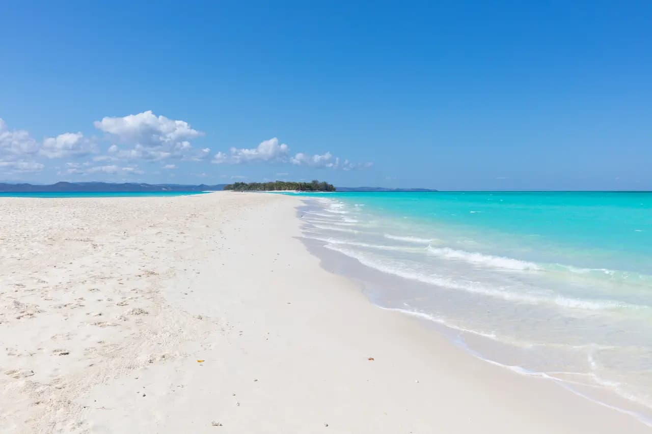
Share your trip with #viafro: the best images will join this gallery, with your credit.
Sourced data (World Bank). No investment advice.
World Bank data (World Development Indicators), consulted on 28 Oct 2026. Tourist arrivals are the latest year published.
Book your stay and take the right guidebook along: partner links, labelled as such, to current prices.
Affiliate link: Viafro earns a commission at no extra cost to you.The Viafro letter
A short letter, when there is something to say. One-click unsubscribe.
Information checked on 28 Oct 2026. Check the official source before you travel. Viafro gives no safety rating and publishes no price without a source.