The canyons of Isalo
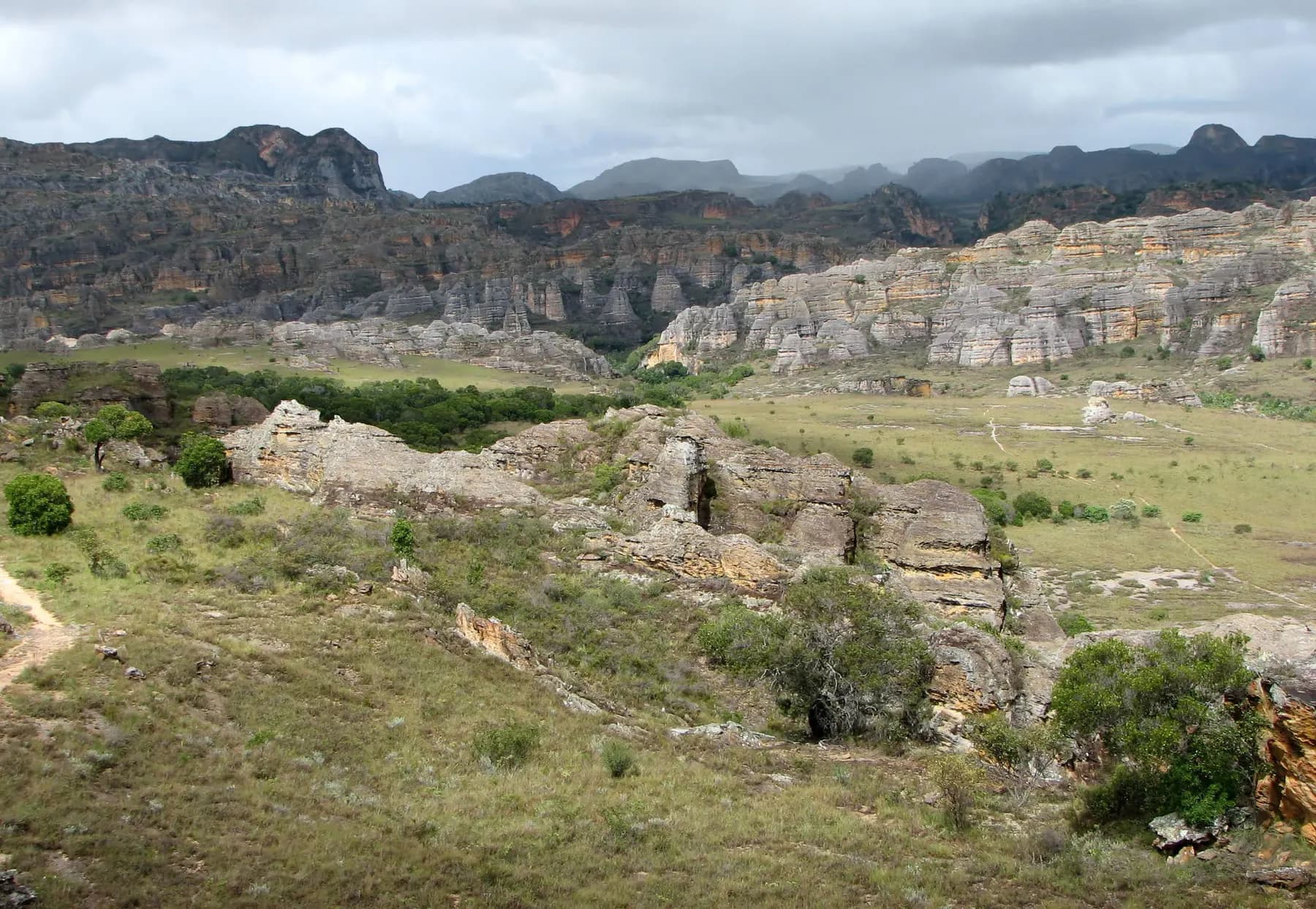
In the south-west, wind and water have carved Isalo’s sandstone into outcrops, plateaus and canyons up to 200 m deep. Created in 1962, the park has been run by Madagascar National Parks since 1997.
Key facts
Before you go.
- Starting point
- Ranohira, the closest townIsalo National Park (Wikipedia)
- GPS coordinates
- -22.55833, 45.40000Isalo National Park (Wikipedia)
Good to know
Three things to remember.
A local guide is required; guides and porters can be hired in Ranohira.
Isalo National Park (Wikivoyage)Treks last from a few hours to a week or more.
Isalo National Park (Wikivoyage)The park holds burial sites of the Bara people, and older ones of the Sakalava.
Isalo National Park (Wikipedia)
Plan the trip
Our recommended partners
One link per need, chosen for reliability. Prices and availability are the partner’s, in a new tab.
Keep exploring
Madagascar
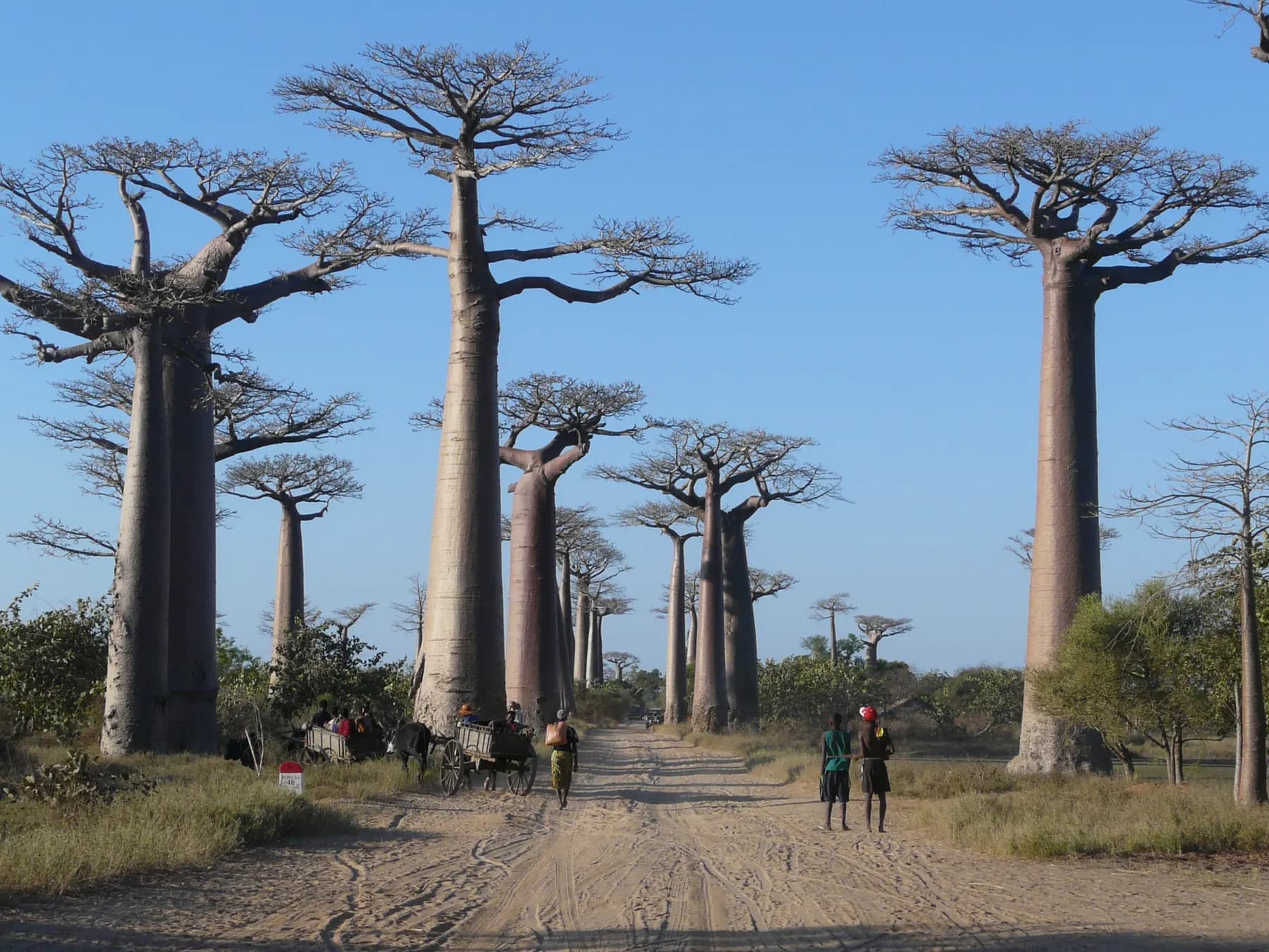
The Avenue of the Baobabs
Along 260 m of the unpaved Road No. 8, between Morondava and Belon’i Tsiribihina, stand 20 to 25 Grandidier’s baobabs about 30 m tall.
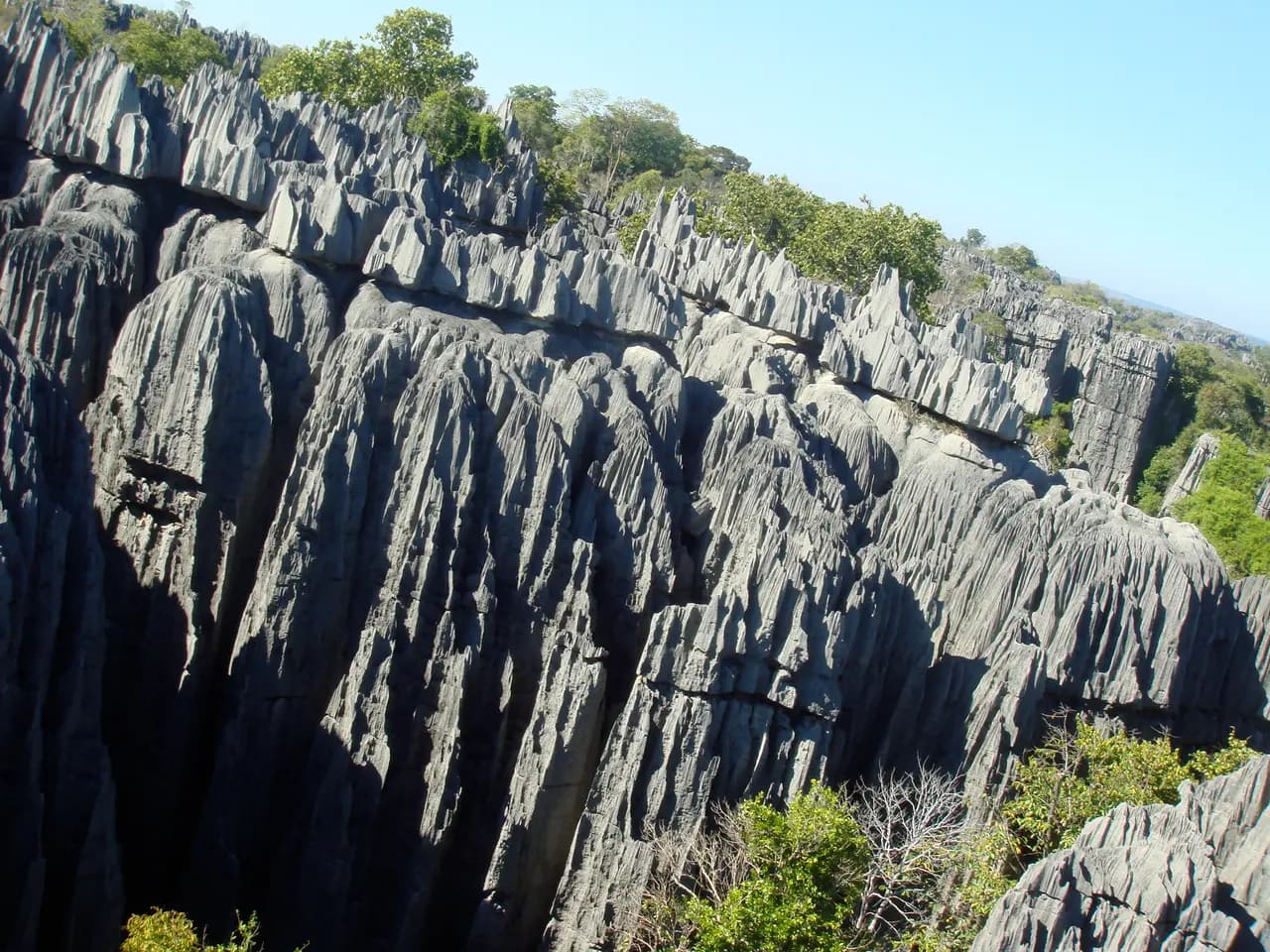
The Tsingy de Bemaraha
Near the west coast, razor-sharp limestone needles rise above the cliffs of the Manambolo River.
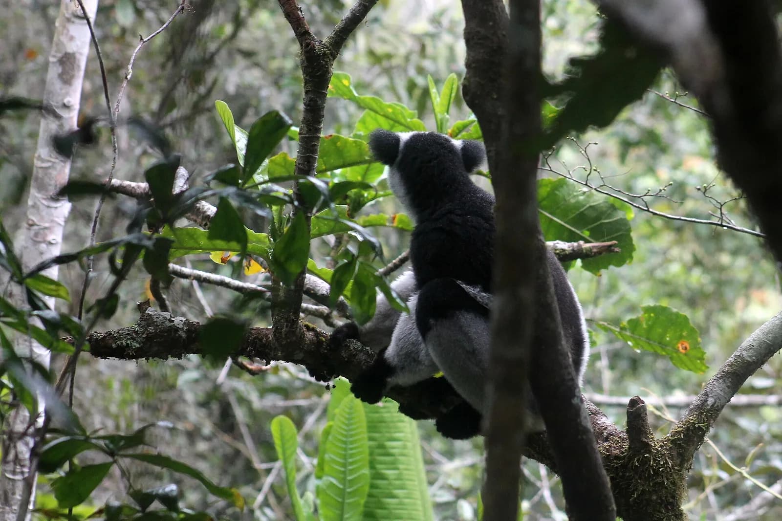
The indris of Andasibe-Mantadia
About 150 km east of Antananarivo, this 155 km² rainforest park is home to eleven lemur species.
Sources · 2 pages consulted, with the exact sentence used
- Isalo National Park (Wikipedia)
The closest town is Ranohira […] It is a sandstone landscape that has been dissected by wind and water erosion into rocky outcrops, plateaus, extensive plains and up to 200 m (660 ft) deep canyons. […] Isalo National Park was created in 1962 and has been administered by the Madagascar National Parks authority since 1997. […] There are burial sites of the Bara people and some older burial sites of the Sakalava. (coordinates -22.55833, 45.4)
- Isalo National Park (Wikivoyage)
A local guide is required for visitors entering the park, and guides and porters can be hired in Ranohira. Treks in the park can last from several hours to a week or longer.
Opening hours, prices and access conditions change: check them with the official source before you go. Viafro publishes no price without a source and a date.