The caves and tsingy of Ankarana
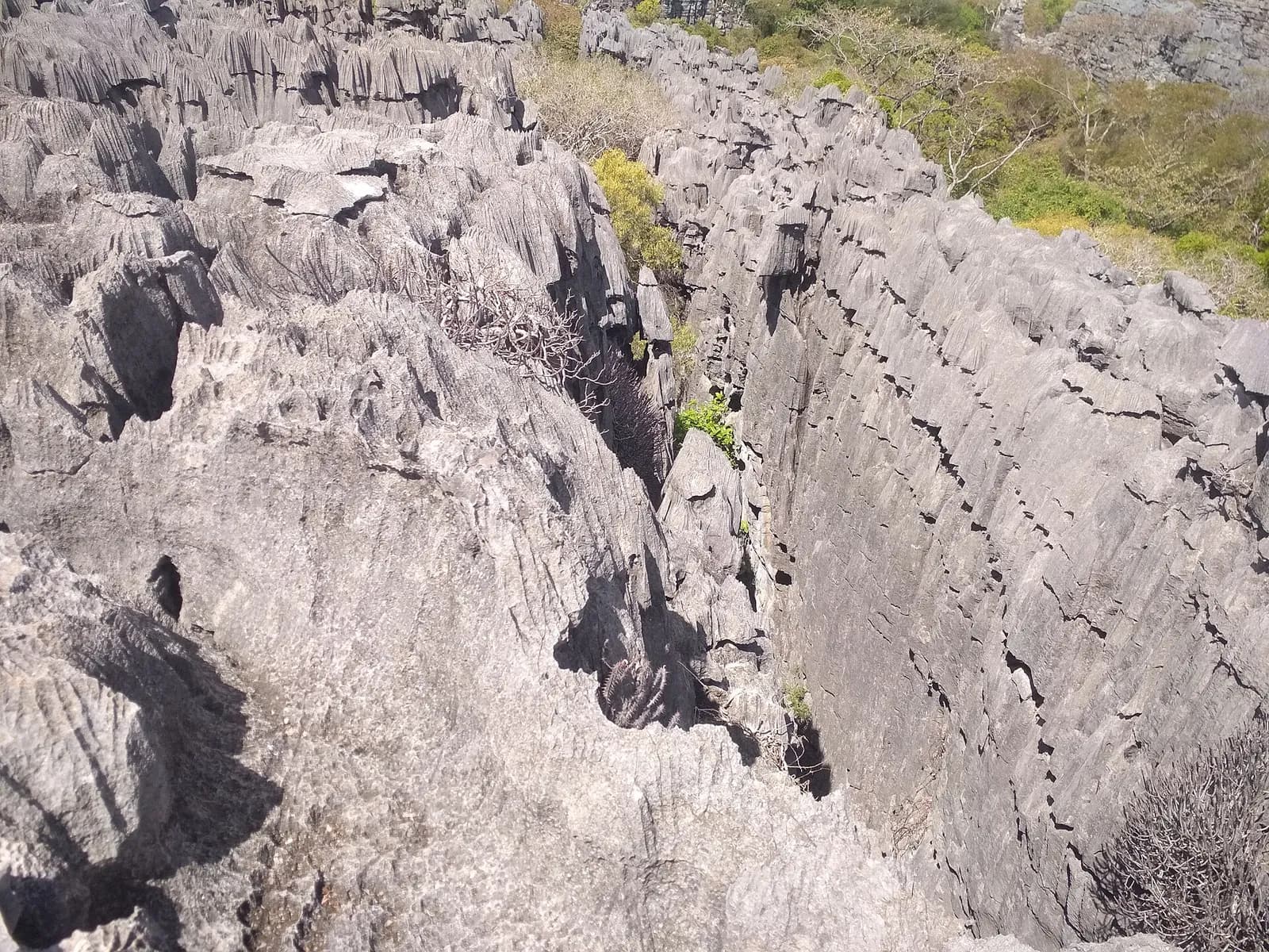
In the north of the island, the Ankarana reserve, created in 1956, covers a plateau of 150-million-year-old Jurassic limestone. Rain has carved caves, underground rivers and tsingy into it.
Key facts
Before you go.
- Starting point
- Mahamasina, on the RN6, 108 km south-west of Antsiranana and 29 km from AmbilobeAnkarana Special Reserve (Wikipedia)
- GPS coordinates
- -13.07278, 48.91472Ankarana Special Reserve (Wikipedia)
Good to know
Three things to remember.
Andrafiabe cave, one of the most accessible, has at least 8 km of horizontal passages.
Ankarana Special Reserve (Wikipedia)About 2,000 mm of rain falls on the massif each year.
Ankarana Special Reserve (Wikipedia)In Malagasy, “tsingy” names the ridges where one cannot walk barefoot.
Ankarana Special Reserve (Wikipedia)
Plan the trip
Our recommended partners
One link per need, chosen for reliability. Prices and availability are the partner’s, in a new tab.
Keep exploring
Madagascar
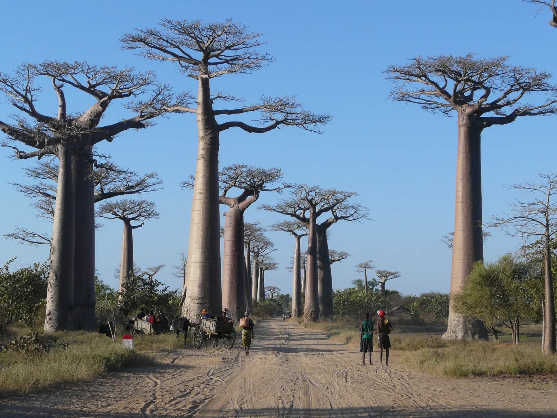
The Avenue of the Baobabs
Along 260 m of the unpaved Road No. 8, between Morondava and Belon’i Tsiribihina, stand 20 to 25 Grandidier’s baobabs about 30 m tall.
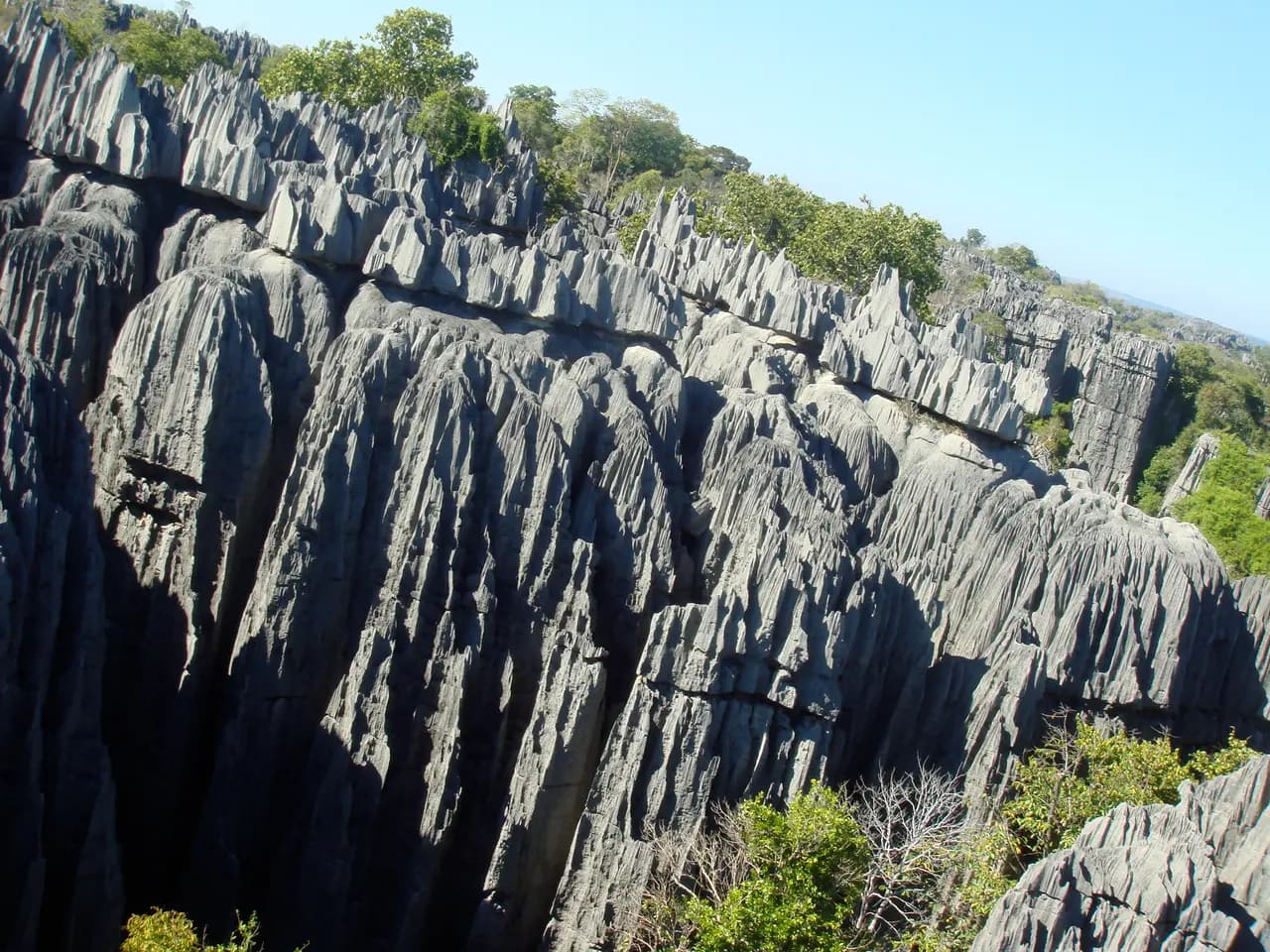
The Tsingy de Bemaraha
Near the west coast, razor-sharp limestone needles rise above the cliffs of the Manambolo River.
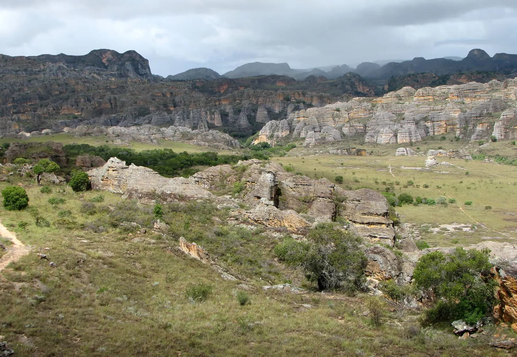
The canyons of Isalo
In the south-west, wind and water have carved Isalo’s sandstone into outcrops, plateaus and canyons up to 200 m deep.
Sources · 1 pages consulted, with the exact sentence used
- Ankarana Special Reserve (Wikipedia)
Ankarana Special Reserve is a protected area in northern Madagascar created in 1956. It is a small, partially vegetated plateau composed of 150-million-year-old middle Jurassic limestone. With an average annual rainfall of about 2,000 millimetres […] the underlying rocks have been eroded to produce caves and feed subterranean rivers […] The southern entrance […] is in Mahamasina […] on the Route nationale 6 some 108 km south-west of Antsiranana and 29 km […] north-east of Ambilobe. […] known in Malagasy as tsingy meaning 'where one cannot walk barefoot'. La Grotte d'Andrafiabe, one of the most accessible caves, comprises at least 8.035 kilometres […] of horizontal passages. (coordinates -13.07278, 48.91472)
Opening hours, prices and access conditions change: check them with the official source before you go. Viafro publishes no price without a source and a date.