Mozambique, the white sand of the Indian Ocean
From the dunes of Bazaruto to the whale sharks of Tofo and the coral town of Ilha de Moçambique: 2,500 kilometres of coast, told beach by beach.
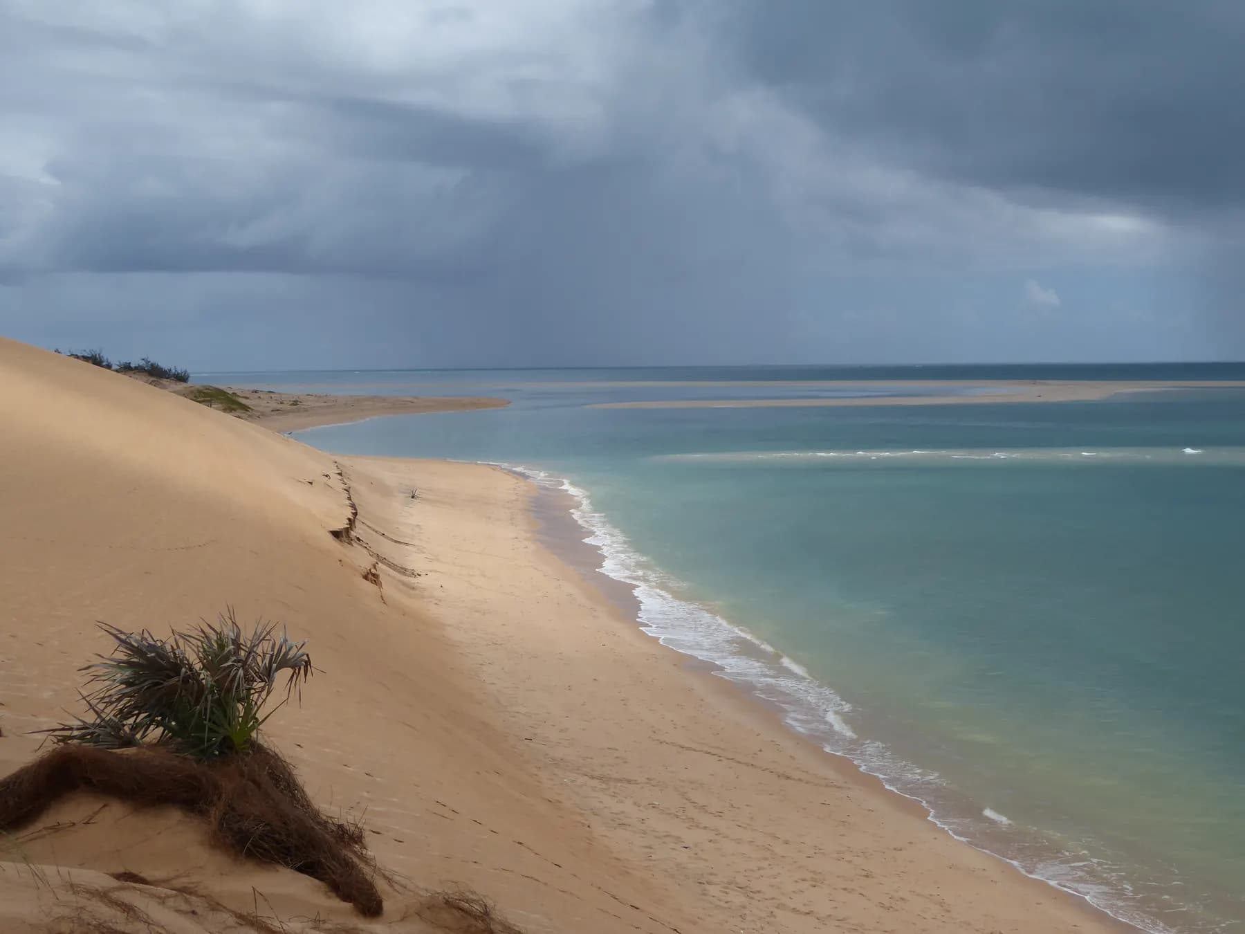
The first thing you notice is the sand. It is white, fine as flour, and it squeaks underfoot to the point of singing. The second is the tide: it pulls back hundreds of metres and leaves behind blond banks, turquoise pools and dhows beached with their sails furled, waiting for the water to return. The third is that there is almost nobody. Mozambique has 2,500 kilometres of Indian Ocean coast, and only a handful of places people travel far to swim from.
This notebook runs along them from north to south, starting with the most famous, the Bazaruto archipelago and its gateway town Vilankulo, then Tofo and its giants of the deep, Ilha de Moçambique and its chapel of 1522, and Ponta do Ouro, at the very bottom, a step from South Africa. It also says when to go, and which part of the country to leave to the official advice.
A coast of 2,500 kilometres
From the Tanzanian border in the north to Ponta do Ouro in the south, Mozambique runs along the channel that bears its name and that Madagascar closes to the east. It is a coast of dunes, lagoons and mangroves, cut by the estuaries of the Zambezi, the Save and the Limpopo, and scattered with sand islands that the currents deposited where the continental shelf is shallowest.
The white sand comes from coral and quartz ground down by the ocean; the water is warm all year, between 24 and 29 degrees, and clear as soon as you move away from the river mouths. Dhows, the wooden-hulled sailing boats with lateen sails inherited from Arab and Swahili navigators, are still used to fish and to cross from one island to the next.
Three centuries of Portuguese presence, a millennium of trade with Arabia, Persia and India, the kingdoms of the interior: the coast mixed everything, in the language, Portuguese, in the cooking, spices and coconut, in the stone, fortresses and mosques. You feel it in Inhambane as in Ilha de Moçambique.
Vilankulo and the Bazaruto archipelago
Vilankulo is a small town in Inhambane province, seven hundred kilometres from Maputo, with an airport, a main street, a fish market and a beach from which you can see, on the horizon, a line of dunes that seems to float: the Bazaruto archipelago. You go by dhow, in an hour or two depending on the wind, or by launch.
Bazaruto National Park, created on 25 May 1971, protects five islands and the sea around them. Bazaruto, the largest, is an island of high dunes and freshwater lakes; Benguerra, its neighbour, hides lakes where crocodiles live; Magaruque and Bangué are wooded sandbanks; Santa Carolina, ‘Paradise Island’, keeps the ruins of a 1950s hotel. On Two Mile Reef, between Bazaruto and Benguerra, you swim among parrotfish and turtles.
The archipelago shelters a population of dugongs, the large herbivorous sea mammals often confused with manatees: some hundred and twenty individuals, the largest that survives in Mozambique and one of the last in East Africa. You sometimes glimpse them from a boat, grey backs surfacing in the seagrass meadows. They are the park’s reason for being, and its fragility.
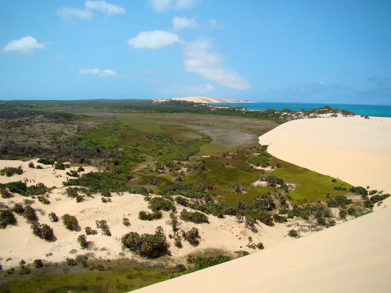
Tofo, giants offshore
Tofo is a fishing village that has become, in twenty years, one of the great diving destinations of southern Africa. The reason lies offshore: the plankton-rich waters of the Inhambane coast attract whale sharks, the largest fish in the world, all year round, and manta rays by the dozen. A foundation of marine biologists has settled here to study them; trips out go with them or with the village dive centres, and you swim beside a whale shark with fins, mask and snorkel, at a respectful distance, in silence.
From July to October, humpback whales move up the coast with their calves, and you watch them breach from the beach. The rest of the time Tofo is a half-moon bay, dunes covered in scrub, surfers in the morning, a market selling fritters and brightly coloured capulana cloth.
Twenty-two kilometres away, Inhambane is one of the oldest towns in the country: a trading post where Vasco da Gama called in 1498 and which he named the ‘land of good people’. The town has kept its tree-lined avenues, its cathedral, its old mosque, its central market and its jetty facing the bay, where the ferry to Maxixe shuttles back and forth with the tides. It is where you spend an afternoon away from the beach to understand the province.
Ilha de Moçambique, the coral town
In the north, in Nampula province, an island three kilometres long is joined to the mainland by a narrow bridge almost as long as the island itself. This is Ilha de Moçambique, which gave the country its name. Capital of Portuguese East Africa until 1898, inscribed on the UNESCO World Heritage List in 1991, it is divided in two: the stone town to the north, with its palaces, churches and coral houses with pastel façades, and the macuti town to the south, with palm-thatched roofs, where most of the population lives.
On the point, Fort São Sebastião is one of the largest Portuguese fortresses in Africa, and in its shadow stands the Chapel of Nossa Senhora de Baluarte, built in 1522: the oldest European building in the whole southern hemisphere, a small Manueline nave facing the ocean. The Palace of São Paulo, former residence of the governors, has become a museum of Indo-Portuguese furniture.
Ilha can be walked in an hour and understood in three days: markets, dhows, children diving from the quay, fishermen mending nets on the beach of the macuti town, and in the evening, silence. It is the most moving place on the coast, and the least easy to reach: you come via Nampula airport, then three hours by road.
Ponta do Ouro, at the very south
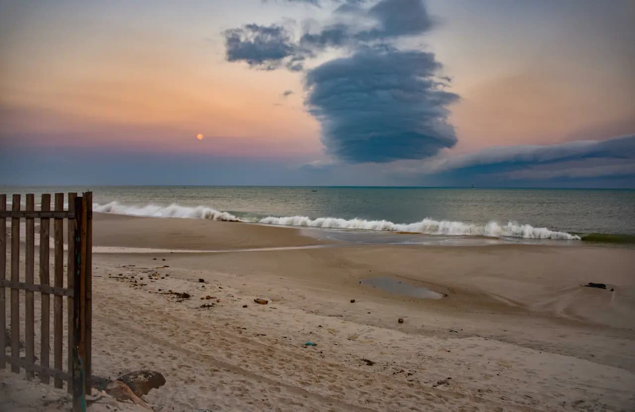
In the far south, fifteen kilometres from the South African border, Ponta do Ouro is the weekend beach of Maputo and Johannesburg: a long curve of blond sand between wooded dunes, a village of low houses, and a sea where you dive on deep reefs. Dolphins live here all year, and supervised trips allow you to watch them in the water under strict rules.
The road from Maputo is recent: since the opening of the Katembe bridge in 2018, the longest suspension bridge in Africa, Ponta is an hour and a half away instead of a day on dirt tracks. On the way, Maputo National Park, where elephants come down to the dunes, brings together savannah, lakes and coast in a single reserve.
Ponta has the simplicity of seaside resorts at the end of the world: no big hotels, lodges in the dunes, a market for bread and fruit, beach bars, and divers comparing their day in the evening. It is the easiest way onto the Mozambican coast, and a good starting point for heading north.
At the table: matapa, prawns and coconut
The cooking of the coast rests on three ingredients: coconut, chilli and whatever the sea gives. The national dish is matapa, cassava leaves pounded then simmered in coconut milk with peanuts, garlic and often crab or prawns, served over rice. Prawns grilled with piri-piri, the chilli sauce inherited from the Portuguese, made Maputo’s reputation far beyond the country.
Fish is eaten grilled over embers, whole, with coconut rice or xima, the maize porridge. Lobster, squid and mangrove oysters complete the table according to season and place. And everywhere, cashew nuts, of which Mozambique is a major producer, roasted and salted in paper cones.
You drink beer, baobab juice and, in the morning at the market, very sweet tea with fried doughnuts. In the villages of the coast, the meal is taken late, after the boats return, and it is shared.
When to go, and where not to
The dry season, from May to October, is the best: mild air, clear skies, visibility of twenty metres underwater, and whales passing from July to October. From November to April it is hot and humid, rain falls in downpours, and from January to March the coast can be struck by cyclones: the period to avoid for the islands.
You arrive via Maputo, then domestic flights to Vilankulo, Inhambane or Nampula; distances by road are long and the island tracks need a four-wheel drive. Malaria is present along the whole coast: prevention is arranged before departure.
The north of the country, Cabo Delgado province and the Quirimbas islands that belong to it, has lived through an armed insurgency since 2017. The authorities advise against all or part of these areas depending on the period. This notebook therefore stops at Ilha de Moçambique; our Mozambique guide carries the current official advice, entry rules and health notes.
Sources · 11
Live this journey.
Guided tours, excursions and tickets from our partner, in a new tab. Prices and availability are theirs.
The journal
Keep reading.
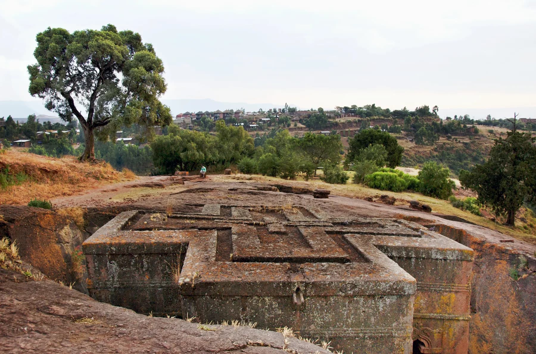
Lalibela, the town carved towards the sky
Eleven churches cut into living rock, a king who wanted his own Jerusalem, pilgrims in white at dawn: a notebook at 2,500 metres.
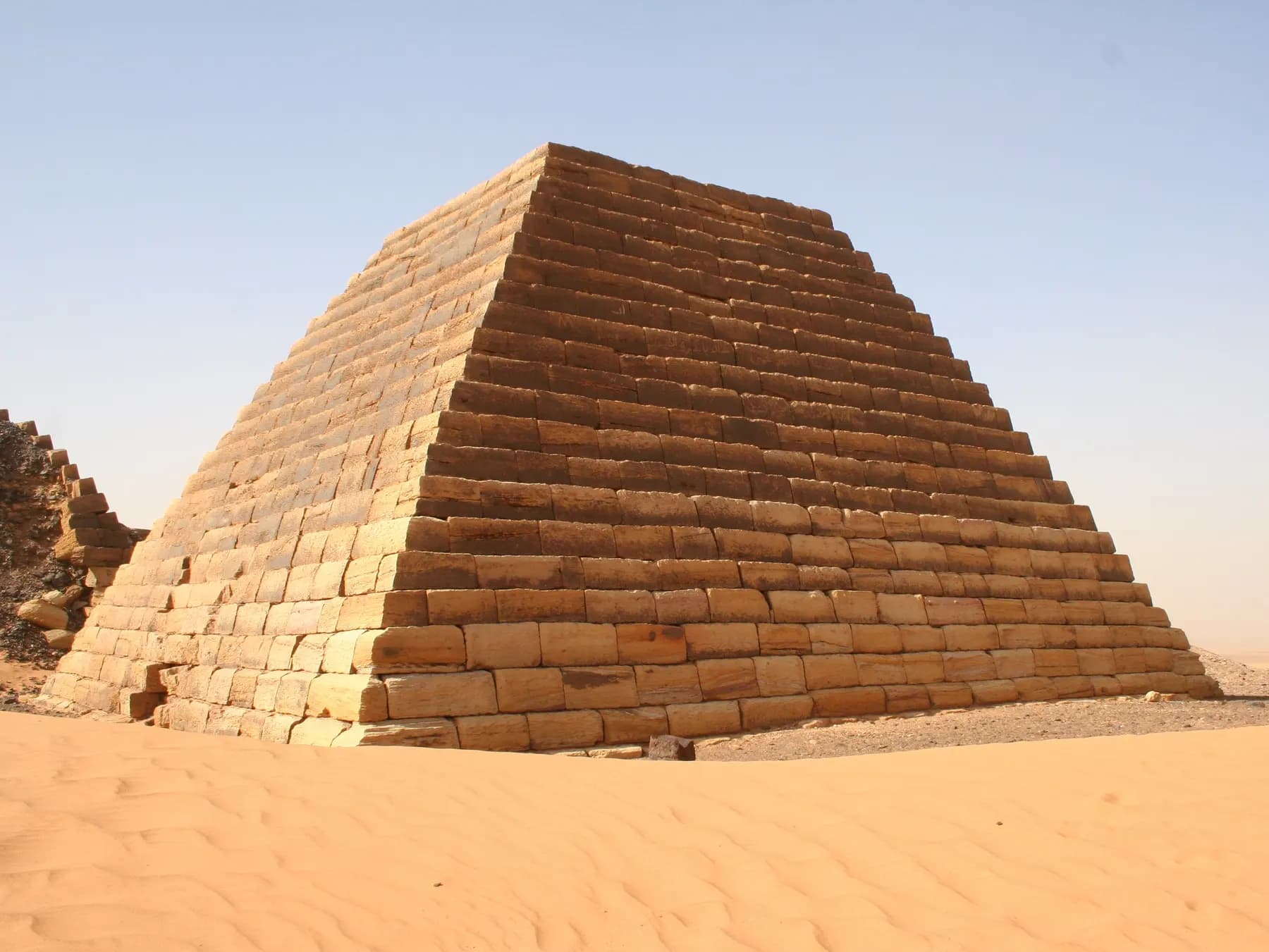
Meroë, the pyramids of the other Nile
Two hundred pyramids in the Sudanese sand, a kingdom that stood up to Rome, warrior queens and a treasure hunter: the Kush notebook.
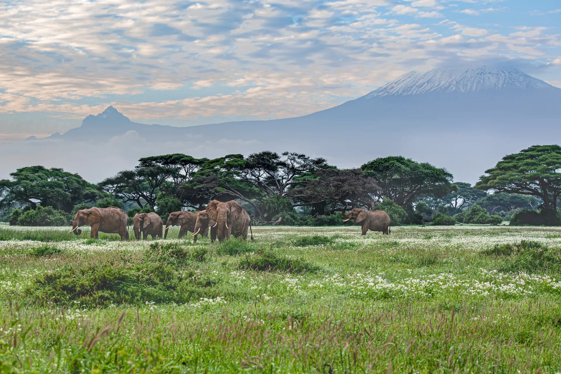
Kilimanjaro, five climates up to the snow
The roof of Africa is climbed on foot, without a rope, in a week: the story of an ascent, from the Chagga banana groves to the last glaciers.