Kilimanjaro, five climates up to the snow
The roof of Africa is climbed on foot, without a rope, in a week: the story of an ascent, from the Chagga banana groves to the last glaciers.
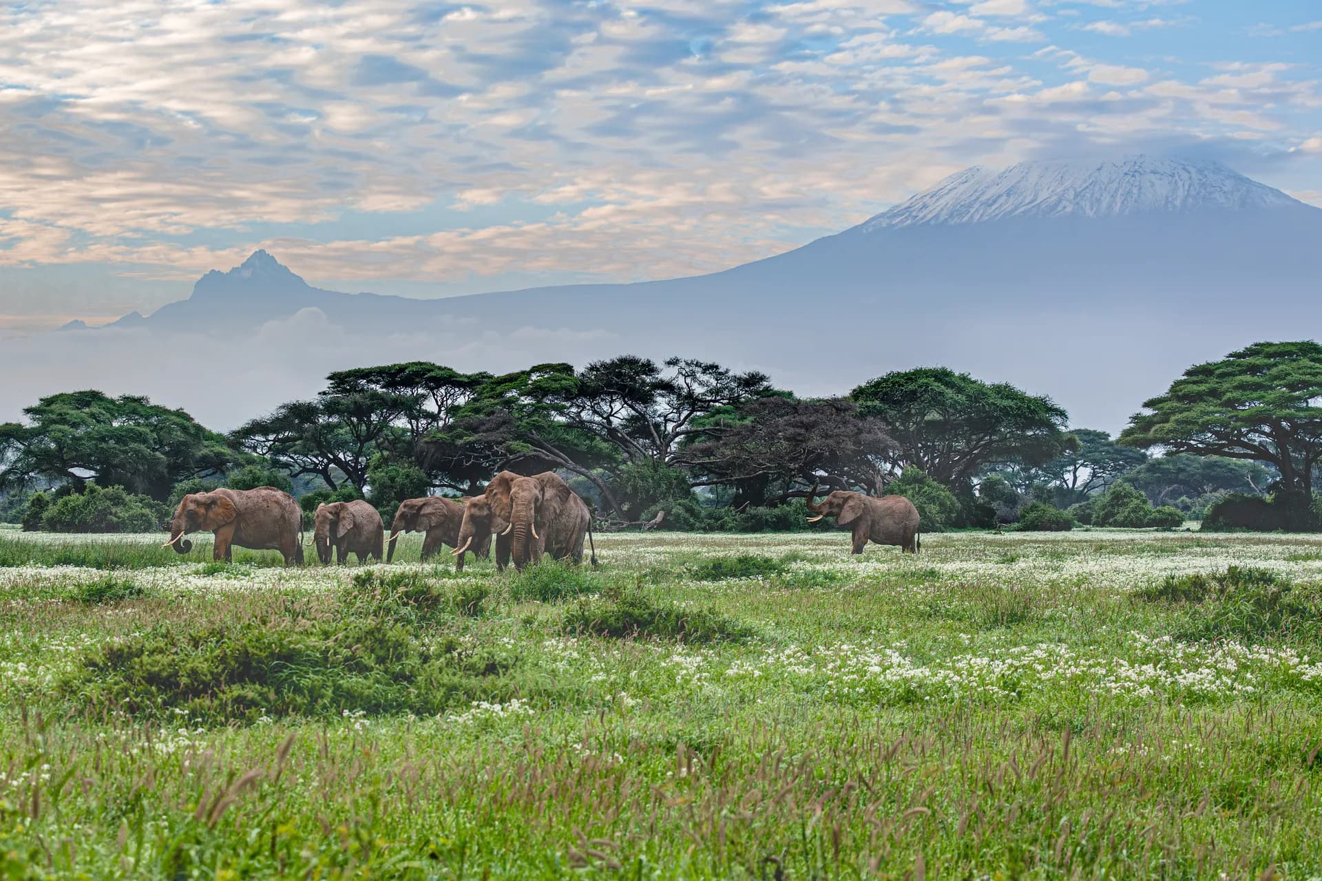
Kilimanjaro shows itself when it pleases. From Moshi, the small town on its southern slopes, you can spend whole days without seeing it: a lid of cloud settles on the mountain by mid-morning and only lifts at dusk. Then, very high, far higher than the eye expected, a white dome appears in the pink sky. That is Kibo, the summit, at 5,895 metres, the highest mountain in Africa and the highest free-standing mountain in the world: no range props it up, it rises alone from the savannah, nearly five kilometres above the plateau.
You climb it on foot, without rope or ice axe, and that is what makes it both accessible and dangerous: altitude cannot be negotiated. This notebook tells the ascent as it is lived, day by day, from the starting village to summit night, then what the mountain says about the people who live on it and the climate that is changing it.
A mountain seen from far away
The most famous picture of Kilimanjaro was taken from Kenya: elephants in the Amboseli marshes, and behind them the whole mountain, from its foot to its cap. That is the view that opens this notebook, because it conveys the scale of the volcano before you set foot on it. Three cones make it up: Shira, to the west, a collapsed plateau; Mawenzi, to the east, a jagged crown of rock at 5,149 metres; and Kibo, in the centre, the regular cone that carries the highest point, Uhuru Peak.
The volcano is dormant, not extinct. Kibo’s crater still releases fumaroles, and geologists list it among the volcanoes that could wake again. It was born more than two million years ago from the same movement of the crust that opened the Rift Valley.
The name remains a mystery. It has been read as ‘mountain of greatness’ or ‘unclimbable mountain’; nobody really knows. When the German missionary Johannes Rebmann wrote in 1848 that he had seen snow on the equator, the geographers in London refused to believe him. Hans Meyer and Ludwig Purtscheller reached the summit in 1889, guided and carried by men of the mountain of whom a single name has come down to us, Yohani Kinyala Lauwo, honoured a century later.
Five climates in a week
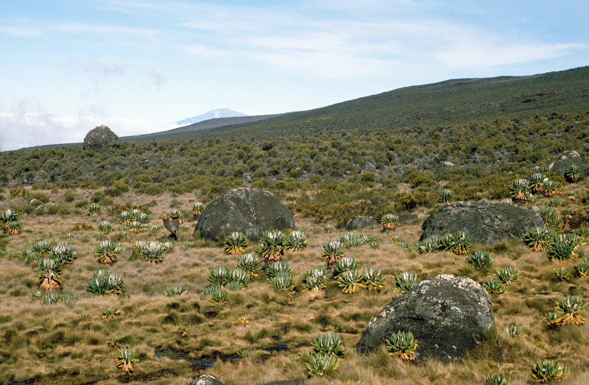
Climbing Kilimanjaro means crossing in a few days what a journey from the equator to the pole would spread over thousands of kilometres. At the start, the cultivated slopes: banana groves, coffee bushes in the shade, houses and schoolyards, up to about 1,800 metres. Then the montane forest, dense, dripping, where black-and-white colobus monkeys leap through the canopy and moss hangs from the branches like a beard.
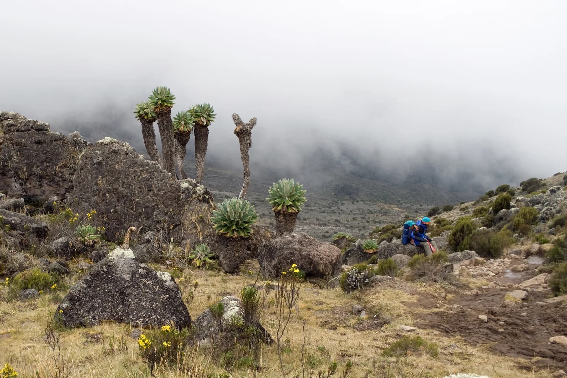
Around 2,800 metres the forest gives way to moorland: giant heathers, everlastings, air that turns cool all at once. This is where the strange plants found nowhere else appear, the giant groundsels, Dendrosenecio kilimanjari, black trunks topped with rosettes of leaves, and the columnar lobelias. They grow up to 4,000 metres, then nothing.
Above begins the alpine desert: stones, dust, a white sun by day and frost by night, not a blade of grass. And at the very top, the arctic zone of the summit, bare rock, snow and what remains of the glaciers. Every day’s walk changes the landscape, the air and the temperature; that is what makes Kilimanjaro a lesson in geography as much as a summit.
Pole pole: the art of climbing slowly
The two words heard most often on the mountain are Swahili: pole pole, slowly, slowly. They are not a courtesy but a medical instruction. Above 2,500 metres the body lacks oxygen; above 4,000, almost everyone feels it, headaches, nausea, broken sleep. Fitness makes no difference: marathon runners turn back, unhurried walkers arrive. What counts is the time given to the body to adapt, drinking a great deal, and the guides’ golden rule: climb high, sleep low.
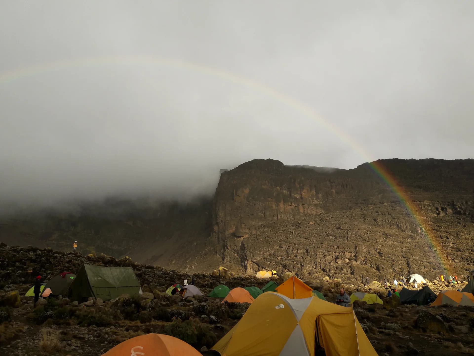
Seven marked routes lead to the top. Marangu, the oldest, is the only one with solid huts; Machame, from the south-west, is the busiest and probably the most beautiful, with its crossing of the Shira plateau and the climb up the Barranco Wall; Lemosho, longer, starts from the west through the forest; Rongai, from the north, is the driest; Umbwe is steep and for seasoned walkers; the Northern Circuit goes round Kibo in nine days. All end with the same night.
Nobody climbs alone: the national park requires a licensed guide, and every group leaves with its porters and its cook. They are the ones who really climb the mountain, gear on their heads, often three times faster than the clients. Choosing an operator that pays, equips and feeds them properly is not a detail: it is the condition for the mountain to remain a good story for everyone.
Summit night
You rise around midnight, in a camp at close to 4,700 metres, after two hours of a sleep that is not one. Outside, it is freezing. Headlamps form a string of lights zigzagging slowly up into the dark, and the only sound is poles on volcanic ash. You stop thinking, you count steps, you drink water that is beginning to freeze in the bottle.
Towards dawn, the rim. It bears a name depending on the route: Stella Point or Gilman’s Point. You reach it as the sky pales over Mawenzi, and you discover on one side Kibo’s crater, immense, flat, lunar, and on the other the African plain lighting up a thousand kilometres around. One more hour remains along the crater rim, almost level, endless, to the wooden sign at Uhuru Peak.
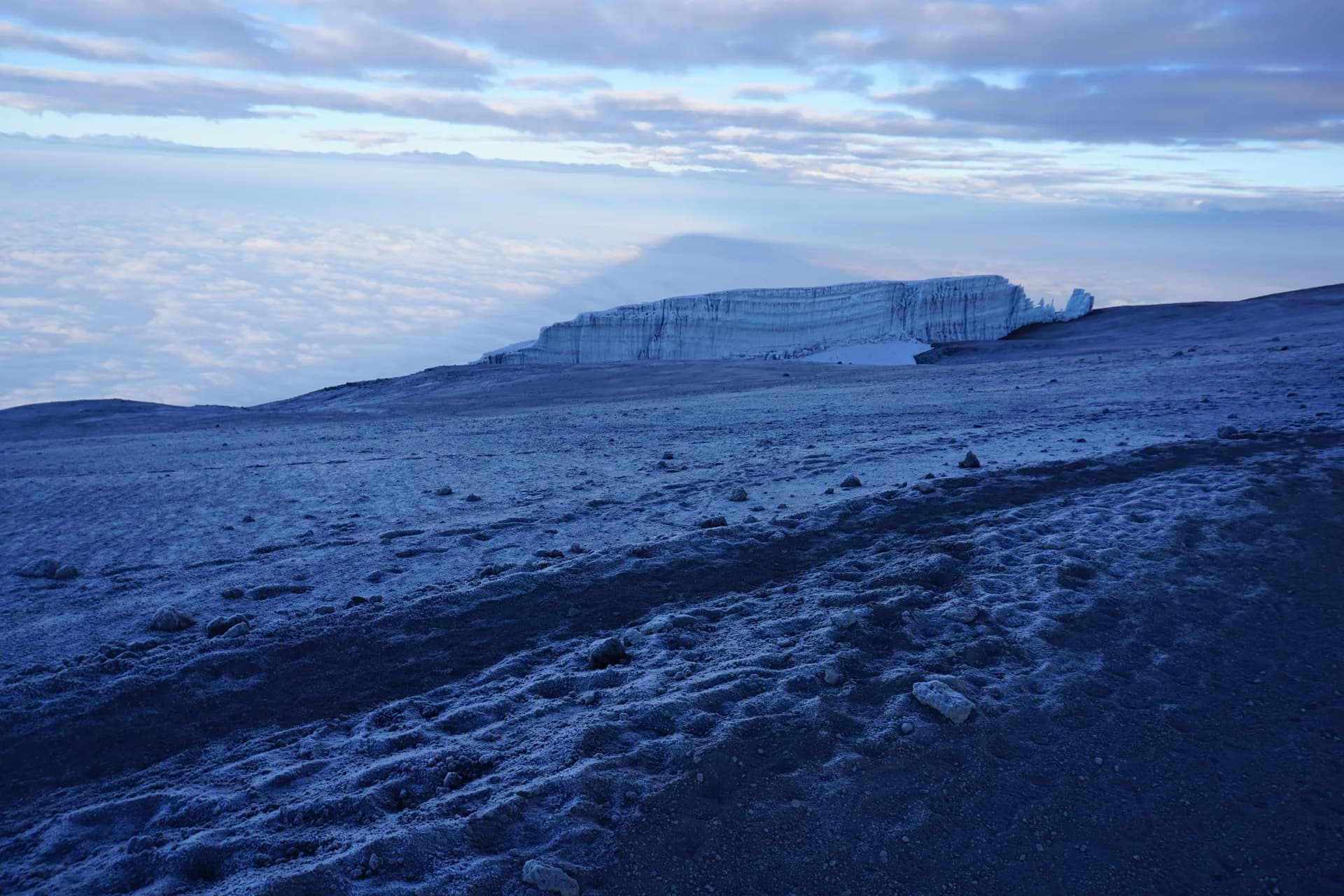
Up there, nobody stays long. The cold, the thin air and the hour push you back down after the photographs and a handful of minutes spent looking at the glaciers, white blocks set on black ash, strangely vertical. The same day’s descent brings you back to 3,000 metres, and that evening, in the tent, you finally sleep.
Glaciers on borrowed time
The snows of Kilimanjaro, the ones that made geographers laugh in 1848, are disappearing. The ice cap lost more than 80% of its area in the 20th century. The Furtwängler Glacier, near the summit, covered 113,000 square metres in 1976; by 2018 it covered only 11,000, holed through its centre, split in two. Scientific projections do not give it until mid-century.
The causes are complex: less precipitation, drier air, ice sublimating under the equatorial sun, and global warming making everything worse. But the result is visible to the naked eye, year after year, to those who climb regularly: the ice walls retreat, fields of stones appear where there was white.
There is something particular about walking towards a landscape you know will no longer exist. The guides say it soberly. It is one of the reasons, not the only one, why Kilimanjaro is a place people climb also to see, and to be able to say they saw.
The Chagga, coffee and banana beer
The mountain is inhabited. Its southern and eastern slopes are Chagga country; they built independent kingdoms here until their abolition in 1963, and made the flanks of the volcano one of the most fertile lands in Tanzania: ancient irrigation channels, terraces, tiered gardens where bananas, coffee and beans grow together in the shade of trees.
Moshi, the starting town, lives on coffee and the mountain. You visit cooperatives, taste a high-grown arabica, and in the evening, in the villages of Marangu or Machame, you share mbege, the traditional Chagga beer made from fermented bananas and millet, sweet then sour, served in large cups.
Before climbing, a day in these villages is worth more than a day in a hotel: the forest waterfalls, the caves where the Chagga sheltered during raids, the stories of old porters. You then understand that Kilimanjaro is not just a summit to tick off; it is a mountain with a human history, and inhabitants who look at it every morning.
Getting there, and when
Kilimanjaro International Airport lies between Arusha and Moshi, under an hour’s drive from each. The best windows are January-February, the warmest and clearest, and June to October, cooler and very busy. April-May and November are the rainy months: the forest turns to mud and the summits to fog.
Allow six to nine days depending on the route; the longer itineraries are also those where the body adapts best, and therefore where you have the best chance of reaching the top. National park fees make up a large share of the budget whatever the operator: a very low price is always paid somewhere, most often on the backs of the porters.
Many combine the mountain with the Ngorongoro Crater and the Serengeti, a few hours to the west, or with the beaches of Zanzibar to let the legs rest. Our Tanzania guide carries the entry rules, health, vaccinations and current official advice.
Sources · 9
Live this journey.
Guided tours, excursions and tickets from our partner, in a new tab. Prices and availability are theirs.
The journal
Keep reading.
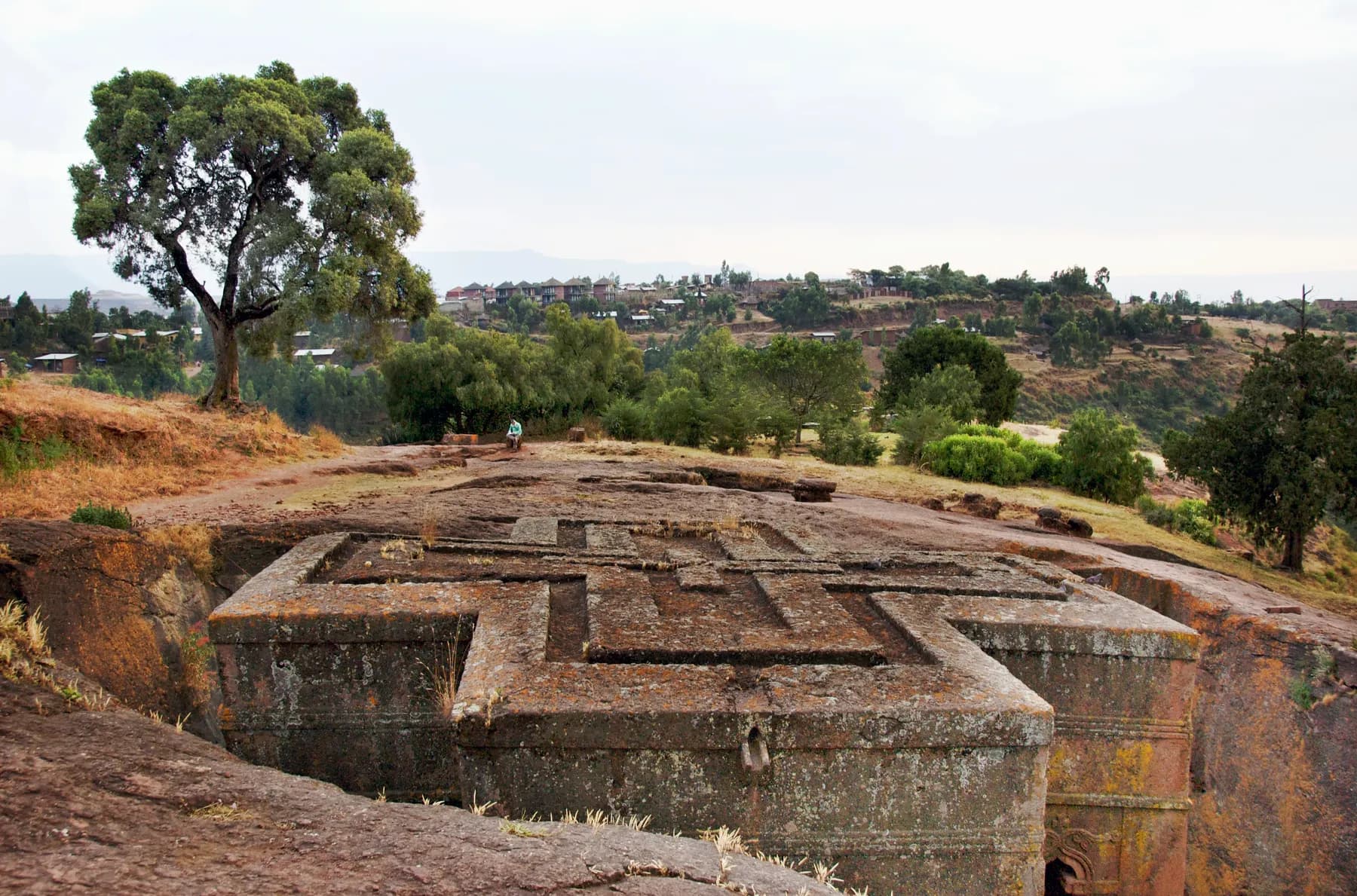
Lalibela, the town carved towards the sky
Eleven churches cut into living rock, a king who wanted his own Jerusalem, pilgrims in white at dawn: a notebook at 2,500 metres.
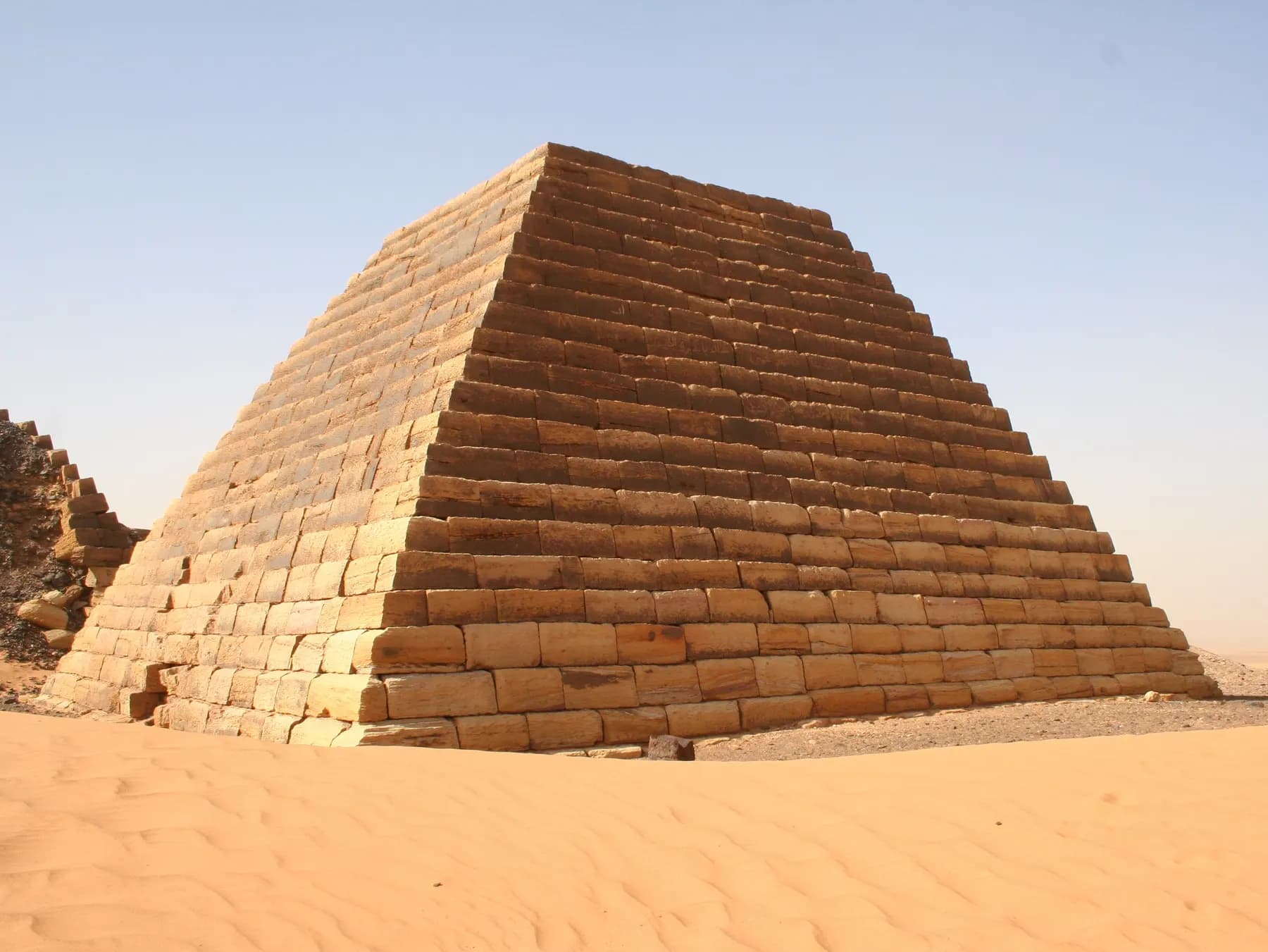
Meroë, the pyramids of the other Nile
Two hundred pyramids in the Sudanese sand, a kingdom that stood up to Rome, warrior queens and a treasure hunter: the Kush notebook.
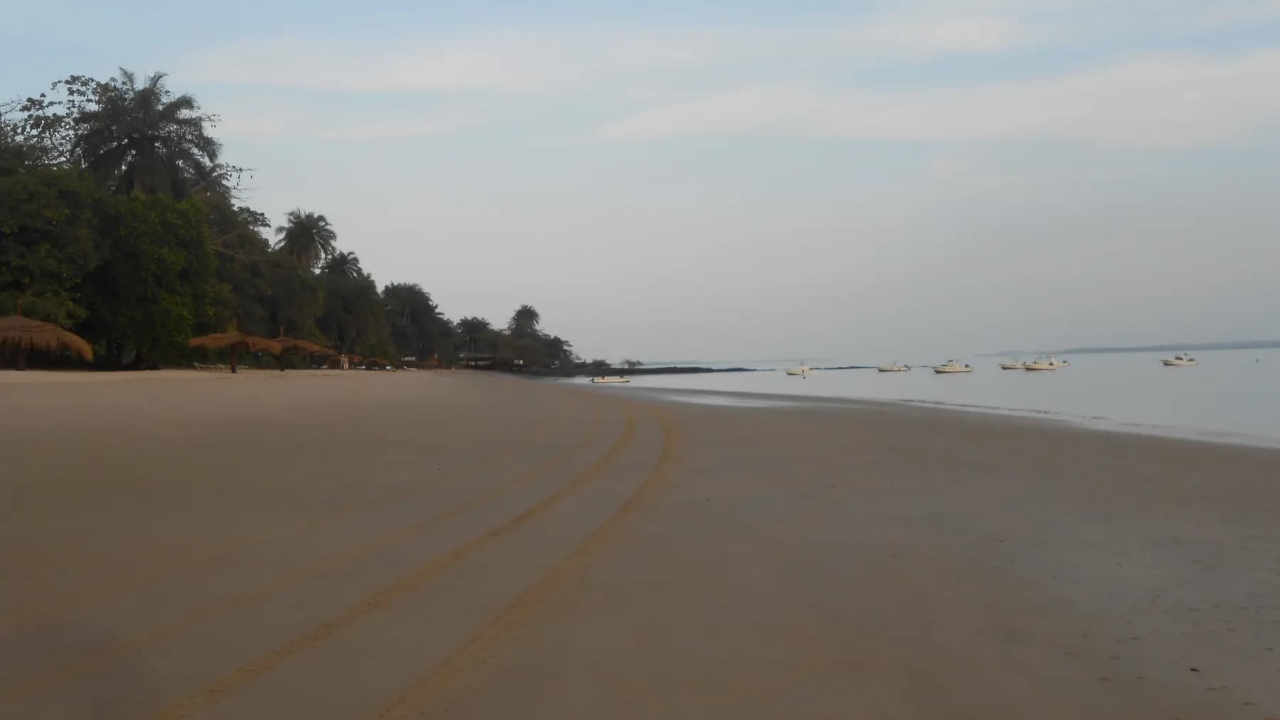
The Bijagós, an archipelago that lives by its own rules
Eighty-eight islands off Guinea-Bissau, hippos that swim in the sea, turtles by the thousand and a society that held off the Portuguese until 1930.