The checklist as a PDF
Entry, health, money, transport and safety, laid out for print, with their sources and verification date.
An editorial bearing, with no percentage and no rating: our criteria are written down, and every “good to know” links to its source.
Hover or tap a month: its reading and its source appear. Bars measure rain, the figure is the capital’s mean maximum.
Ideal
Tunis: mean maximum 22 °C, 53 mm of rain · dry and mild.
Source: Wikipedia (climate normals)
Entry, health, safety, money and facts: dated official extracts, never paraphrased.
Visa, passport, customs
GOV.UK advice, written for British passport holders. French travellers: see France Diplomatie (https://www.diplomatie.gouv.fr/fr/information-par-pays/tunisie/conseils-aux-voyageurs-entree-sejour).
Vaccines, malaria, water
This is not medical advice: talk to your doctor or an international vaccination centre before you travel.
Per the ministries
Viafro gives no safety rating: here are the zones and advice published by the French ministry (in French) and the official extracts, with their dates.
Vigilance zones published by France Diplomatie (in French) · page updated on 15 Sept 2026 · see the official map
Extrême Sud du pays
La région saharienne proche des frontières avec la Libye et avec l’Algérie est formellement déconseillée. Elle correspond à une zone militaire instaurée au mois d’août 2013 par les autorités tunisiennes, les…
Sud du pays
Les déplacements sont déconseillés, sauf raison impérative, dans la zone désertique au sud et à l’Est de la ligne Bir Rijm Maatoug - Borj Bourguiba -Ben Guerdane (cette dernière ville étant comprise dans la zone…
Dans le gouvernorat du Kef, il est recommandé d’effectuer la visite du site de la Table de Jugurtha dans le cadre de circuits organisés par des guides de voyage en lien avec les autorités locales.
Le reste du territoire est en vigilance renforcée.
What the country’s law provides
Photography, alcohol, drugs, relationships: the rules published by the ministries, quoted as they stand, without comment.
Currency
Tunisian dinarViafro publishes no price or budget range without a source: amounts will come from our own expenses recorded on the ground, dated and itemised.
Entry, health, money, transport and safety, laid out for print, with their sources and verification date.
Express card
Structured data from Wikidata and the CIA World Factbook, re-checked at every site update.
Direct flights from Paris are to be checked on the airport’s or airline’s website.
On the road
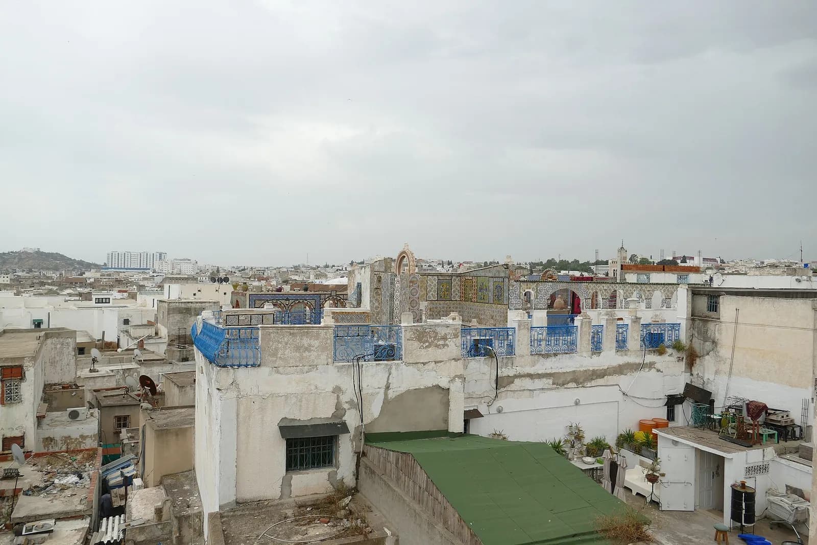
Tunis (Arabic: تونس, ) is the capital and largest city of Tunisia.
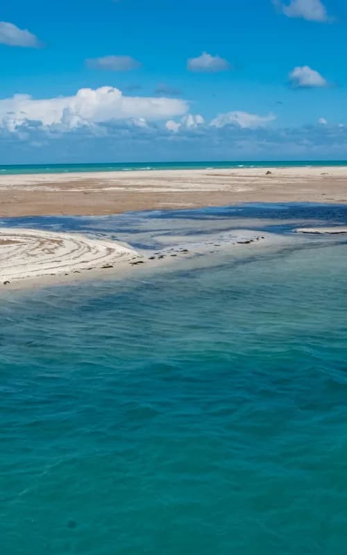
Djerba (; Arabic: جربة, romanized: Jirba, IPA: [ˈʒɪrbæ]; Berber languages: Ǧerba; Italian: Meninge, Girba), also transliterated as Jerba or Jarbah, is a Tunisian island and the largest island of North Africa at 514 square kilometers (198 sq mi), in the…
Monastir (Arabic: المنستير, romanized: al-Munastīr, pronounced [ælmunæsˈtiːr]; from the Greek μοναστήριον monastḗrion, 'hermit's cell, monastery'), also called Mestir (Tunisian Arabic: المستير, romanized: il-Məstīr; ), is a city on the central coast of…
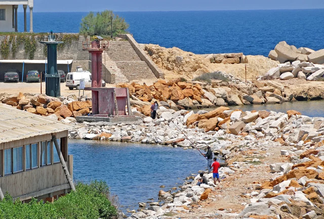
Sfax ( s(ə-)FAKS; Arabic: صفاقس, romanized: Ṣafāqis, Tunisian Arabic pronunciation: [ˈsˤfɛːqəs] ) is a major port city in Tunisia, located 270 km (170 mi) southeast of Tunis.
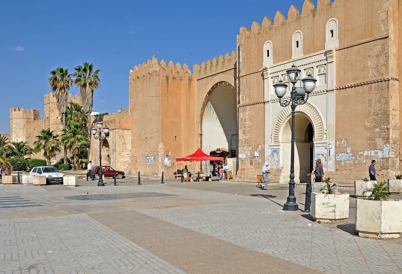
Starting point, season, tips and sources: each sheet says only what its sources say.
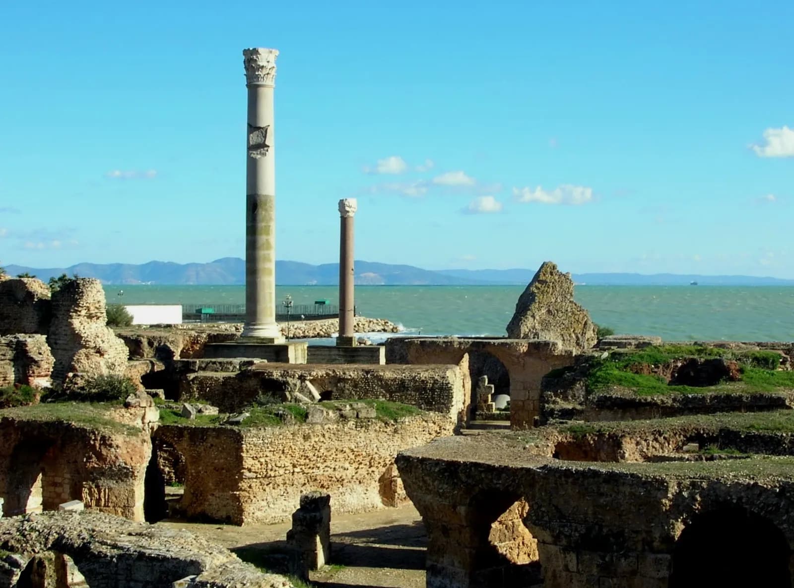
The ancient city was destroyed in 146 BC by Rome, after a siege of nearly three years in the Third Punic War.
Founded in 698 around the Zitouna Mosque, the Medina of Tunis holds some 700 monuments: palaces, mosques, mausoleums, madrasas and fountains.
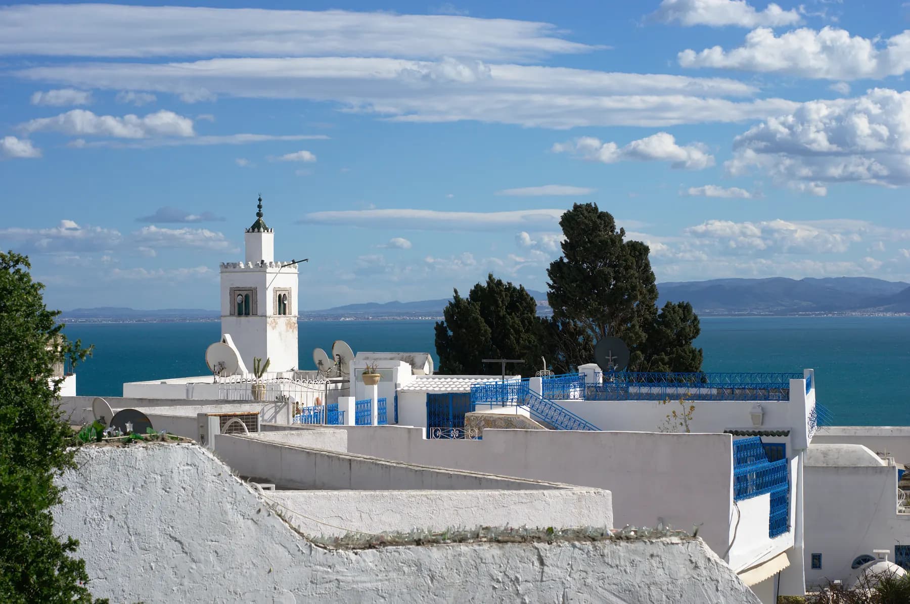
Some 20 km north-east of Tunis, Sidi Bou Saïd is celebrated for its white houses with blue doors and windows.
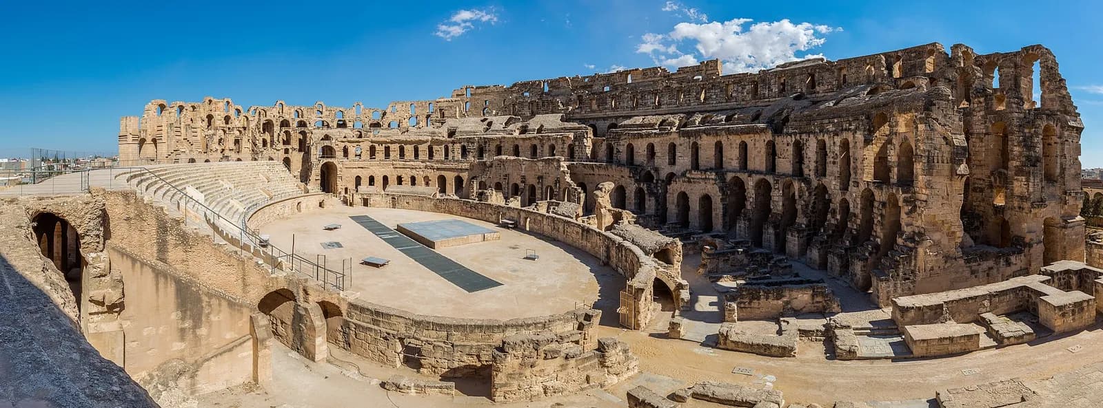
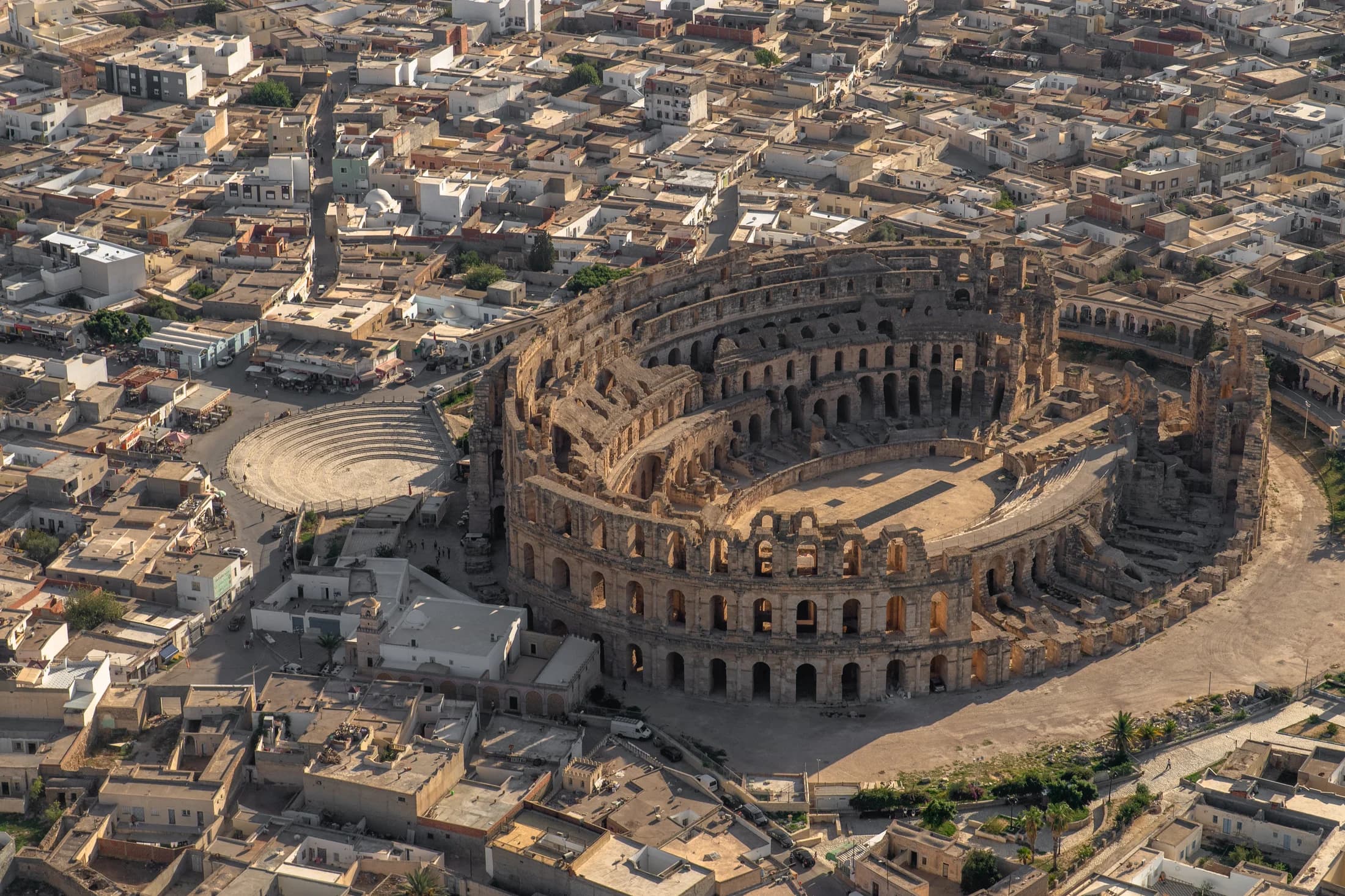
Built around AD 238 in ancient Thysdrus, the El Jem amphitheatre held an estimated 35,000 spectators.
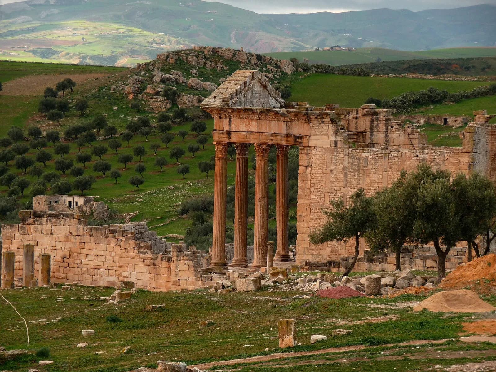
For UNESCO, which listed it in 1997, Dougga is “the best-preserved Roman small town in North Africa”.
North Africa’s largest island at 514 km², in the Gulf of Gabès, Djerba has been a UNESCO World Heritage Site since 2023.
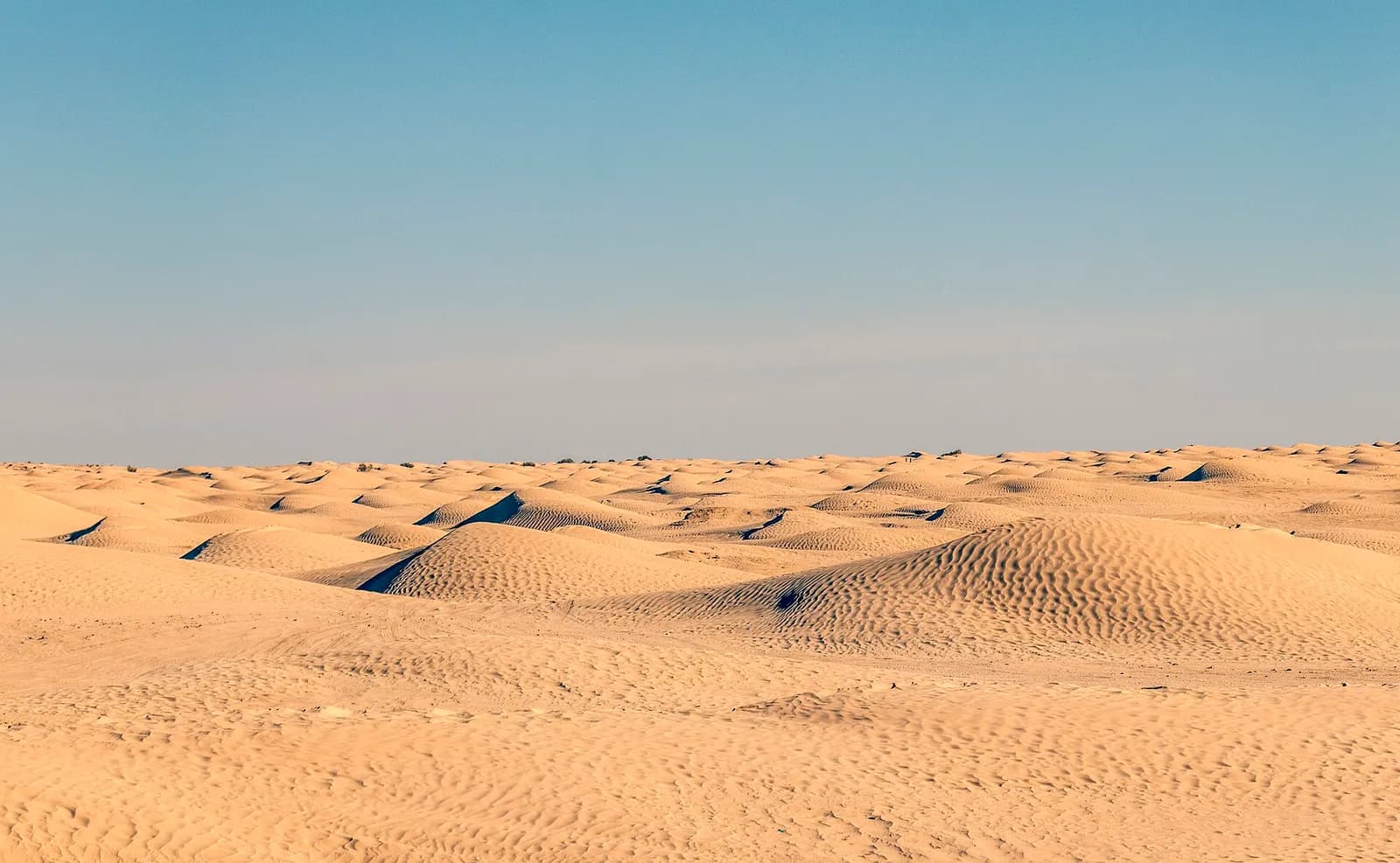
Known as the “gateway to the Sahara”, Douz was an important stop on the trans-Saharan caravan routes.
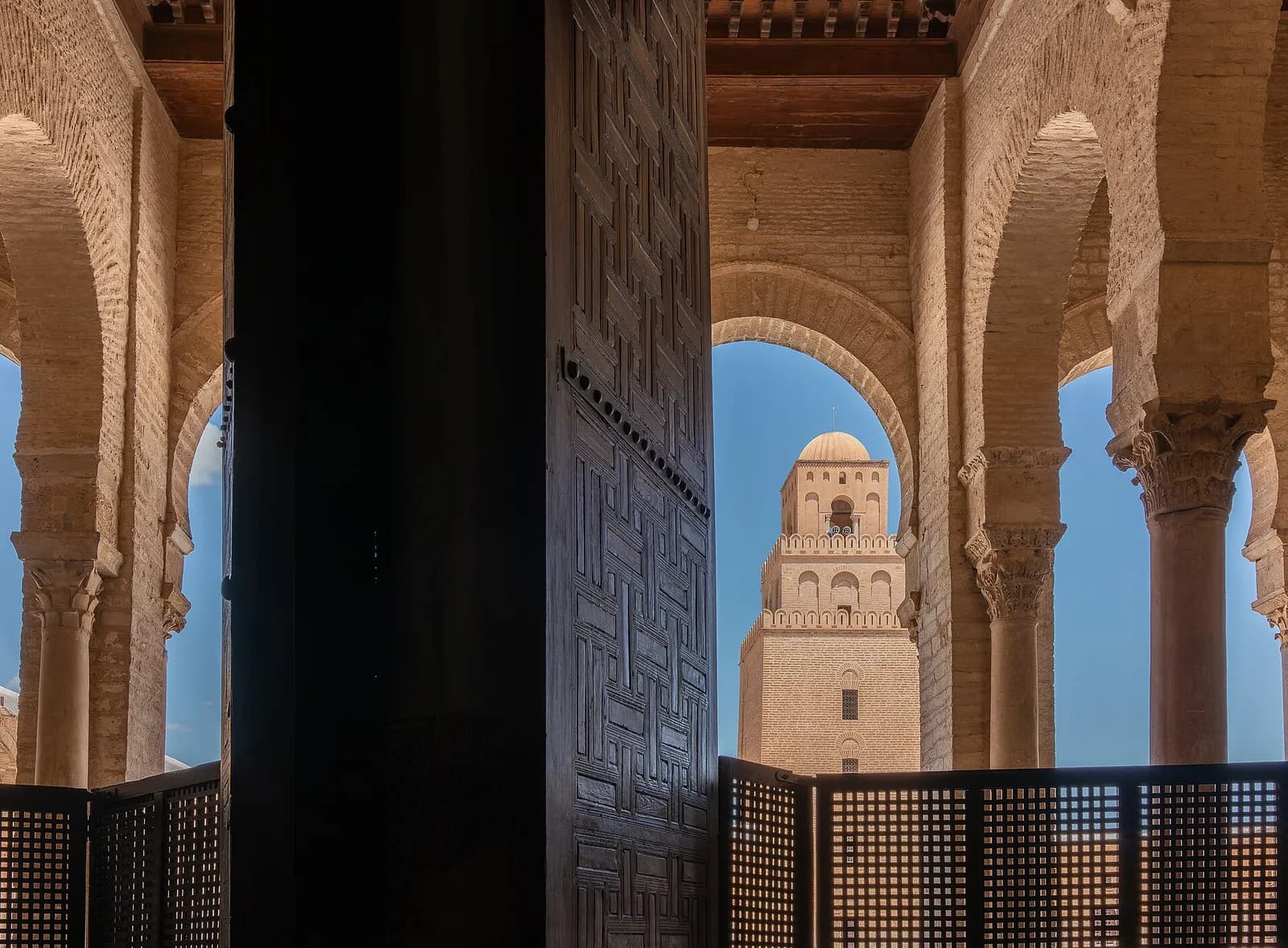
Founded around 670 under the Umayyads, Kairouan became a major centre of Sunni Islamic scholarship.
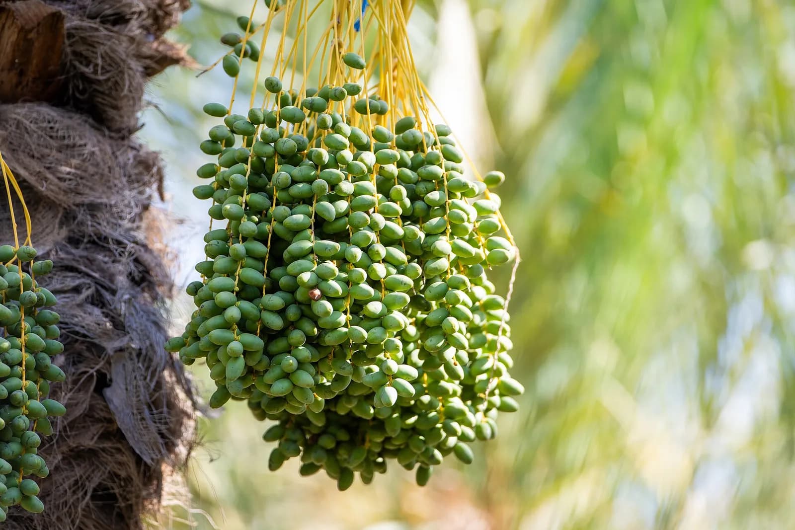
With hundreds of thousands of palm trees, Tozeur is a large oasis between Chott el Djerid and Chott el Gharsa.
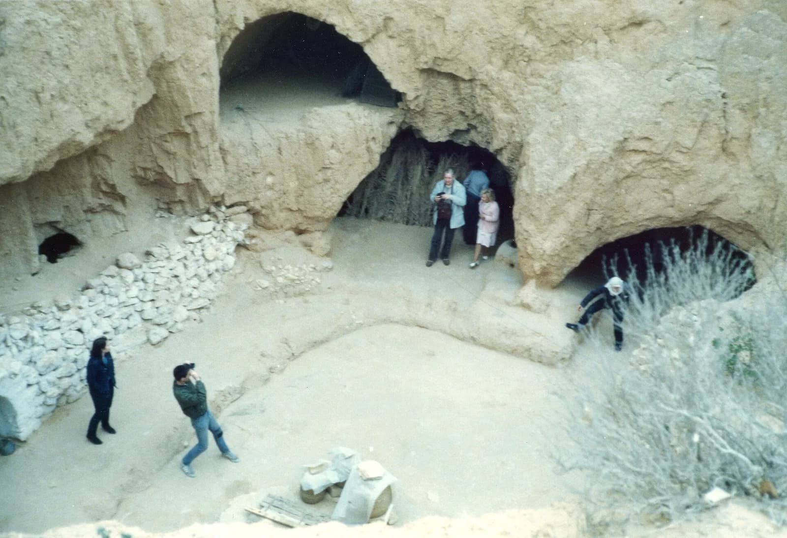
In Matmata, some Berber residents still live in traditional underground troglodyte homes.
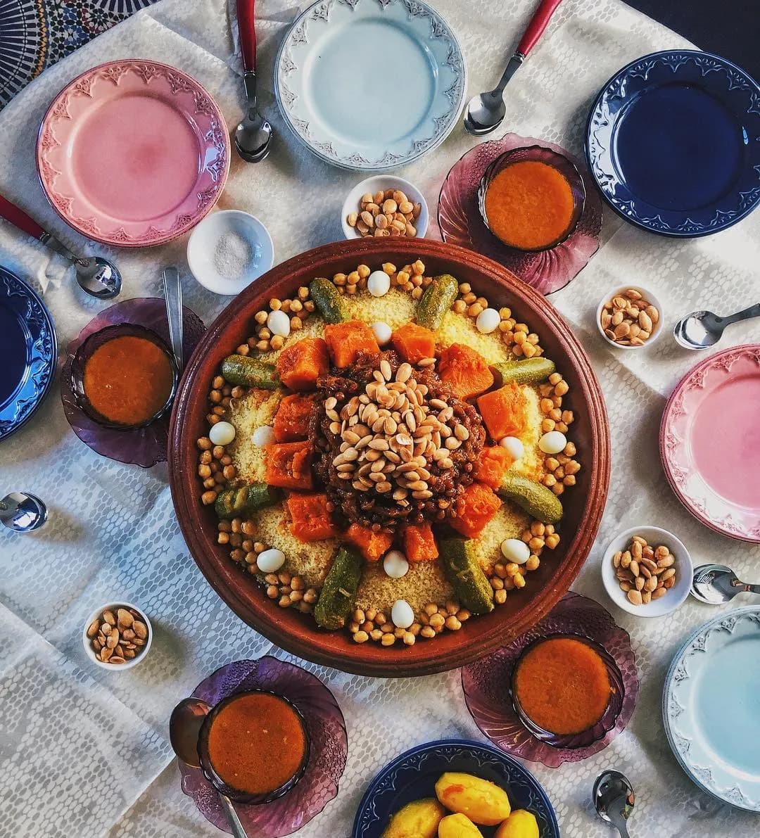
Couscous is a traditional North African dish of small steamed granules of rolled semolina that is often served with a stew spooned on top. Pearl millet, sorghum, bulgur, and other cereals are often cooked in much the same way in West Africa, and the resulting
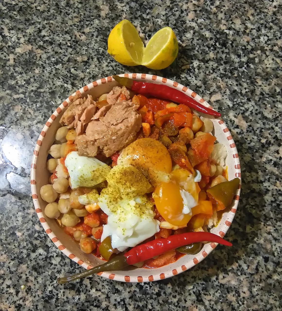
Lablabi or lablebi (لبلابي) is a traditional Tunisian dish based on chickpeas in a thin garlic- and cumin-flavored broth, served over small pieces of stale crusty bread. It is a staple comfort food in Tunisia and is also found in variations in Iraq and other p
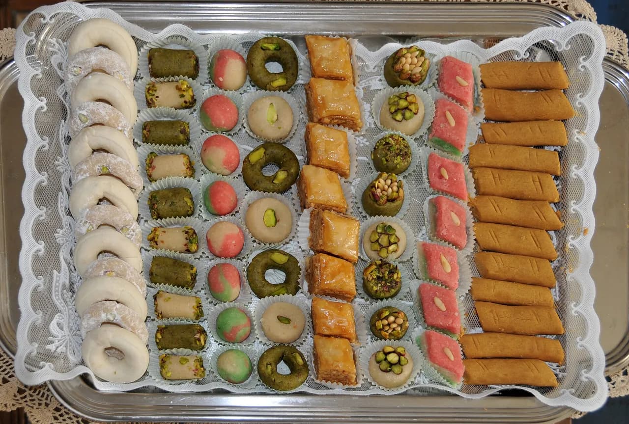
Un baklawa El Bey est une pâtisserie tunisienne à base d'amandes en poudre, de sucre et d'eau de rose. Elle est souvent composée de trois couleurs : le vert, le rouge et le blanc. (summary in French)
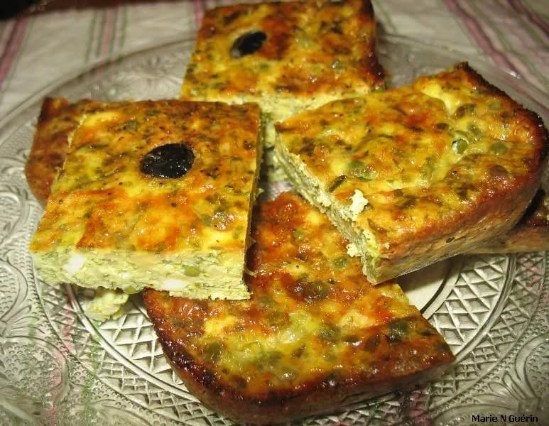
Le tajine tunisien est une préparation à base d'œufs. Son nom vient du fait qu'il est à l'origine cuit dans un tajine en terre cuite. (summary in French)
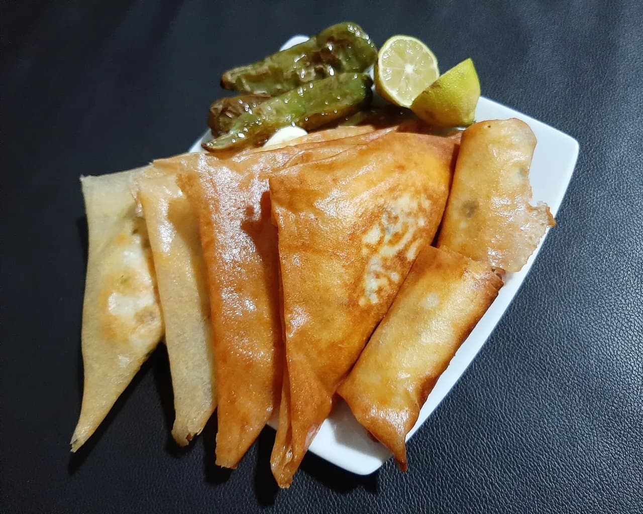
Brik or burek is the North African version of borek, a stuffed malsouka pastry which is commonly deep fried. The best-known version is the egg brik, a whole egg in a triangular pastry pocket with chopped onion, tuna, harissa and parsley. With a slightly differ
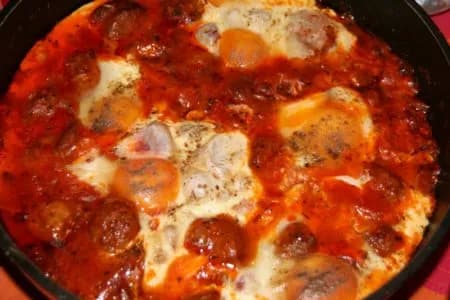
L'ojja est un plat tunisien à base de sauce tomate épicée et d'œufs, connu pour sa facilité de préparation. (summary in French)
Independence Day, 20 March (1956); Revolution and Youth Day, 14 January (2011) ; independence: 20 March 1956 (from France).
Fixed dates and moveable events, each with its source; moveable dates change every year and are to be checked on an official calendar.
The country’s highest point, Jebel ech Chambi, reaches 1,544 m.
12,348,573 inhabitants in 2025 on 163,610 km², about 75 per km².
Independence on 20 March 1956 (from France).
Real photographs: free images under a verified licence and Viafro images. Never a generated image. Credits in the footer.
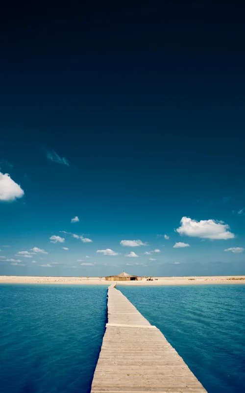
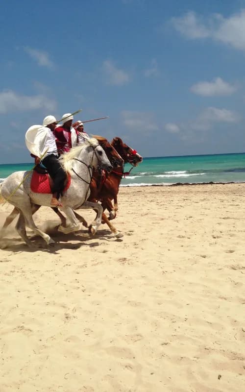
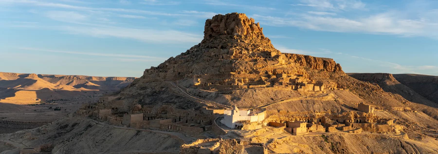
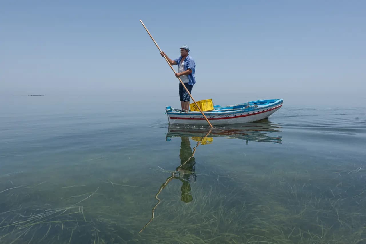
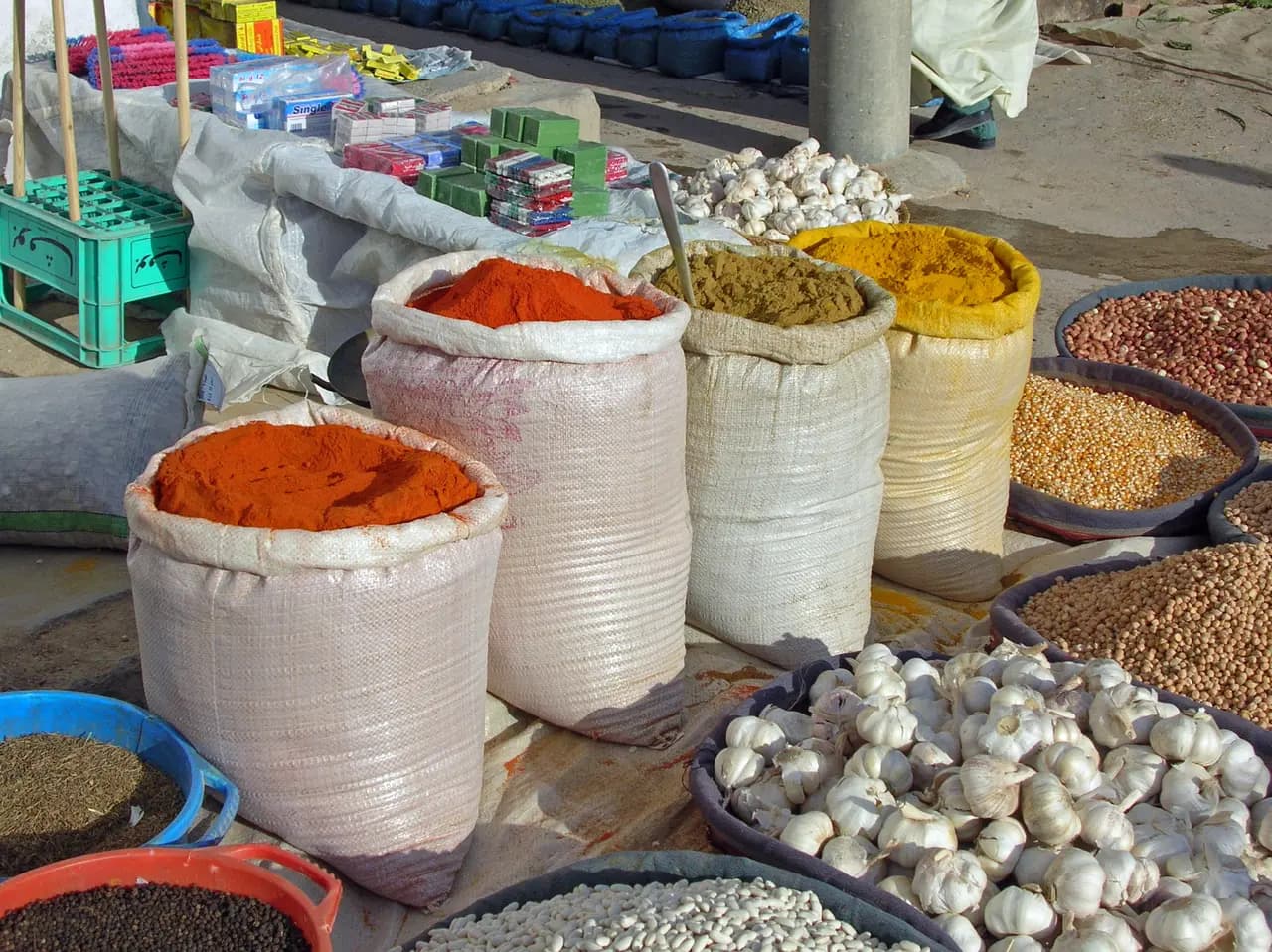
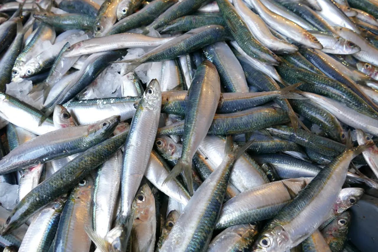
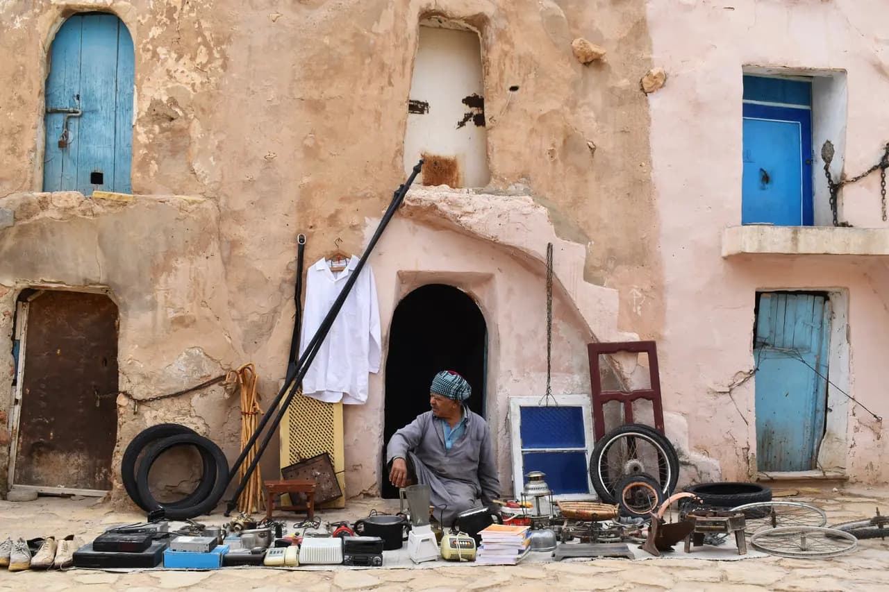
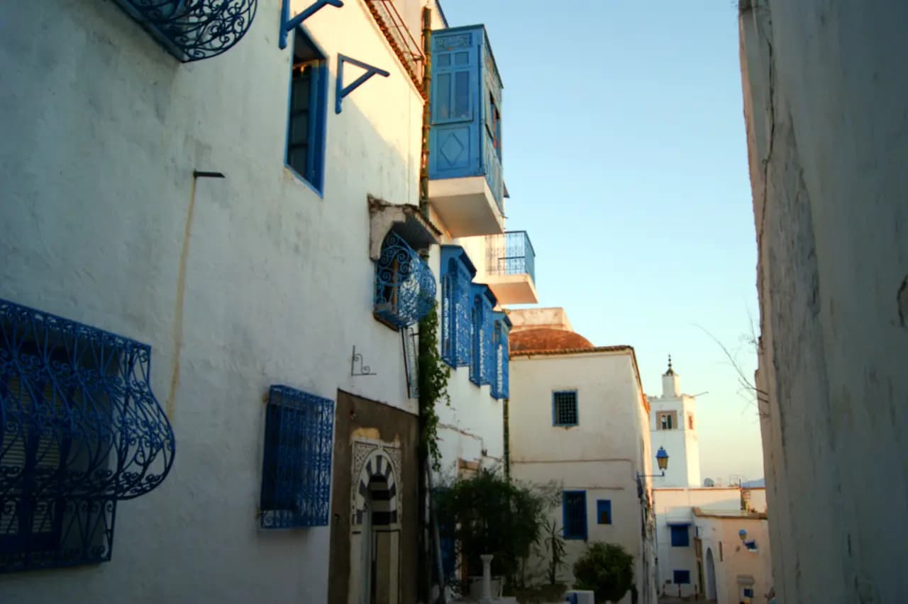
Share your trip with #viafro: the best images will join this gallery, with your credit.
Sourced data (World Bank). No investment advice.
World Bank data (World Development Indicators), consulted on 28 Oct 2026. Tourist arrivals are the latest year published.
Book your stay and take the right guidebook along: partner links, labelled as such, to current prices.
Affiliate link: Viafro earns a commission at no extra cost to you.The Viafro letter
A short letter, when there is something to say. One-click unsubscribe.
Information checked on 28 Oct 2026. Check the official source before you travel. Viafro gives no safety rating and publishes no price without a source.