Lesotho, the kingdom in the sky
An entire country above 1,400 metres, a pass to be climbed by 4x4, a 192-metre waterfall, herders in blankets and horses for every path: the notebook of a landlocked kingdom.
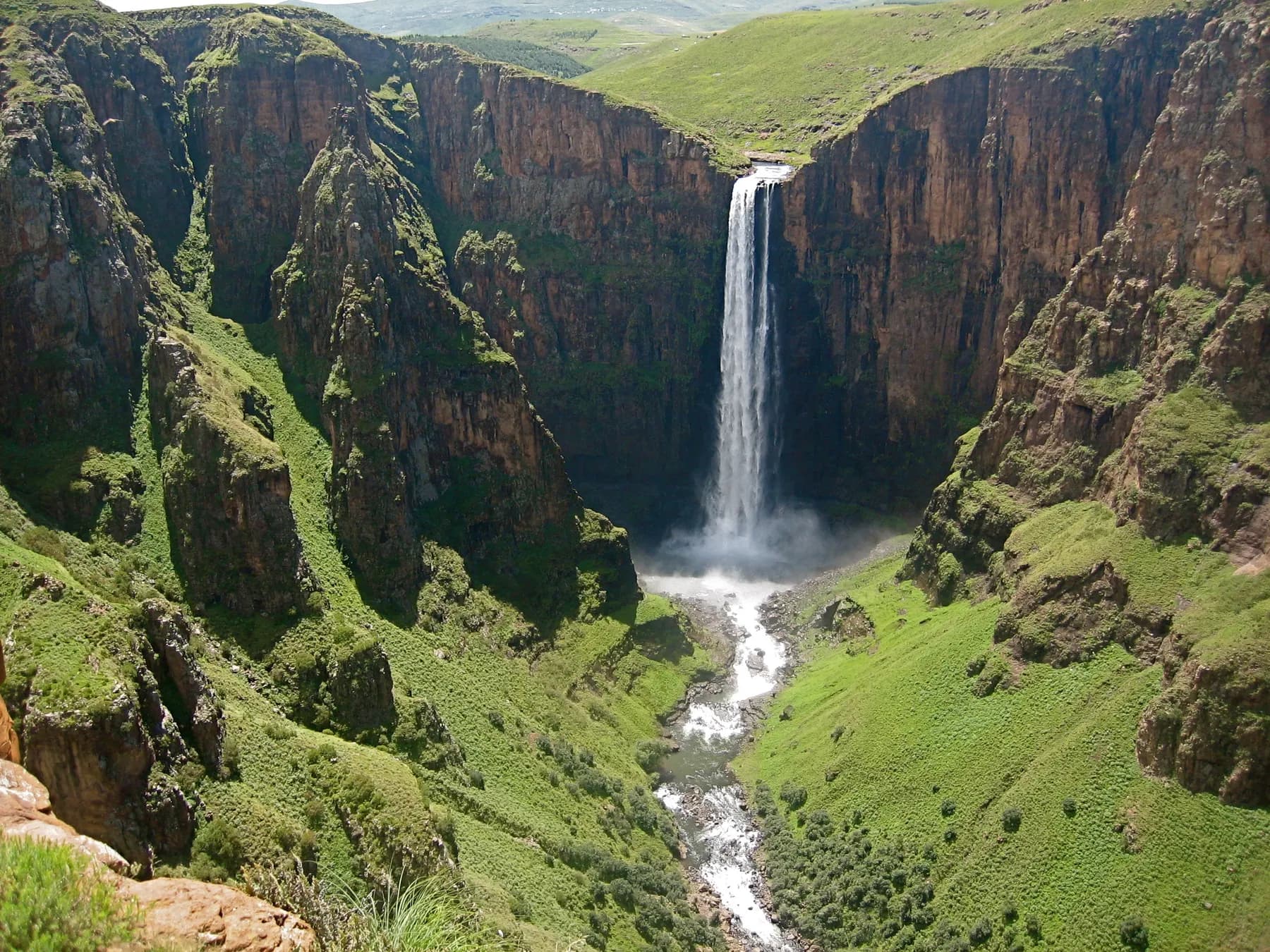
Lesotho begins with a bridge. You leave South Africa at Maseru Bridge, get your passport stamped, and the road climbs almost at once. It will not come down again: Lesotho is the only country in the world lying entirely above 1,000 metres, and its lowest point, at 1,400 metres, is the highest ‘lowest point’ on the planet. People here call it the kingdom in the sky, and it is not a brochure phrase.
It is a country of herders wrapped in wool blankets, of horses on ridge paths, of villages of round huts set on dizzying slopes, of snow in July and thunderstorms in January. This notebook crosses it from east to west: the Sani Pass, the Maletsunyane Falls, the valleys on horseback, the mountain where the kingdom was born, the dams that give Johannesburg its water, and the simple, warm table of the highlands.
A country above the clouds
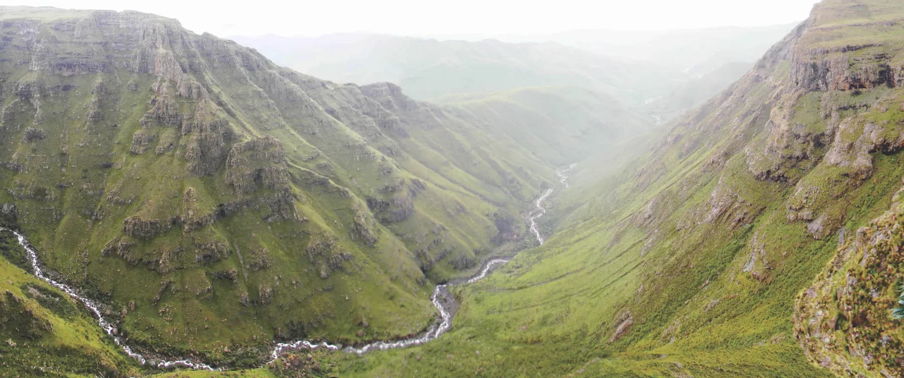
Lesotho is an enclave, entirely surrounded by South Africa, and the largest in the world of its kind. Its 30,000 square kilometres divide in two: to the west, the sandstone lowlands around Maseru, where most of the two million inhabitants live; to the east, the basalt highlands of the Maloti, rising to Thabana Ntlenyana, 3,482 metres, the highest peak in southern Africa.
The people are one: the Basotho, who speak Sesotho and make up over 99% of the population, which makes Lesotho one of the most homogeneous countries in the world. Their dress has become the symbol of the country: the wool blanket with geometric patterns, worn pinned at the shoulder by men and women alike, and the mokorotlo, the conical hat of woven straw that appears on the flag and whose shape is inspired by Mount Qiloane.
On the roads you pass fifteen-year-old herders in rubber boots and balaclavas, stick in hand, driving sheep and angora goats to the high pastures, and riders at a walk, blankets in the wind. There is no other way to get from one village to the next in the mountains: the road stops, the path continues.
The Sani Pass
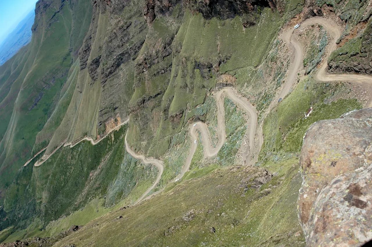
The most spectacular entry is from the east, out of KwaZulu-Natal. The Sani Pass track starts at 1,544 metres, near Underberg, and climbs 1,332 metres in tight hairpins between basalt cliffs to 2,876 metres. A 4x4 is required by the South African officials at the bottom; the Lesotho border is at the very top, and its post is one of the highest in the world.
The last ramp is rightly called the hairpins, and you climb it in first gear, door open onto the void. At the summit the plateau opens all at once: a steppe of yellow grass, stone huts, a wind that never stops, and a lodge whose bar claims the title of highest pub in Africa. You drink a tea or a beer there looking down on Natal, two kilometres below.
From Sani Top, Thabana Ntlenyana is climbed in a day, without technical difficulty but with lungs: it is a long walk over grassy ridges to a cairn, from which you look over the whole of southern Africa. The road goes on to Mokhotlong, ‘the place of the bald ibis’, the first Lesotho town on this side, then west across the Maloti passes.
Semonkong and the Maletsunyane Falls
Semonkong means ‘the place of smoke’, and the smoke is the spray of the Maletsunyane: a river that leaps off a basalt ledge and falls 192 metres in a single drop into a round gorge, with a roar the inhabitants attributed to the wailing of the drowned. It is one of the highest single-drop waterfalls in southern Africa, and you approach it on foot or on horseback from the village, in an hour.
You arrive from above, at the edge of the chasm, and that is where the boldest go down: the Semonkong lodge has set up the longest commercially operated abseil in the world here, 204 metres down the wall beside the falls, listed in the Guinness Book of Records. The others watch, lying on the rock, as the curtain of water breaks into droplets in the light.
Semonkong itself is a mountain town at 2,275 metres, founded in the 1880s by Basotho driven out by the Gun War, where people still ride in on horseback to do their shopping and donkeys wait outside the shops. In winter it snows; in the evenings, in the lodges, the wood fire is lit from September.
On horseback in the Maloti
The horse is to Lesotho what the pirogue is to the river: the natural means of transport. The country’s horses, called Basotho ponies, are small, sure-footed and patient; you ride them without being a rider, at a walk, on paths that skirt precipices, for two hours or five days. The villages of Malealea, south-west of Maseru, and Semonkong have made this a speciality, with guides and nights in the villages.
The treks lead to waterfalls, Ribaneng, Ketane, to rock shelters painted by the San centuries ago, antelopes and ochre figures, and to passes with legendary names, like the Gates of Paradise above Malealea, where the whole Makhaleng valley opens out. You sleep with families, in a stone hut with a thatched roof, you eat what the family eats, and in the evening you hear singing and the accordion of famo, the herders’ music.
In the far south-east, Sehlabathebe National Park, created in 1969, is the oldest in the country and has been part, since 2013, of the Maloti-Drakensberg World Heritage site: high grasslands, sandstone arches, mountain tarns and rock paintings, on the South African border. You go by 4x4 or on horseback, and you are often alone.
Thaba-Bosiu, the mountain where the kingdom was born
Lesotho has a birth certificate, and it is a mountain. Thaba-Bosiu, ‘the mountain of the night’, is a sandstone plateau of two square kilometres, at 1,804 metres, twenty-four kilometres east of Maseru. In 1824 Moshoeshoe, chief of a small clan, settled his people there to escape the wars ravaging the region. Legend says the mountain grows at night to discourage attackers; history says it was never taken.
From this rock, Moshoeshoe I gathered refugees of every origin, negotiated with the Zulu, the Boers and the British, welcomed in 1833 the French Protestant missionaries who founded Morija and gave Sesotho its written form, and in 1868 placed his country under British protection to avoid being swallowed by the settlers. He died in 1870; the kingdom he founded became independent in 1966, and the monarchy is still its keystone.
You climb Thaba-Bosiu on foot, in half an hour, with a guide: the ruins of the royal village, the tombs of the kings and, opposite, Mount Qiloane, the cone that gave the national hat its shape. At Morija, thirty-five kilometres south, the museum and archives tell this history, and you can still see the mission’s printing press, the oldest in the country.
The kingdom’s water: Katse and the passes
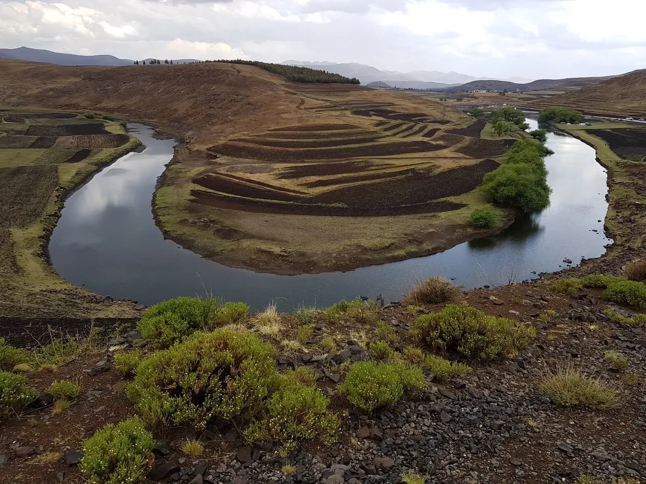
Lesotho has only one natural wealth, and it is water. The Highlands Water Project, carried out with South Africa since the 1980s, is Africa’s largest water transfer: dams and tunnels that send the rivers of the Maloti to the Vaal and the taps of Johannesburg, in exchange for royalties and electricity. The Katse Dam is its heart: a concrete arch 185 metres high, at 1,993 metres above sea level, the highest-sited dam in Africa.
The road to it, from Hlotse, crosses the Mafika-Lisiu pass at over 3,000 metres, and is one of the finest in the country: hairpins above the valleys, hanging villages, then the reservoir winding between the mountains for tens of kilometres. The dam can be visited, down into its galleries.
Further north, near the border, Afriski is one of only two ski resorts in southern Africa: a run at 3,050 metres, below the Mahlasela pass, under snow from June to August, with cannons to supplement nature. Skiing in Africa, among herders and sheep, is an experience few travellers imagine before they have seen Lesotho.
At the table, and the right time to come
The cooking of the highlands is that of herders and fields: papa, a firm maize porridge eaten with the fingers, moroho, sautéed greens, nama, slow-cooked mutton or beef, and makoenya, fried dough cakes sold in markets and at the roadside. You drink motoho, a slightly sour fermented sorghum drink, and joala, the villages’ sorghum beer, served in plastic buckets at celebrations.
You arrive via Maseru, whose airport is linked to Johannesburg, or by road from Bloemfontein, Ladybrand or Natal; border posts are many and the crossing simple with a passport. A 4x4 is essential for Sani and the eastern tracks; the main roads, Maseru-Katse and Maseru-Semonkong, are tarred.
Summer, from October to April, is green and stormy: violent hailstorms break in the afternoon, and rivers rise fast. Winter, from May to September, is dry, luminous and cold, with snow at altitude and nights well below freezing. Both seasons are worth the journey, for opposite reasons. Our Lesotho guide carries the entry rules, health and current official advice.
Sources · 12
Live this journey.
Guided tours, excursions and tickets from our partner, in a new tab. Prices and availability are theirs.
The journal
Keep reading.
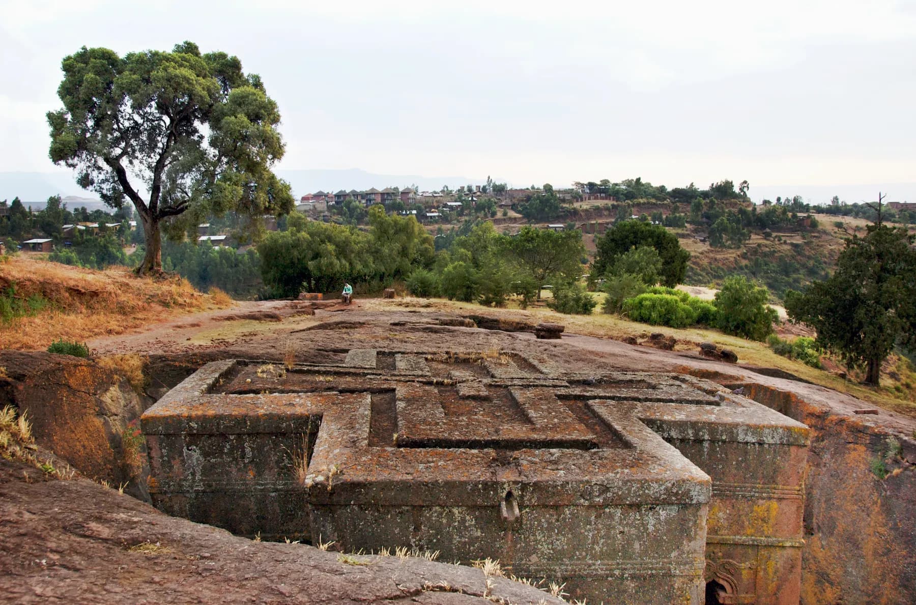
Lalibela, the town carved towards the sky
Eleven churches cut into living rock, a king who wanted his own Jerusalem, pilgrims in white at dawn: a notebook at 2,500 metres.
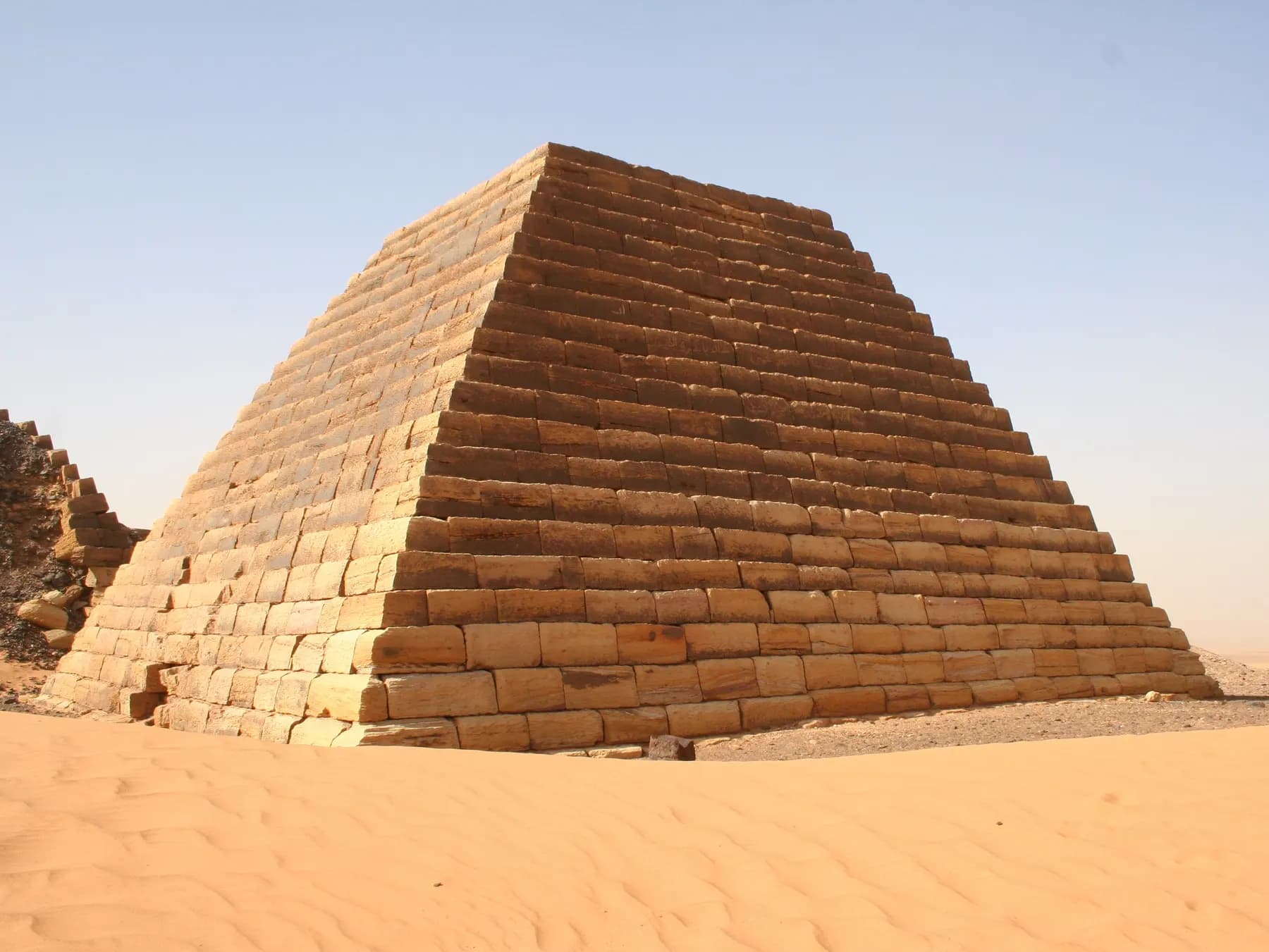
Meroë, the pyramids of the other Nile
Two hundred pyramids in the Sudanese sand, a kingdom that stood up to Rome, warrior queens and a treasure hunter: the Kush notebook.
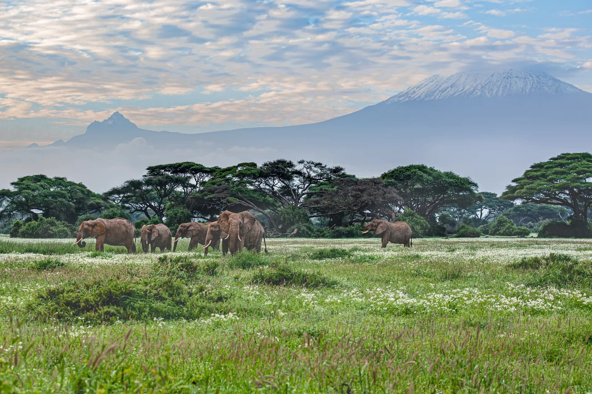
Kilimanjaro, five climates up to the snow
The roof of Africa is climbed on foot, without a rope, in a week: the story of an ascent, from the Chagga banana groves to the last glaciers.