The Ourika Valley and the Setti Fatma waterfalls
Around 30 km from Marrakesh, the Ourika Valley follows its river into the High Atlas. Setti Fatma, the last village on the paved road, is the start of the hike up the mountain stream to the waterfalls.
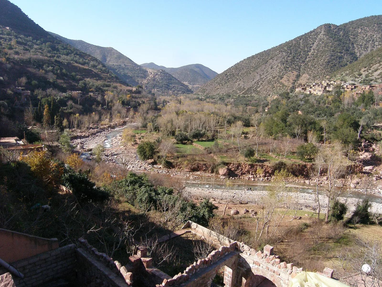
Key facts
Before you go.
- Starting point
- Setti Fatma, at the end of the valley roadOurika Valley (Wikipedia)
Good to know
Three things to remember.
The weekly souk is held on Mondays in Tnine-de-l’Ourika.
Ourika Valley (Wikipedia)Without a car: ALSA buses L25 or L40 to Ourika, then about 45 minutes by taxi to Setti Fatma.
Ourika Valley (Wikivoyage)The valley has women’s cooperatives producing argan oil.
Ourika Valley (Wikivoyage)
Plan the trip
Our recommended partners
One link per need, chosen for reliability. Prices and availability are the partner’s, in a new tab.
Keep exploring
Morocco
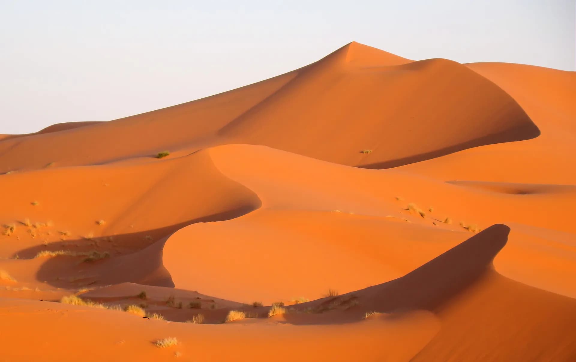
A night in the Erg Chebbi desert
Near Merzouga, the dunes of Erg Chebbi rise up to 150 metres above the hamada and stretch for about 28 km from north to south.
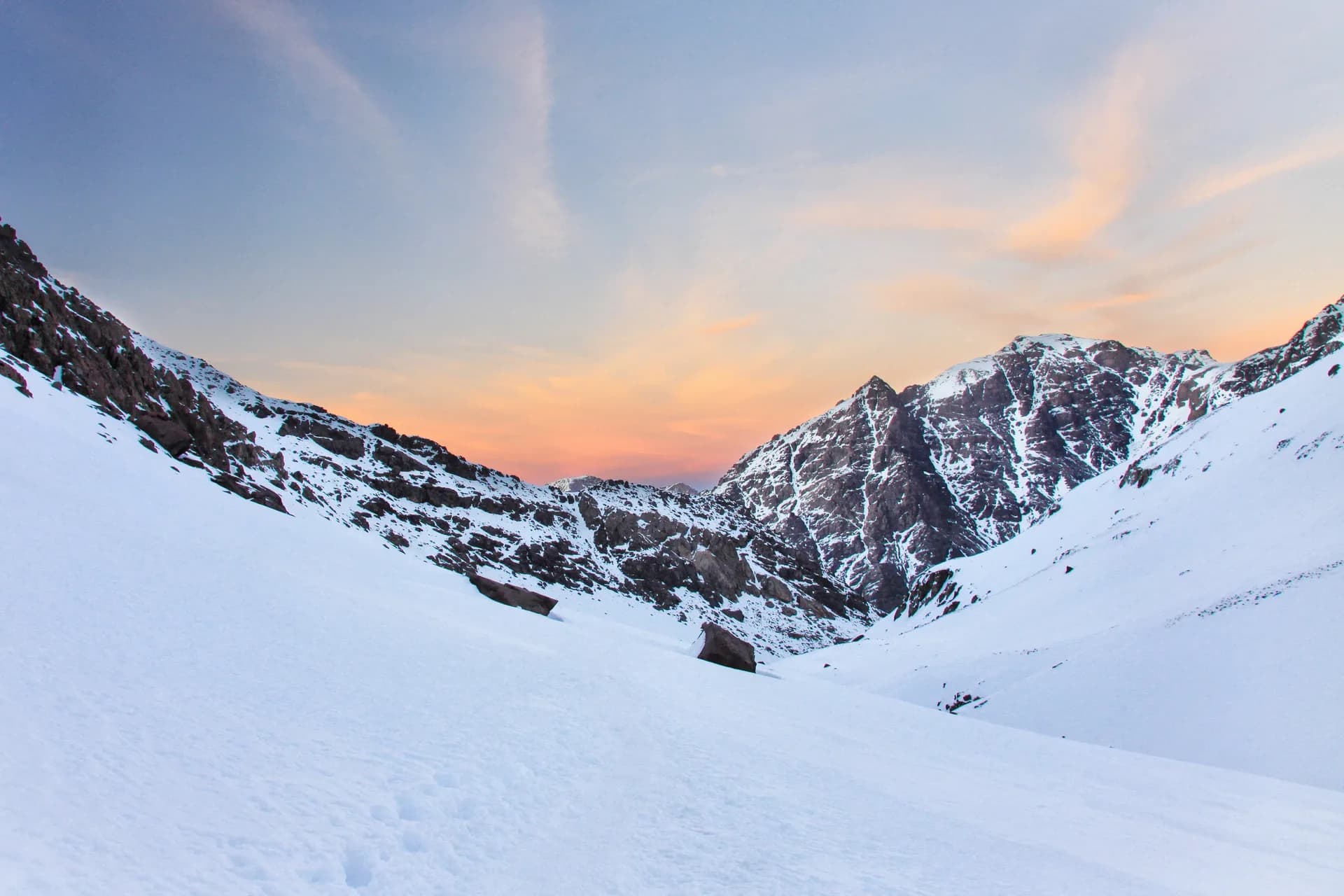
Climbing Toubkal from Imlil
At 4,167 m, Toubkal is the highest peak in North Africa, 63 km south of Marrakesh.
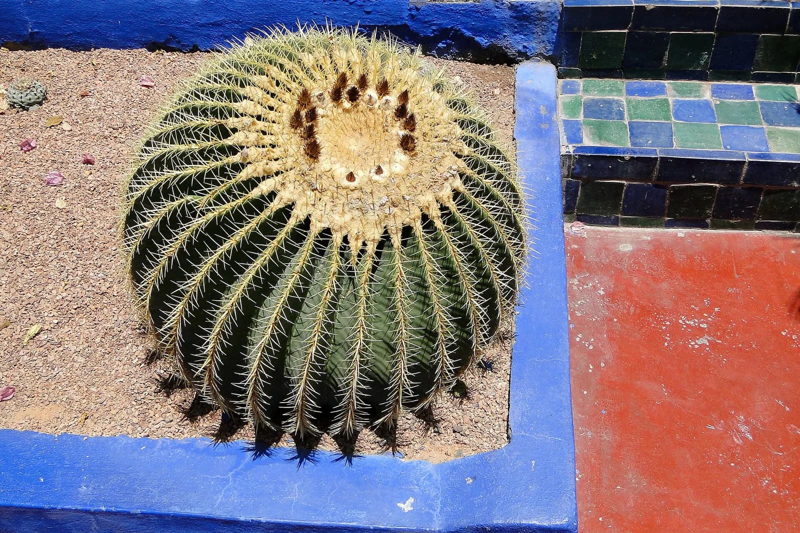
The Jardin Majorelle
The painter Jacques Majorelle began planting this Marrakech garden with species from all over the world in 1922.
Sources · 3 pages consulted, with the exact sentence used
- Ourika Valley (Wikipedia)
Ourika Valley is a valley in the Moroccan High Atlas along the Ourika River. It is located around 30 km from Marrakesh […] Setti-Fatma is the last small town (or douar) which is accessible by the paved route. It is the departure point for many excursions to the nearby mountains. The most prized and most easy hike consists of mounting the length of a mountain torrent in order to discover the cascades. […] It is however the center of the weekly traditional market (or souk), taking place every Monday.
- Ourika Valley (Wikivoyage)
Situated in the foothills of the High Atlas, it contains a number of Berber villages, female co-operatives manufacturing Argan oil and a set of waterfalls […] you can take the L25 and L40 ALSA buses to Ourika (7.5 dirham) and hire a taxi the remaining 45 minute drive to Setti Fatma.
- Setti-Fatma Waterfalls (Wikidata Q134824510)
coordinate location: 31.22069, -7.66956
Opening hours, prices and access conditions change: check them with the official source before you go. Viafro publishes no price without a source and a date.