Climbing Toubkal from Imlil
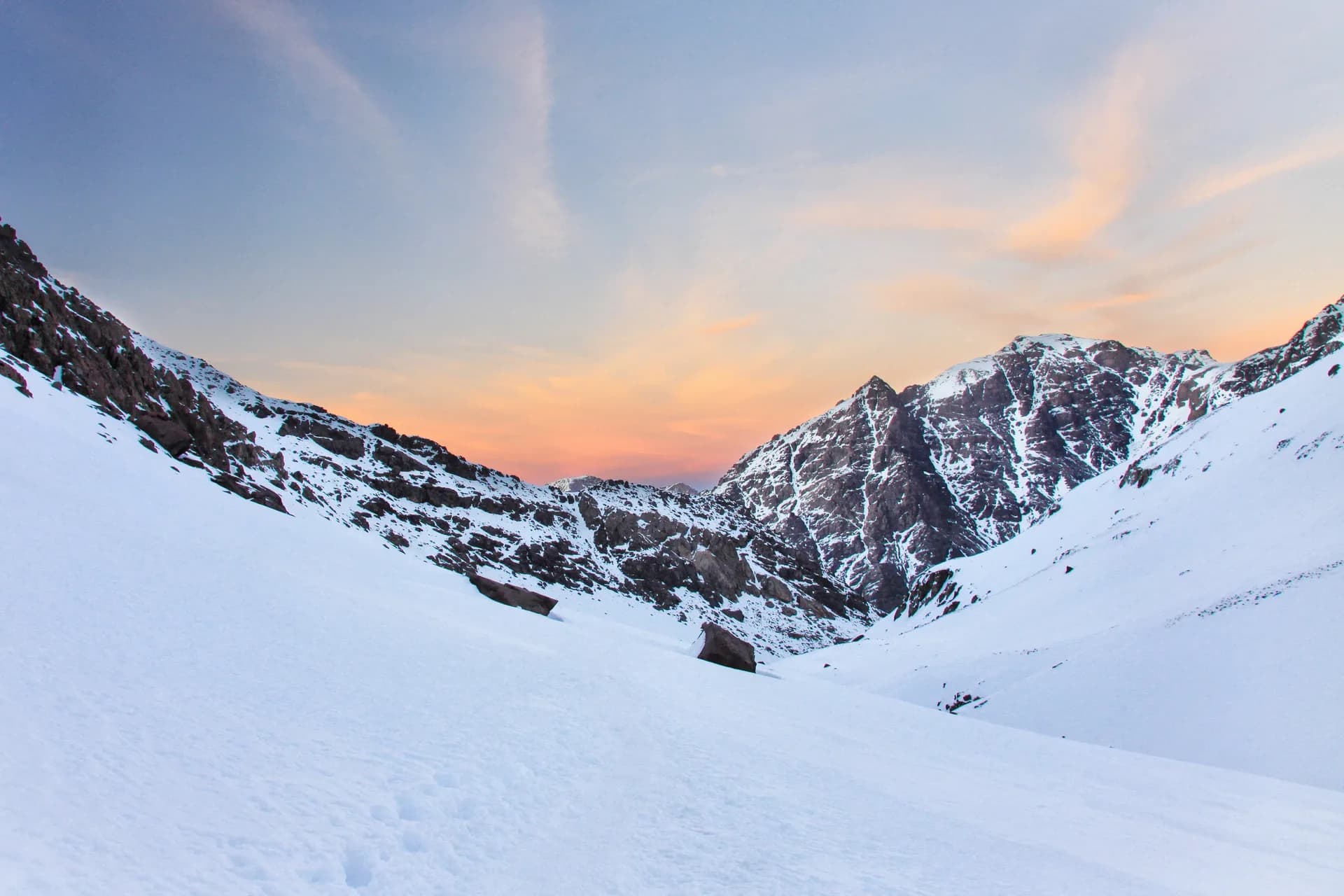
At 4,167 m, Toubkal is the highest peak in North Africa, 63 km south of Marrakesh. The most common route starts from the village of Imlil and takes two days, with a night in a mountain refuge.
Key facts
Before you go.
- Starting point
- Imlil, in the High AtlasToubkal (Wikipedia)
- GPS coordinates
- 31.05963, -7.91513Toubkal (Wikipedia)
- Fitness level
- Demanding: a non-technical route that requires good physical fitness because of the altitudeToubkal (Wikipedia)
- Duration
- Two days, with a night at the refuges at 3,207 mToubkal (Wikipedia)
- Best season
- From May the ascent is non-technical; in February–March crampons are necessaryToubkal (Wikipedia)
Good to know
Three things to remember.
Since 2018 the Toubkal ascent requires a licensed mountain guide, who can be arranged in Imlil.
Imlil (Wikivoyage)Even in summer, freezing conditions are possible above 3,500 m: bring windproof clothing.
Toubkal (Wikipedia)Information about the state of the route is available at Marrakesh tourist offices or in Imlil.
Toubkal (Wikipedia)
Plan the trip
Our recommended partners
One link per need, chosen for reliability. Prices and availability are the partner’s, in a new tab.
Keep exploring
Morocco
A night in the Erg Chebbi desert
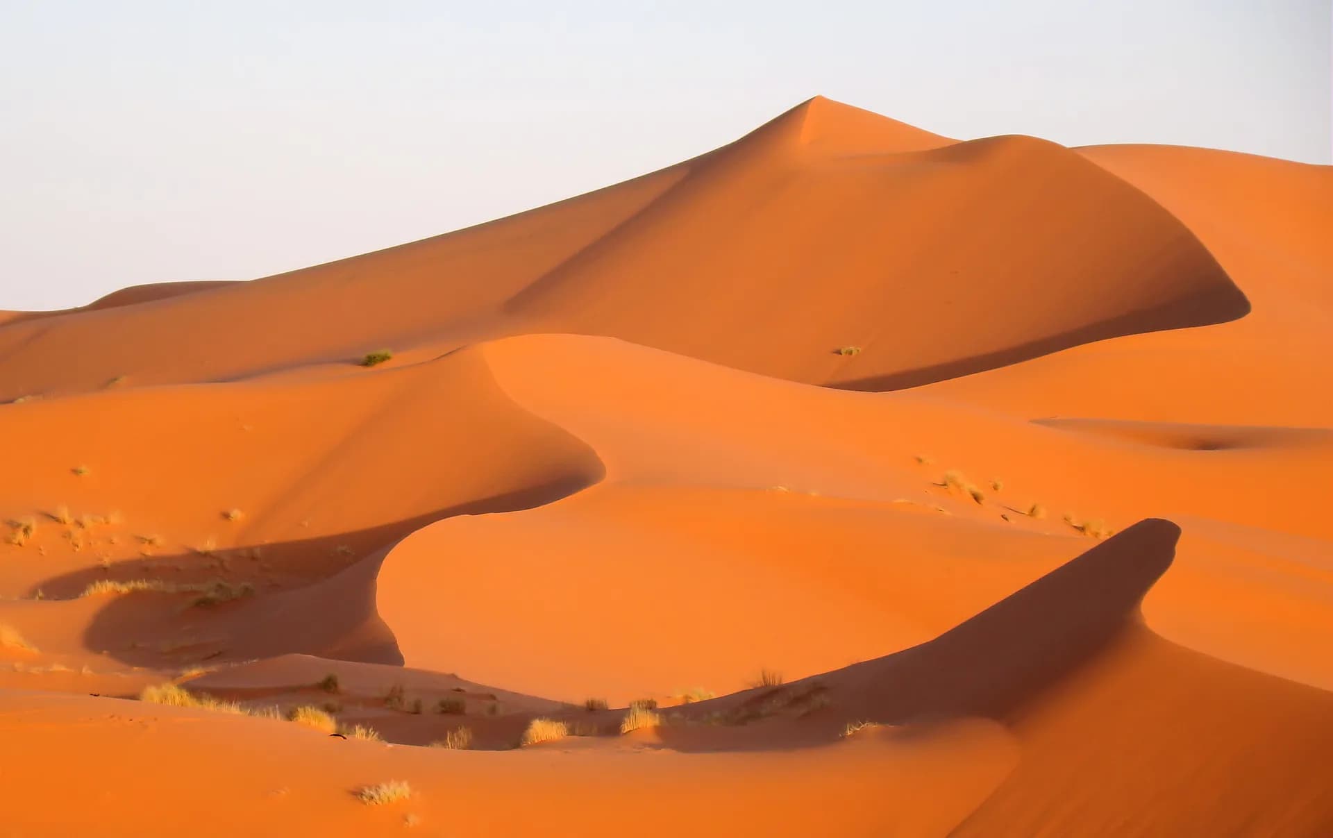
Near Merzouga, the dunes of Erg Chebbi rise up to 150 metres above the hamada and stretch for about 28 km from north to south.
The Jardin Majorelle
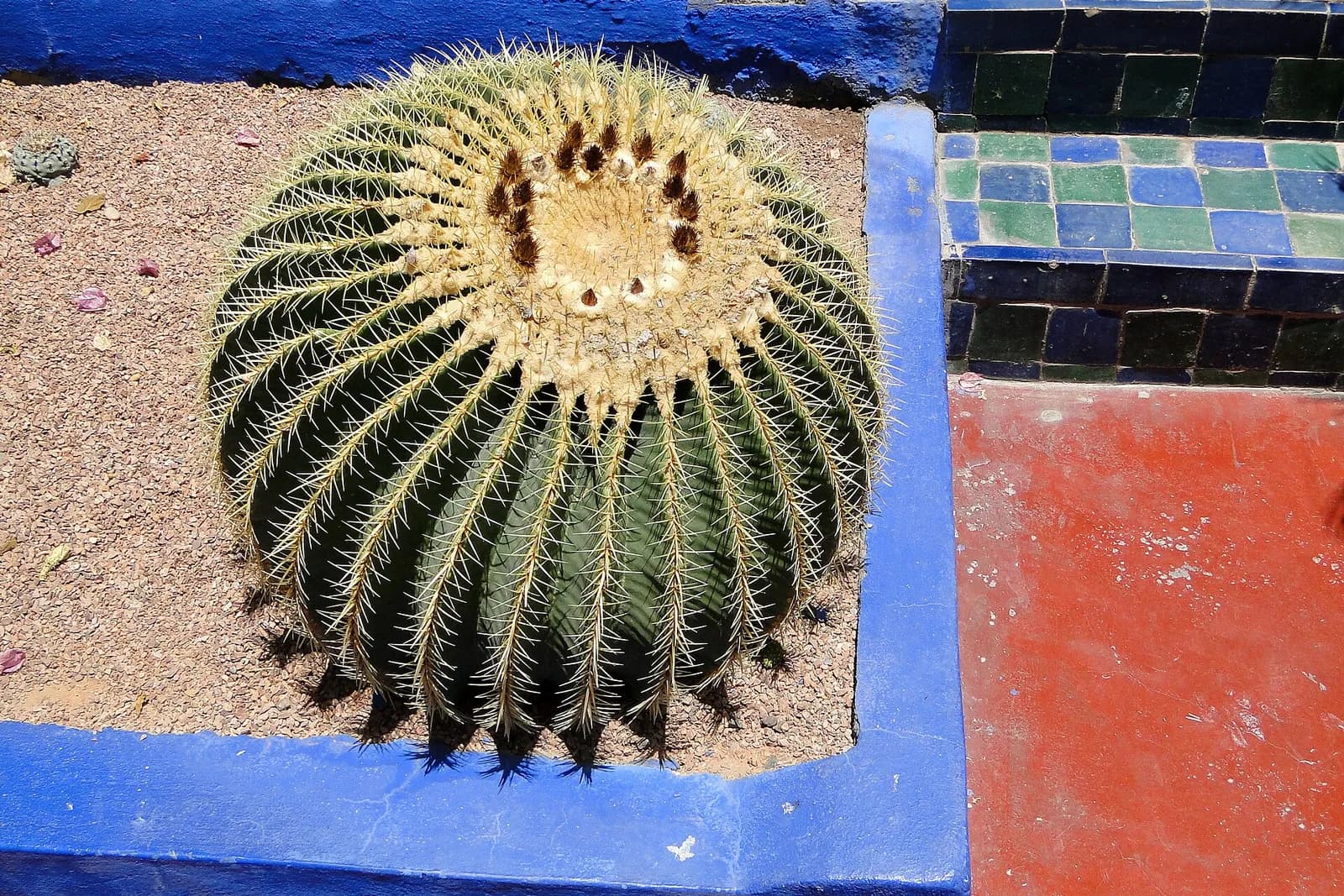
The painter Jacques Majorelle began planting this Marrakech garden with species from all over the world in 1922.
The ksar of Aït-Ben-Haddou
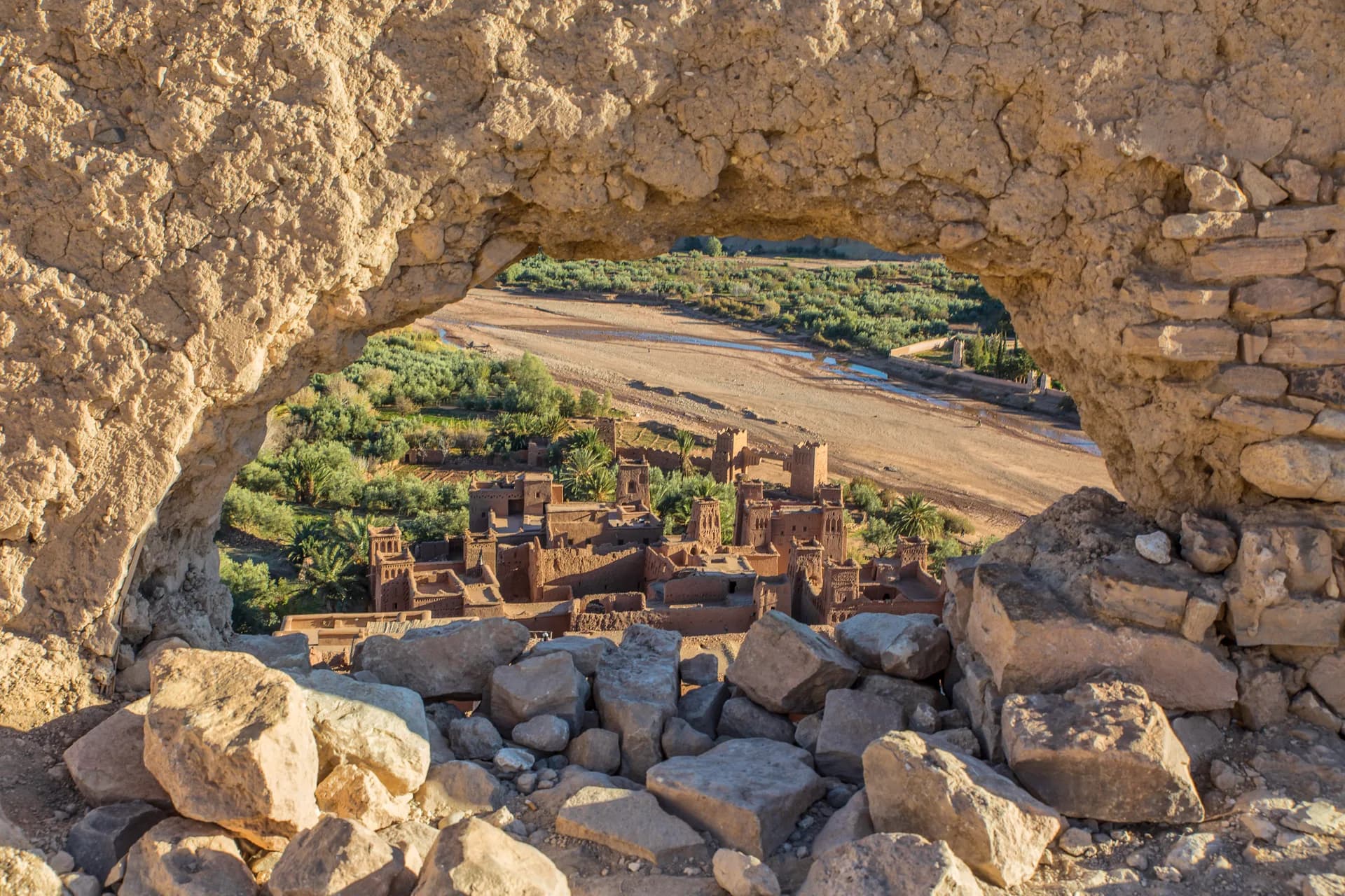
In the province of Ouarzazate, this ksar packs its earthen houses behind walls reinforced by corner towers.
Sources · 2 pages consulted, with the exact sentence used
- Toubkal (Wikipedia)
At 4,167 m (13,671 ft), it is the highest peak in Morocco, the Atlas Mountains, North Africa and the Arab world. Located 63 km (39 mi) south of the city of Marrakesh, and visible from it. The most common route to reach the summit of Toubkal starts from the village of Imlil in the High Atlas. The ascent typically takes two days and includes an overnight stay at a mountain refuge. The route is considered non-technical but requires good physical fitness due to the altitude. […] two stone-built refuges (Refuge du Toubkal and Refuge Les Mouflons) that are often used as base camp 3,207 m (10,522 ft). […] freezing conditions are possible over 3,500m. […] Information about the state of the route can be obtained at Marrakesh tourist offices or at Imlil. […] The ascent during the summer (from May) is non-technical yet moderately difficult […] The ascent during the end of the winter and spring (February/March) is more difficult; crampons are necessary.
- Imlil (Wikivoyage)
Since 2018, hikers ascending Mount Toubkal are required to be accompanied by a licensed mountain guide. Local Guides, equipment rental, and mule support can be arranged in Imlil before departure.
Opening hours, prices and access conditions change: check them with the official source before you go. Viafro publishes no price without a source and a date.