Madagascar, the RN7
From the capital to the south-west coast, National Road 7 crosses the highlands, the forests of Ranomafana and the canyons of Isalo. The road’s story, stage by stage, from the sources.
The RN7 leaves Antananarivo and runs down to Toliara on the south-west coast, at kilometre 923 on its last marker. It is one of the country’s most important roads, relatively well maintained, and links most of the towns of the central highlands.
Many travellers rent a car and work their way down over a few days; you can also catch a taxi-brousse from any of the major towns on the road. Every stage links to its activity sheet, where each fact cites its source.
Antananarivo and the hill of Ambohimanga
Before heading south, the royal hill of Ambohimanga, about 24 km north-east of the capital, is the best-preserved monument of the precolonial Merina Kingdom, a World Heritage Site since 2001.
The highlands, to Fianarantsoa
The road passes Ambatolampy at kilometre 69, then Antsirabe at kilometre 170, and Ambositra. Fianarantsoa comes at kilometre 412: allow about 9 hours from the capital, depending on Tana’s traffic jams.
Fianarantsoa is also where the FCE train leaves for Manakara, on Tuesdays and Saturdays at 7 a.m., a slow journey of 12 to 24 hours.
The Ranomafana forest
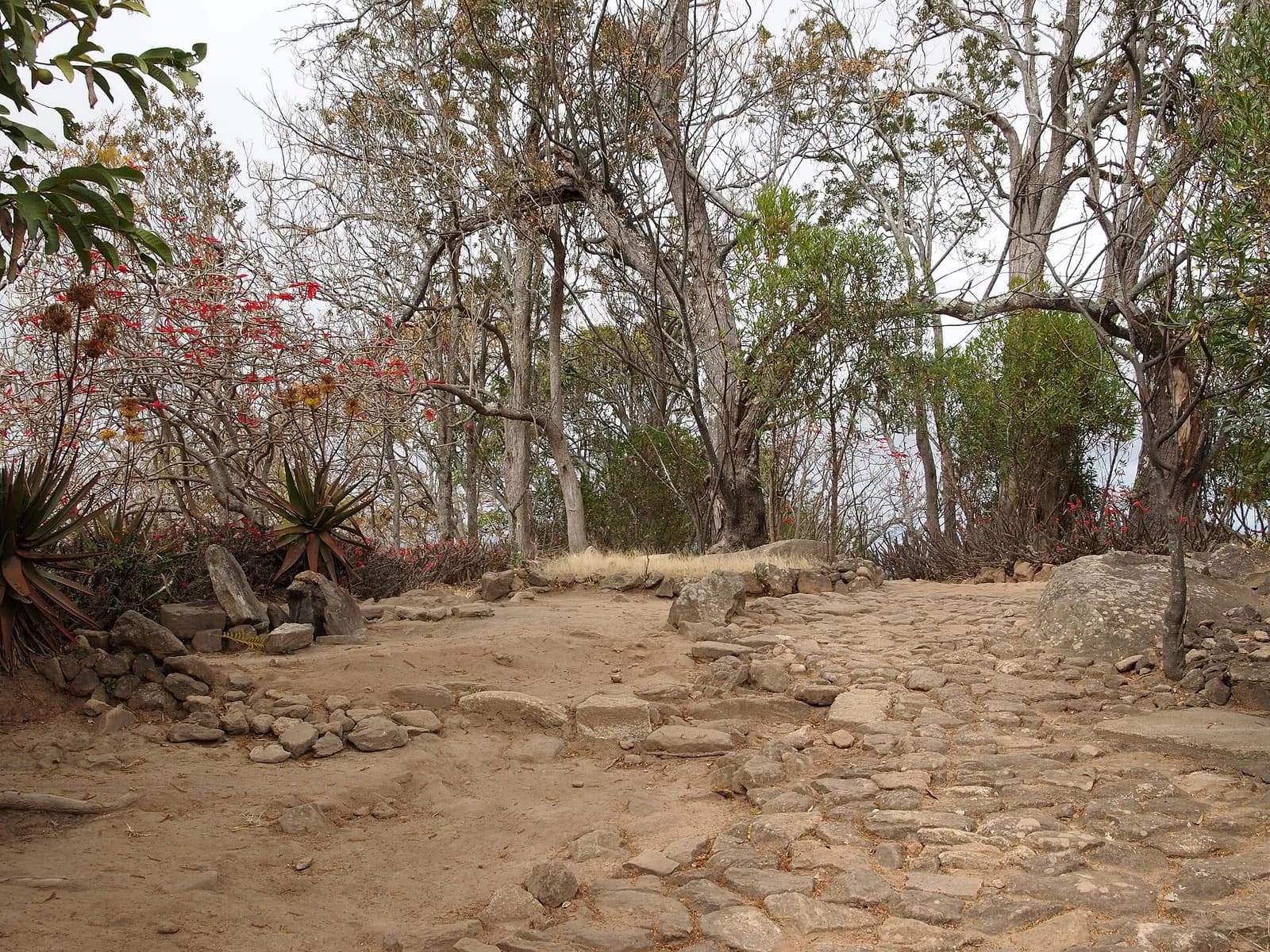
Two hours by taxi-brousse from Fianarantsoa, Ranomafana park protects over 41,600 hectares of tropical rainforest, created in 1991 after the discovery of the golden bamboo lemur. Its name, “rano mafana”, means “hot water”.
Ambalavao and the Anja reserve
At kilometre 462, Ambalavao holds Madagascar’s largest zebu market, on Wednesday and Thursday mornings. 13 km to the south, Anja Community Reserve is home to about 300 ring-tailed lemurs, used to visitors.
Ranohira and the canyons of Isalo
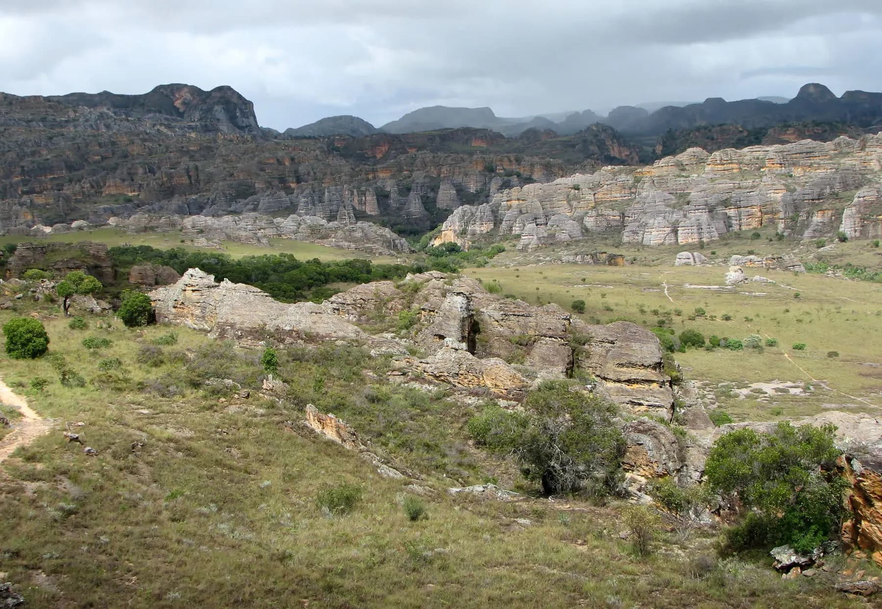
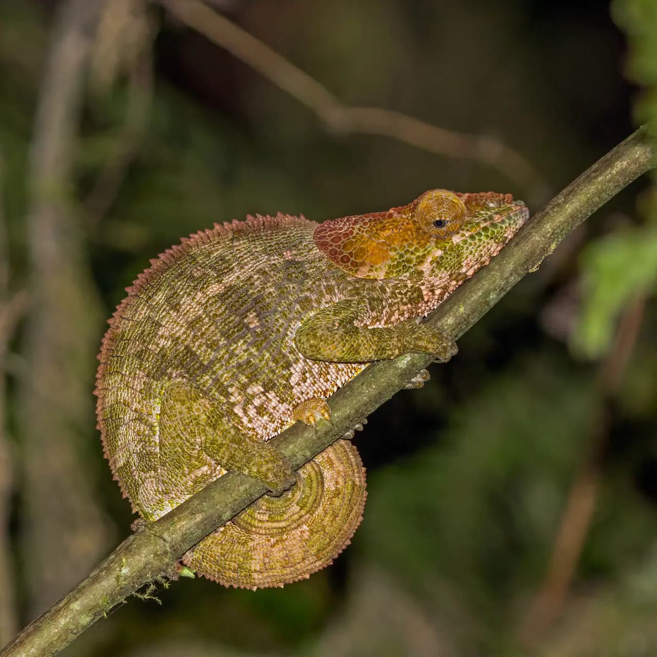
Ranohira, at kilometre 697, is the gateway to Isalo park, where wind and water have carved the sandstone into canyons up to 200 m deep. A local guide is required; guides and porters are found in the village.
On to Toliara
After Ilakaka and Sakaraha, the road reaches Toliara, its terminus on the south-west coast. Handicrafts sold in town come from Ambositra and Fianarantsoa: better to buy them on the way.
Sources · 11
Live this journey.
The flight, a hotel and an activity of the route from our partners, in a new tab. Prices and availability are theirs.
Affiliate link: Viafro earns a commission at no extra cost to you.The journal
Keep reading.
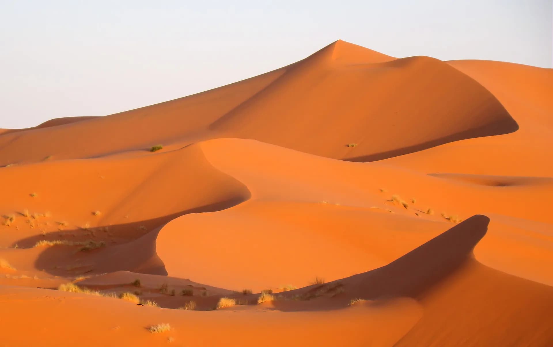
Morocco in 10 days: Marrakech, the desert, Fez
A day-by-day route from Jemaa el-Fna square to the dunes of Erg Chebbi and the Fez medina, with an activity sheet and its sources for every stage.
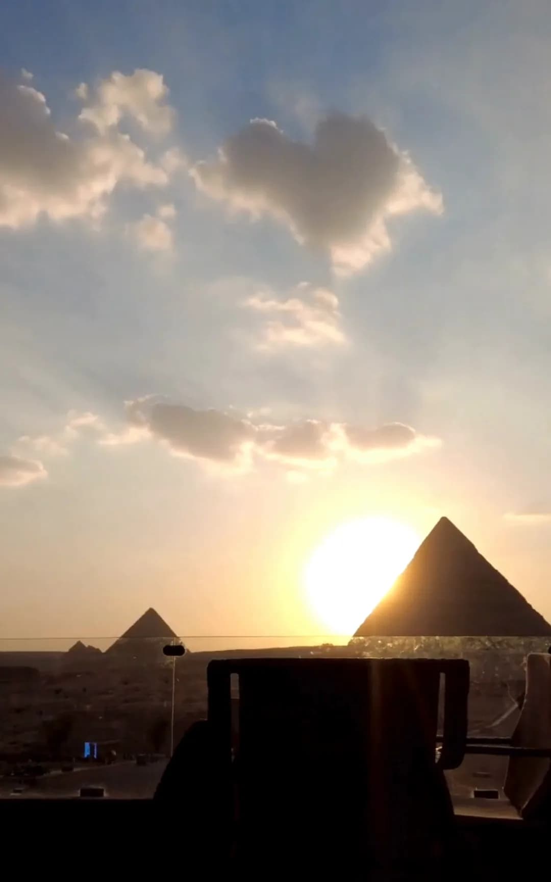
Egypt in 7 days: Cairo, Luxor, Aswan
A day-by-day route from the pyramids of Giza to the temples of Abu Simbel, with an activity sheet, official opening hours and prices for every stage.
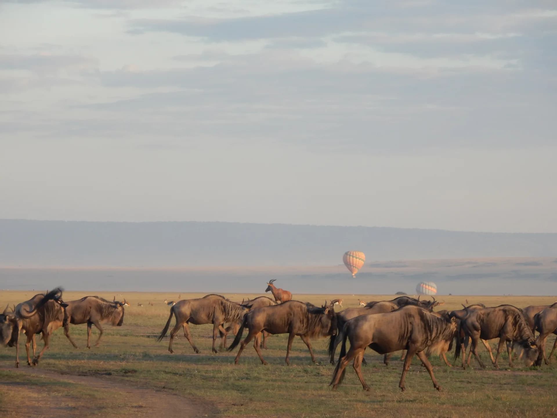
Kenya in 10 days: the Maasai Mara, then the coast
A day-by-day route from Nairobi National Park to the plains of the Maasai Mara, then Mombasa and Diani Beach, with an activity sheet and its sources for every stage.