The Blyde River Canyon and the Panorama Route
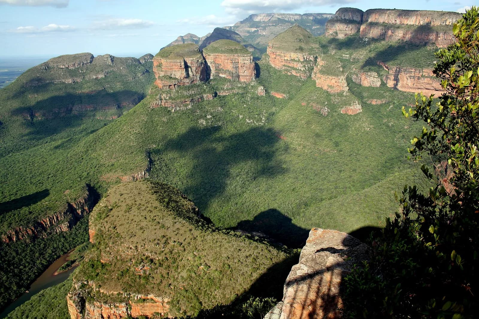
26 km long, in Mpumalanga, the Blyde River Canyon is the third largest canyon on Earth, and a “green canyon” covered in subtropical vegetation. It passes the Three Rondavels and is part of the Panorama Route.
Key facts
Before you go.
- Starting point
- Graskop, start of the Panorama Route (R532 and R534 roads)Blyde River Canyon (Wikipedia)
- GPS coordinates
- -24.56389, 30.80750Blyde River Canyon (Wikivoyage)
Good to know
Three things to remember.
Driving between the sights is free, but most viewpoints charge an entrance fee.
Blyde River Canyon (Wikivoyage)The canyon is easy to reach from Kruger National Park, Graskop, Sabie and Mbombela.
Blyde River Canyon (Wikivoyage)Along the route: God’s Window, the Pinnacle and Bourke’s Luck Potholes.
Blyde River Canyon (Wikipedia)
Plan the trip
Our recommended partners
One link per need, chosen for reliability. Prices and availability are the partner’s, in a new tab.
Keep exploring
South Africa
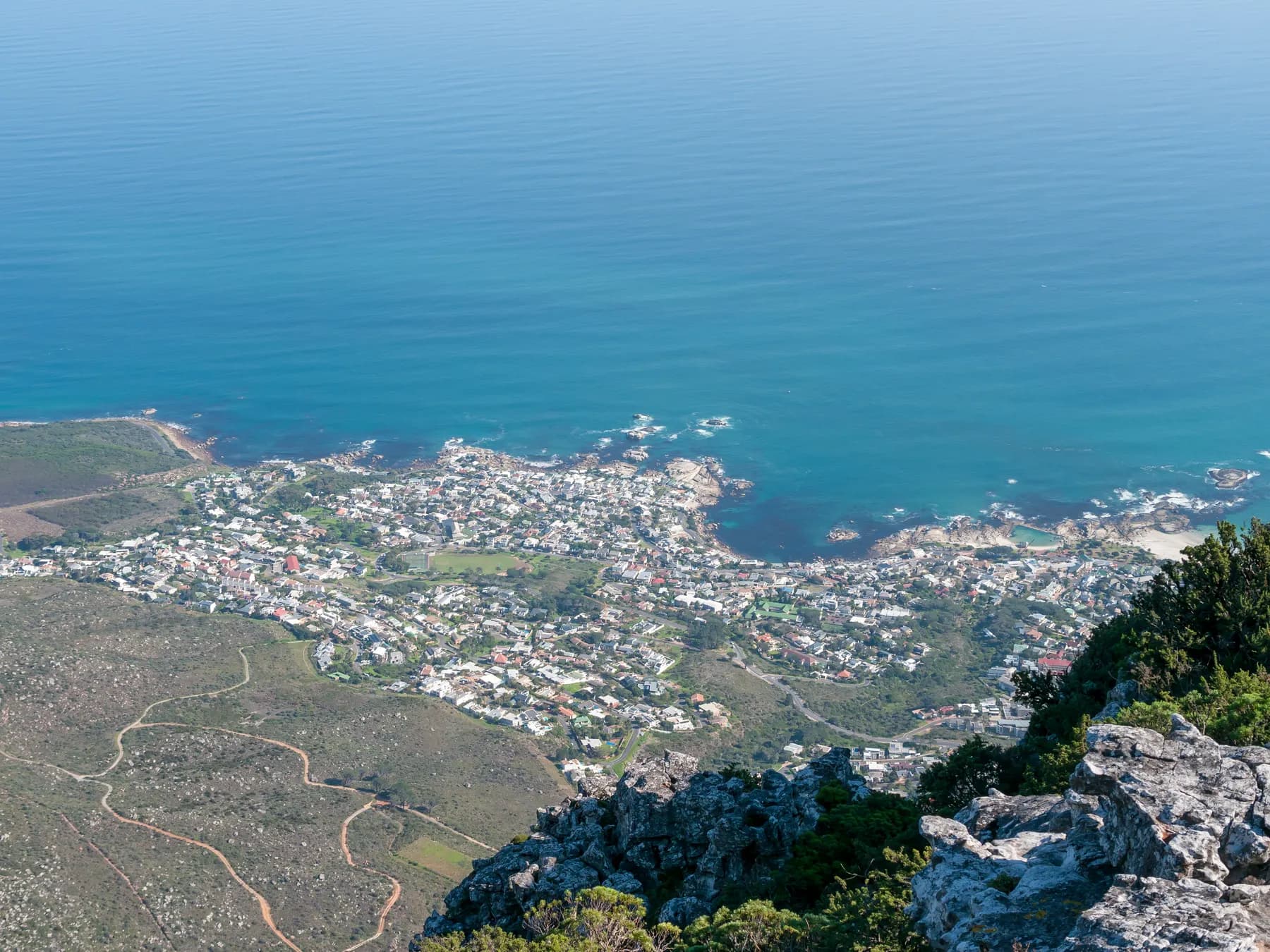
Table Mountain
A flat-topped mountain overlooking Cape Town, Table Mountain rises to 1,086 m at Maclear’s Beacon.

The Cape of Good Hope and Cape Point
The Portuguese explorer Bartolomeu Dias rounded it in 1487 and first called it the Cape of Storms.
The penguins of Boulders Beach
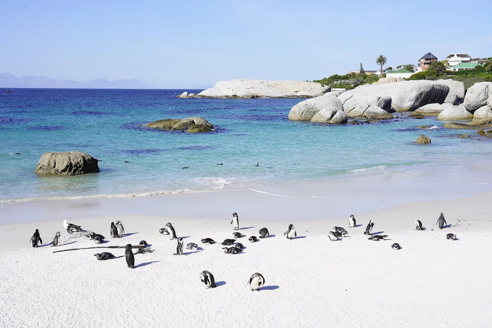
In Simon’s Town, on the eastern side of the Cape Peninsula, a colony of critically endangered African penguins settled in 1982.
Sources · 2 pages consulted, with the exact sentence used
- Blyde River Canyon (Wikipedia)
The Blyde River Canyon is a 26 km long canyon located in Mpumalanga, South Africa. It is the third-largest canyon on Earth […] the Blyde River Canyon is a "green canyon" which is dominated by subtropical vegetation […] passes a rock formation known as the "Three Rondavels". This canyon is part of the Panorama Route. This route starts at the town Graskop and includes God's Window, the Pinnacle and Bourke's Luck Potholes.
- Blyde River Canyon (Wikivoyage)
Driving on the highway between the attractions is free. Most of the points of interest charge an entrance fee […] It is located along the R532 and R534 highways (locally known as the Panorama Route) and is easily accessible from the Kruger National Park and the towns of Graskop, Sabie and Mbombela. (coordinates -24.56389, 30.8075)
Opening hours, prices and access conditions change: check them with the official source before you go. Viafro publishes no price without a source and a date.