Hiking on Santo Antão
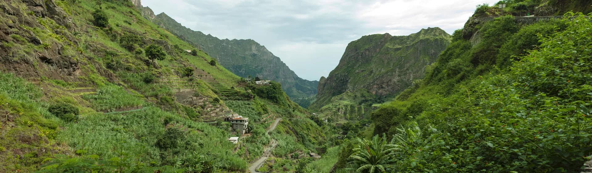
Cape Verde’s second island at 785 km², Santo Antão is volcanic and very mountainous, with two high plateaus and steep valleys. Its highest point, Tope de Coroa, reaches 1,979 m.
Key facts
Before you go.
- Starting point
- Porto Novo, a 1-hour ferry ride from MindeloSanto Antão (Wikivoyage)
- GPS coordinates
- 17.07000, -25.17100Santo Antão, Cape Verde (Wikipedia)
Good to know
Three things to remember.
Fly to São Vicente, then take a taxi to Mindelo harbour (15 to 30 minutes) and the ferry.
Santo Antão (Wikivoyage)The ferry from São Vicente runs twice daily.
Santo Antão (Wikivoyage)In the north, accommodation is metres from the trails; Ponta do Sol also offers diving and climbing.
Santo Antão (Wikivoyage)
Plan the trip
Our recommended partners
One link per need, chosen for reliability. Prices and availability are the partner’s, in a new tab.
Keep exploring
Cape Verde
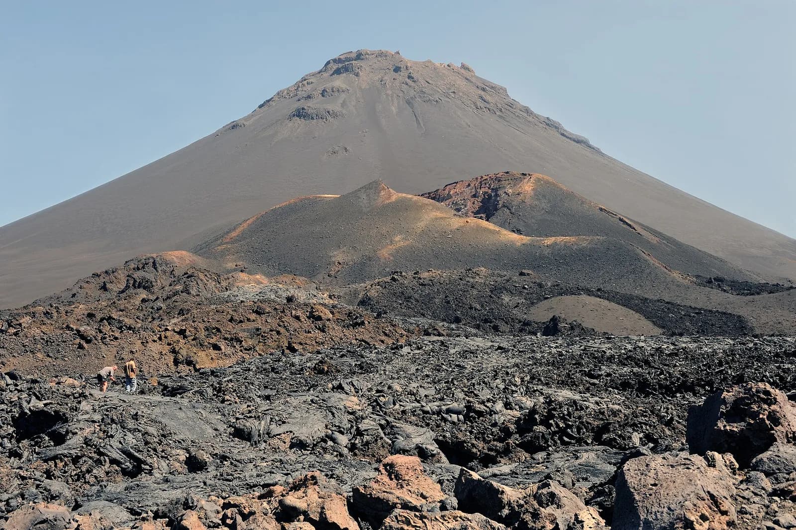
The Fogo volcano
An active stratovolcano, Pico do Fogo rises to 2,829 m; its latest eruptions were in 1951, 1995 and 2014.
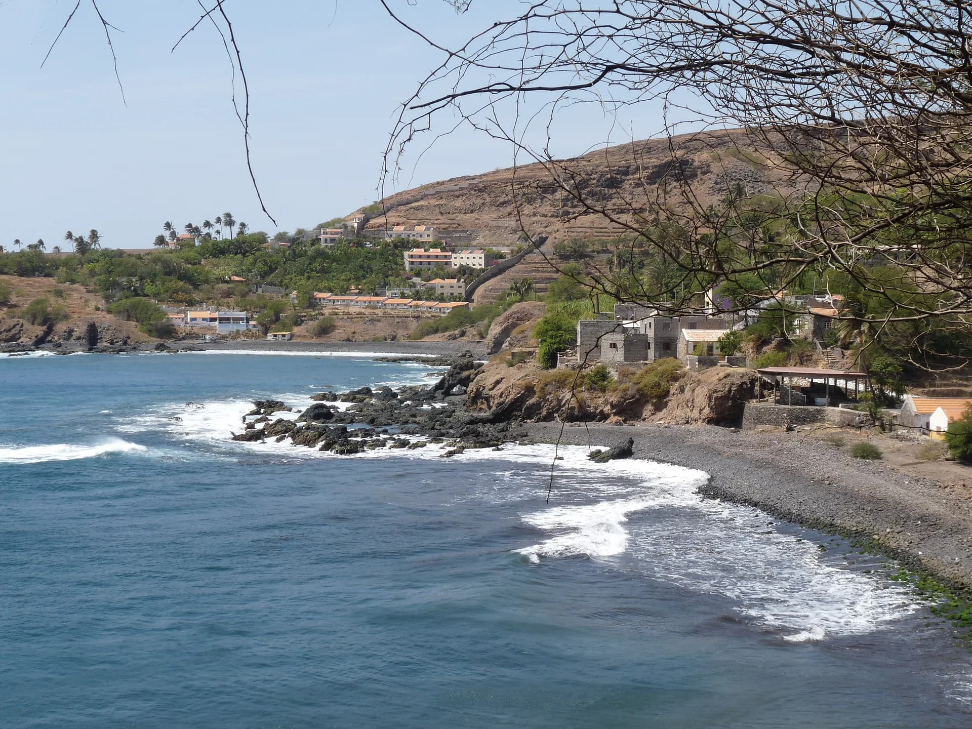
Cidade Velha, Cape Verde’s first town
Founded in 1462 by Portuguese traders, Cidade Velha is the oldest settlement in Cape Verde and its former capital, the first European colonial settlement in the tropics.
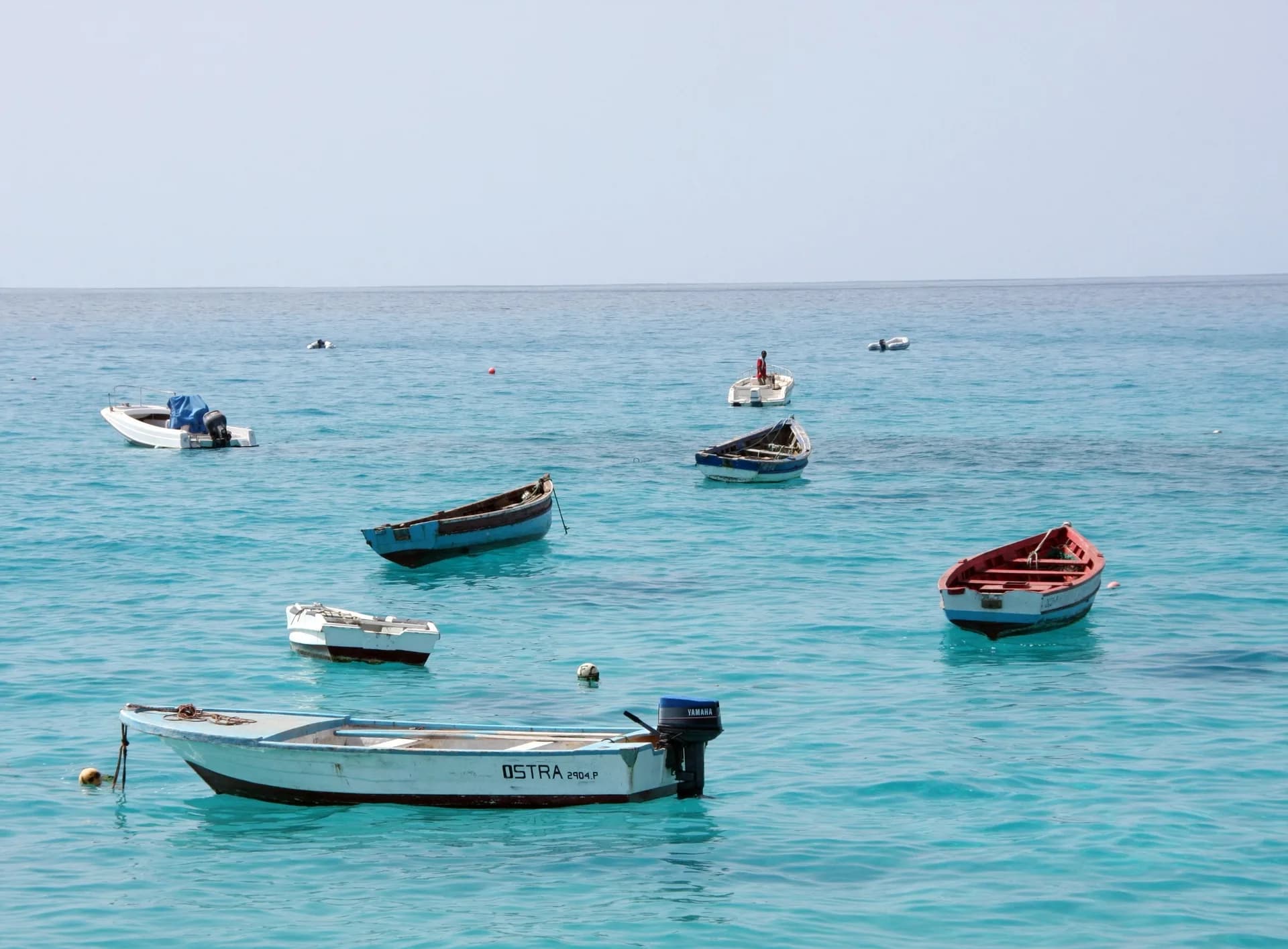
The beaches of Sal, around Santa Maria
Sal, with white sand beaches and over 350 days of sunshine a year, owes its name to its salt ponds.
Sources · 2 pages consulted, with the exact sentence used
- Santo Antão, Cape Verde (Wikipedia)
At 785 km2 (303 sq mi), it is the largest of the Barlavento Islands group, and the second largest island of Cape Verde. […] The island is of volcanic origin and very mountainous, characterized by two high plateaus and several steep river valleys. […] The tallest mountain is Tope de Coroa, reaching an elevation of 1,979 m. (coordinates 17.07, -25.171)
- Santo Antão (Wikivoyage)
[…] in the north you'll find some great accommodation mere meters away from great hiking trails. In Ponta do Sol you can scuba dive, hike or rock climb […] You must fly to São Vicente […] take a taxi […] to the ferry harbor in Mindelo (about 15-30 minutes […]) and a ferry to Santo Antão (about 1 hour […]). There is a punctual twice daily ferry connection from the island São Vicente. The trip from Mindelo to Porto Novo takes about 1 hour with the ferry.
Opening hours, prices and access conditions change: check them with the official source before you go. Viafro publishes no price without a source and a date.