L’île de São Nicolau
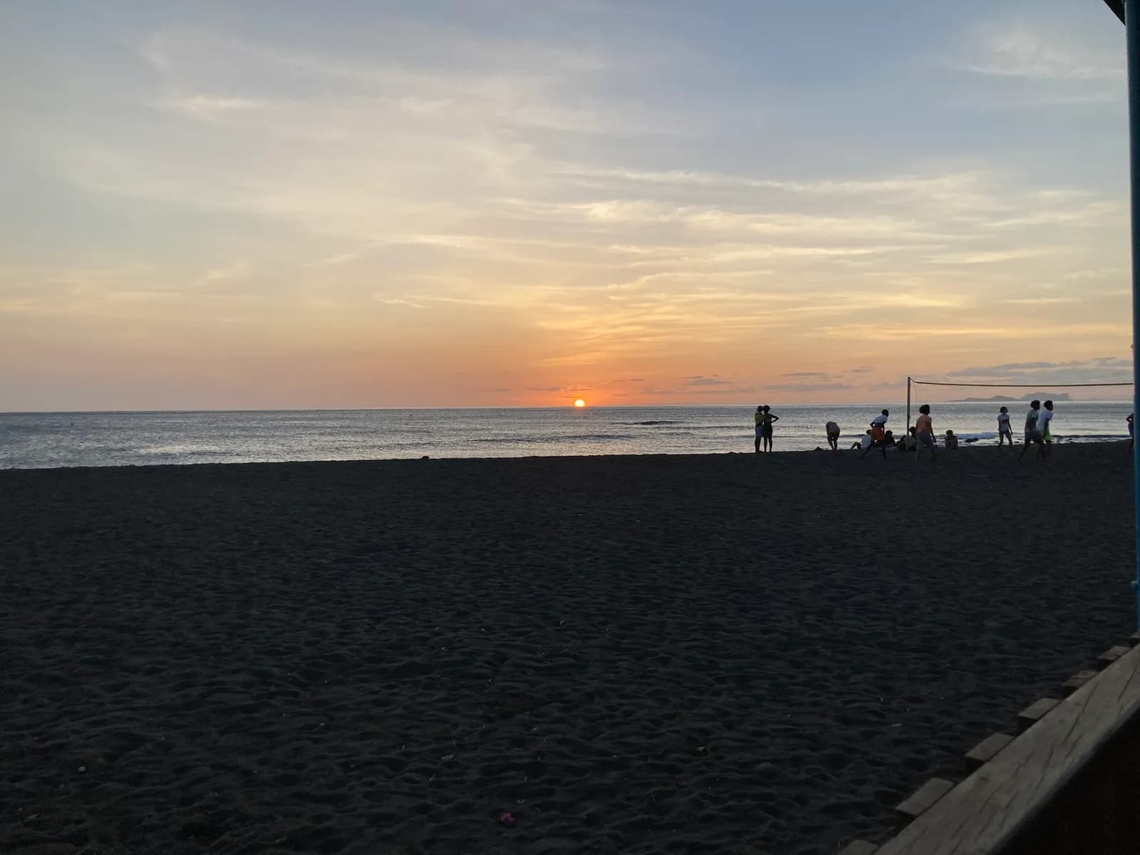
Île montagneuse de 343 km², São Nicolau culmine au Monte Gordo, à 1 312 m, dans sa moitié ouest. Ses deux villes principales sont Ribeira Brava, dans l’intérieur, et Tarrafal de São Nicolau, sur la côte.
Repères
Avant d’y aller.
- Point de départ
- Aéroport de São Nicolau, entre Ribeira Brava et Preguiça, ou port de Tarrafal de São NicolauSão Nicolau, Cape Verde (Wikipedia)
- Coordonnées GPS
- 16.61500, -24.27100São Nicolau, Cape Verde (Wikipedia)
Bon à savoir
Trois choses à retenir.
Le port de Tarrafal de São Nicolau a des liaisons en ferry avec São Vicente (Mindelo) et Santiago (Praia).
São Nicolau, Cape Verde (Wikipedia)Ribeira Brava a été fondée dans l’intérieur après l’abandon, en 1653, du port de Lapa, attaqué par les pirates.
São Nicolau, Cape Verde (Wikipedia)La chanteuse Cesária Évora compte parmi les personnalités liées à l’île.
São Nicolau, Cape Verde (Wikipedia)
Préparer le voyage
Nos partenaires recommandés
Un seul lien par besoin, choisi pour sa fiabilité. Prix et disponibilités sont ceux du partenaire, dans un nouvel onglet.
Poursuivre
Cap-Vert
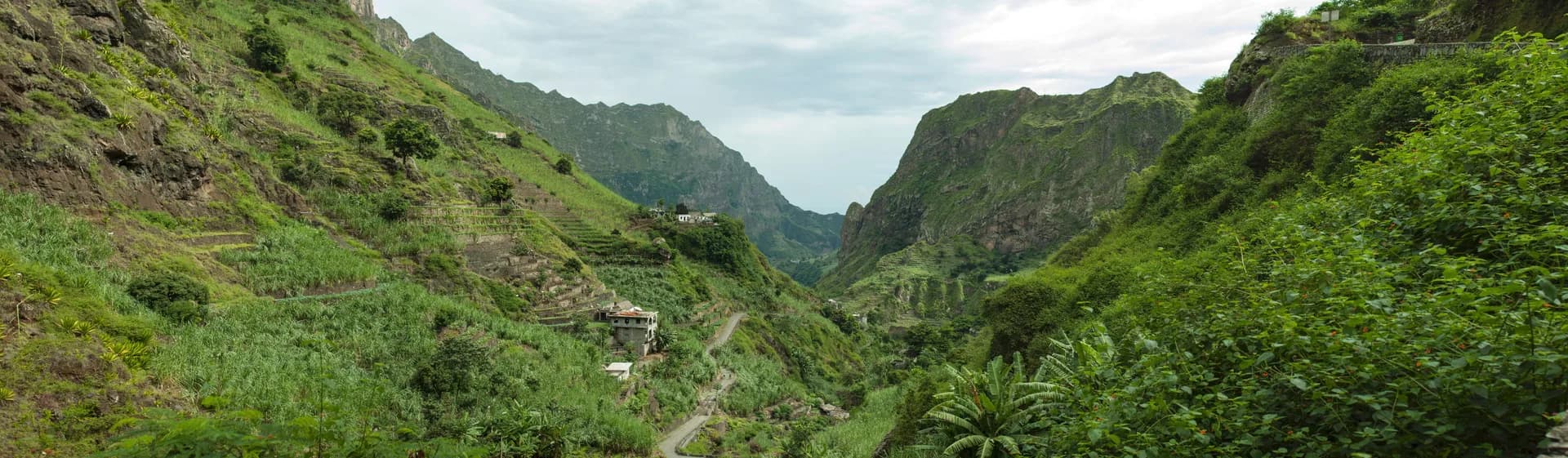
Randonnée à Santo Antão
Deuxième île du Cap-Vert avec 785 km², Santo Antão est volcanique et très montagneuse, avec deux hauts plateaux et de profondes vallées.
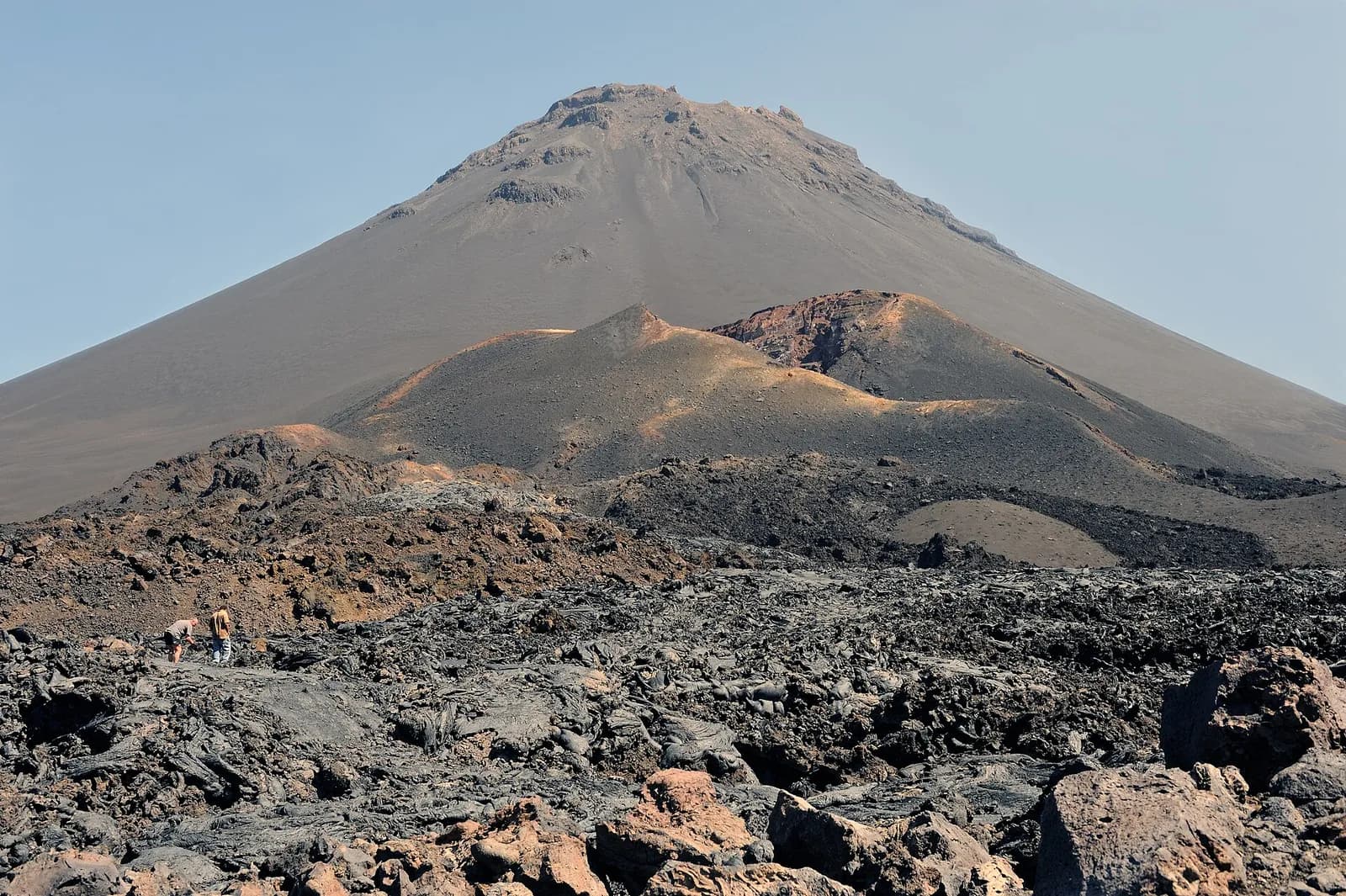
Le volcan de Fogo
Volcan actif, le Pico do Fogo culmine à 2 829 m ; ses dernières éruptions datent de 1951, 1995 et 2014.
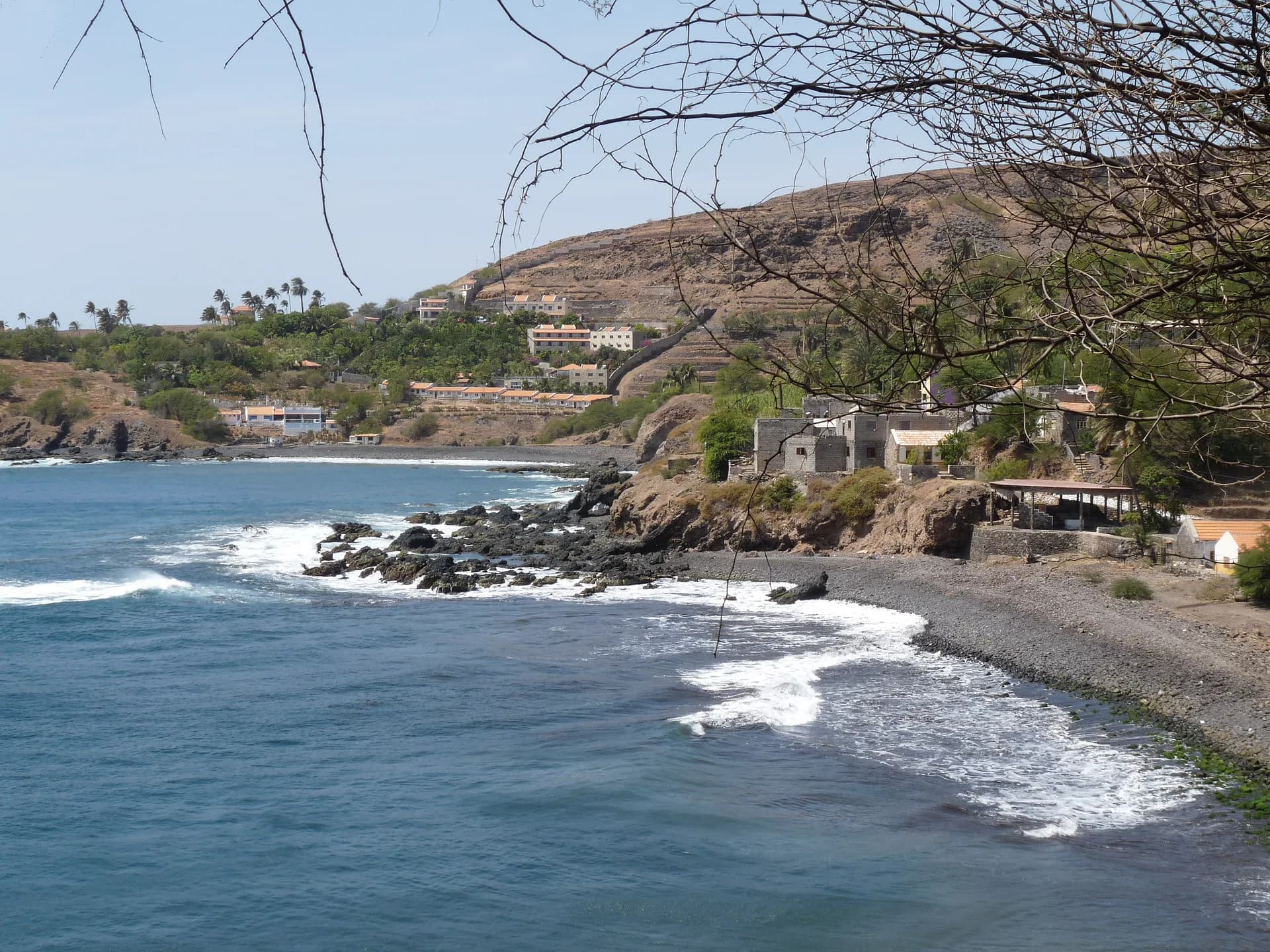
Cidade Velha, la première ville du Cap-Vert
Fondée en 1462 par des marchands portugais, Cidade Velha est la plus ancienne localité du Cap-Vert et son ancienne capitale, première colonie européenne des tropiques.
Sources · 1 pages consultées, avec la phrase exacte reprise
- São Nicolau, Cape Verde (Wikipedia)
[…] with an area of 343 km2 […] The main towns are Ribeira Brava and Tarrafal de São Nicolau. […] The settlement Porto de Lapa was abandoned in 1653 due to pirate attacks, and the town Ribeira Brava was founded in the interior. […] The mountainous island […] The highest point on the island is Monte Gordo (1,312 m), in the western half of the island. […] The island has a domestic airport, São Nicolau Airport, located between Ribeira Brava and Preguiça. There is a port at Tarrafal de São Nicolau, with ferry connections to the islands of São Vicente (Mindelo) and Santiago (Praia). […] Notable residents: Cesária Évora (1941-2011), famed musician (coordinates 16.615, -24.271)
Horaires, tarifs et conditions d’accès changent : vérifiez-les auprès de la source officielle avant de partir. Viafro ne publie aucun prix sans source ni date.