Randonnée à Santo Antão
Deuxième île du Cap-Vert avec 785 km², Santo Antão est volcanique et très montagneuse, avec deux hauts plateaux et de profondes vallées. Son point culminant, le Tope de Coroa, atteint 1 979 m.
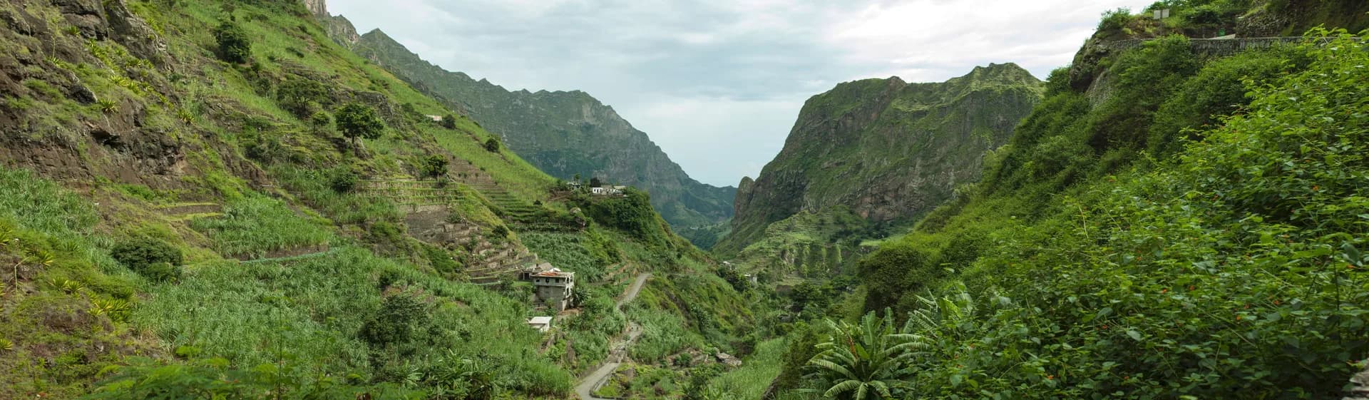
Repères
Avant d’y aller.
- Point de départ
- Porto Novo, à 1 heure de ferry de MindeloSanto Antão (Wikivoyage)
- Coordonnées GPS
- 17.07000, -25.17100Santo Antão, Cape Verde (Wikipedia)
Bon à savoir
Trois choses à retenir.
On arrive en avion à São Vicente, puis taxi jusqu’au port de Mindelo (15 à 30 minutes) et ferry.
Santo Antão (Wikivoyage)Le ferry depuis São Vicente circule deux fois par jour.
Santo Antão (Wikivoyage)Dans le nord, des hébergements sont à quelques mètres des sentiers ; Ponta do Sol se prête aussi à la plongée et à l’escalade.
Santo Antão (Wikivoyage)
Préparer le voyage
Nos partenaires recommandés
Un seul lien par besoin, choisi pour sa fiabilité. Prix et disponibilités sont ceux du partenaire, dans un nouvel onglet.
Poursuivre
Cap-Vert
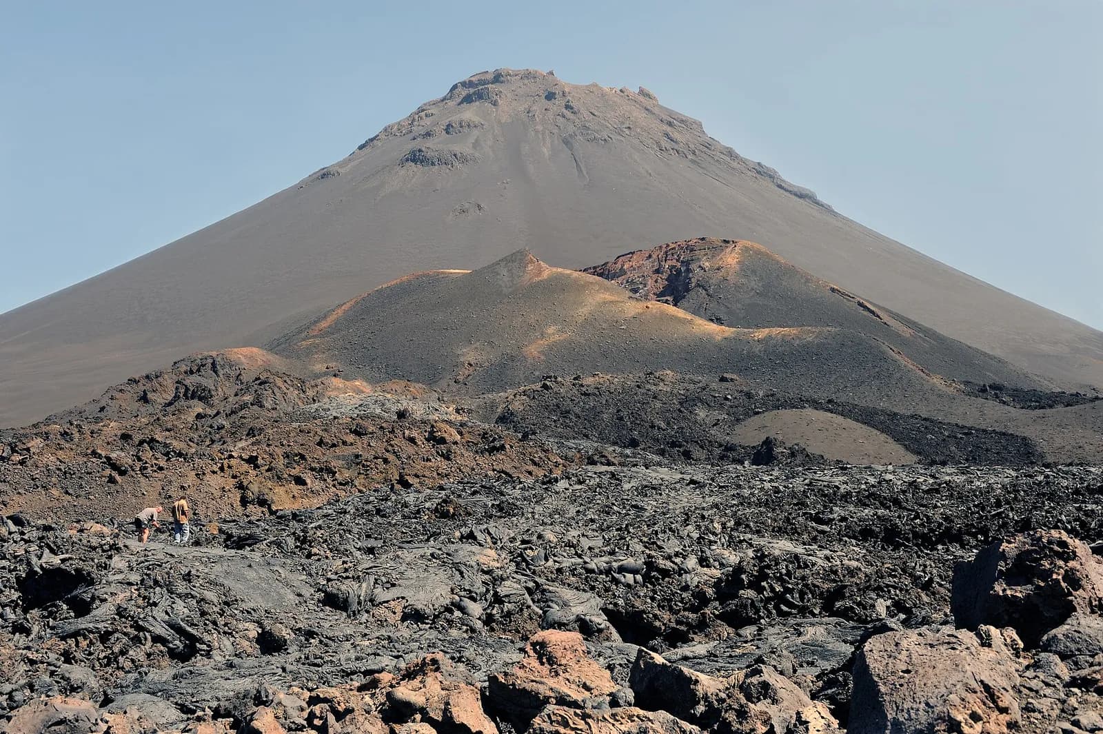
Le volcan de Fogo
Volcan actif, le Pico do Fogo culmine à 2 829 m ; ses dernières éruptions datent de 1951, 1995 et 2014.
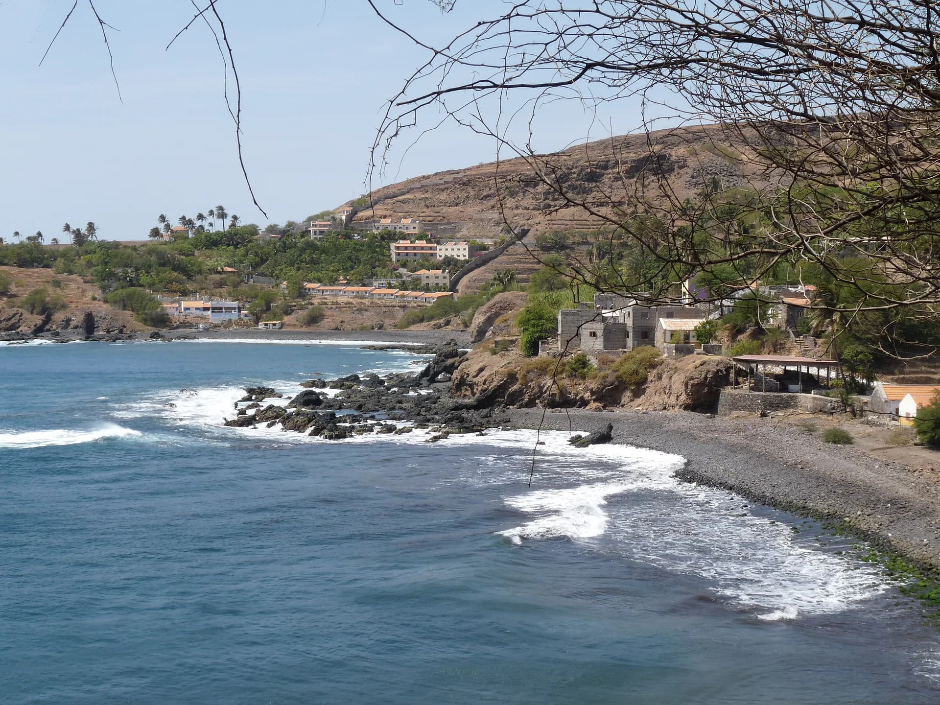
Cidade Velha, la première ville du Cap-Vert
Fondée en 1462 par des marchands portugais, Cidade Velha est la plus ancienne localité du Cap-Vert et son ancienne capitale, première colonie européenne des tropiques.
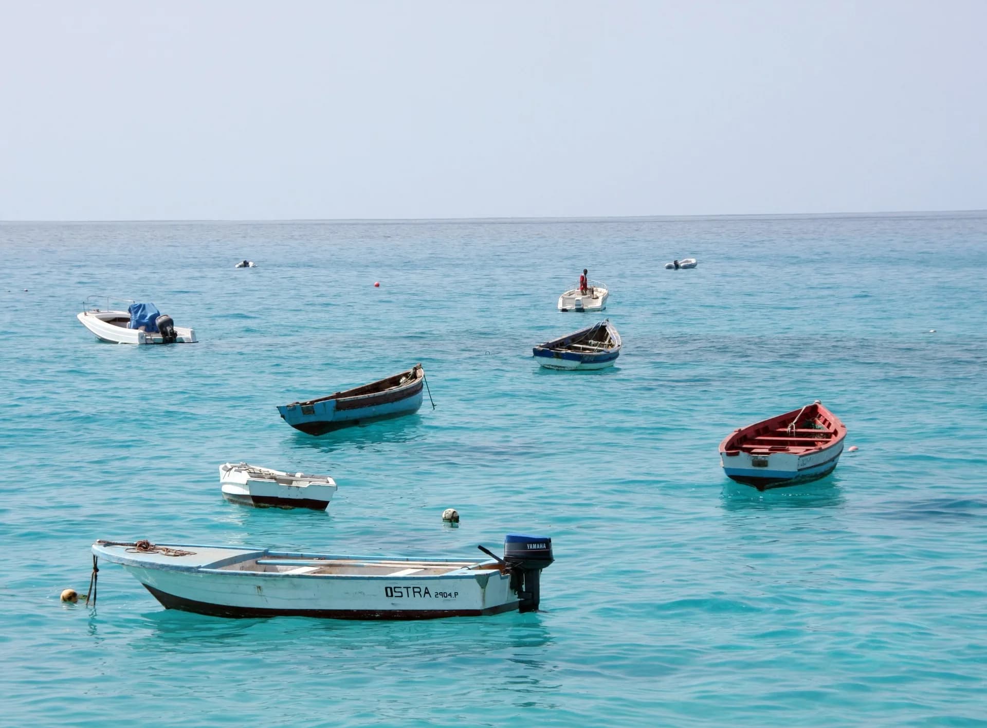
Les plages de Sal, autour de Santa Maria
L’île de Sal, plages de sable blanc et plus de 350 jours de soleil par an, doit son nom à ses salines.
Sources · 2 pages consultées, avec la phrase exacte reprise
- Santo Antão, Cape Verde (Wikipedia)
At 785 km2 (303 sq mi), it is the largest of the Barlavento Islands group, and the second largest island of Cape Verde. […] The island is of volcanic origin and very mountainous, characterized by two high plateaus and several steep river valleys. […] The tallest mountain is Tope de Coroa, reaching an elevation of 1,979 m. (coordinates 17.07, -25.171)
- Santo Antão (Wikivoyage)
[…] in the north you'll find some great accommodation mere meters away from great hiking trails. In Ponta do Sol you can scuba dive, hike or rock climb […] You must fly to São Vicente […] take a taxi […] to the ferry harbor in Mindelo (about 15-30 minutes […]) and a ferry to Santo Antão (about 1 hour […]). There is a punctual twice daily ferry connection from the island São Vicente. The trip from Mindelo to Porto Novo takes about 1 hour with the ferry.
Horaires, tarifs et conditions d’accès changent : vérifiez-les auprès de la source officielle avant de partir. Viafro ne publie aucun prix sans source ni date.