Namibia road trip, 14 days
Two weeks from south to north: the Fish River Canyon, Kolmanskop, the dunes of Sossusvlei, the Skeleton Coast, Twyfelfontein and Etosha, with an activity sheet and its sources for every stage.

Fourteen days from south to north: Africa’s largest canyon, a diamond ghost town, the red dunes of the Namib, Swakopmund, the Skeleton Coast, the engravings of Twyfelfontein, Etosha and the Waterberg. Every stage links to an activity sheet, where each fact cites its source.
Distances and driving times are given only where a source states them. In the parks, the official entrance fee is 280 Namibian dollars per foreign adult, under the schedule in force since 1 April 2026.
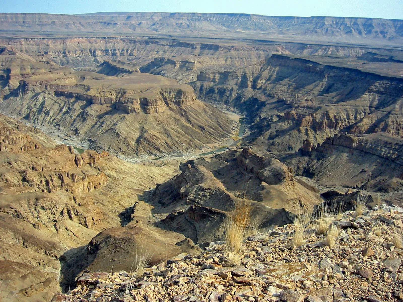
Days 1–2 · The Fish River Canyon
Africa’s largest canyon runs for about 160 km and is almost 550 m deep. The Hobas viewpoint is reached by the C12 then the C37 from the B1; the Ai-Ais hot springs by the C10.
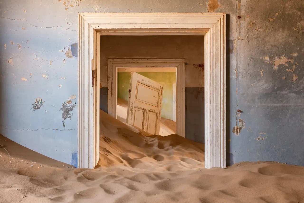
Day 3 · Lüderitz and Kolmanskop
10 km from Lüderitz, Kolmanskop grew from a diamond find in 1908. The ghost town is now open to visitors; several agencies in Lüderitz take people there.
Days 4–5 · Sossusvlei and Deadvlei
The Sesriem gate, 65 km from Sossusvlei, opens at sunrise and closes at sunset. To be in the dunes at dawn, you have to stay in the Namibia Wildlife Resorts lodgings inside the gate.
Days 6–7 · Swakopmund
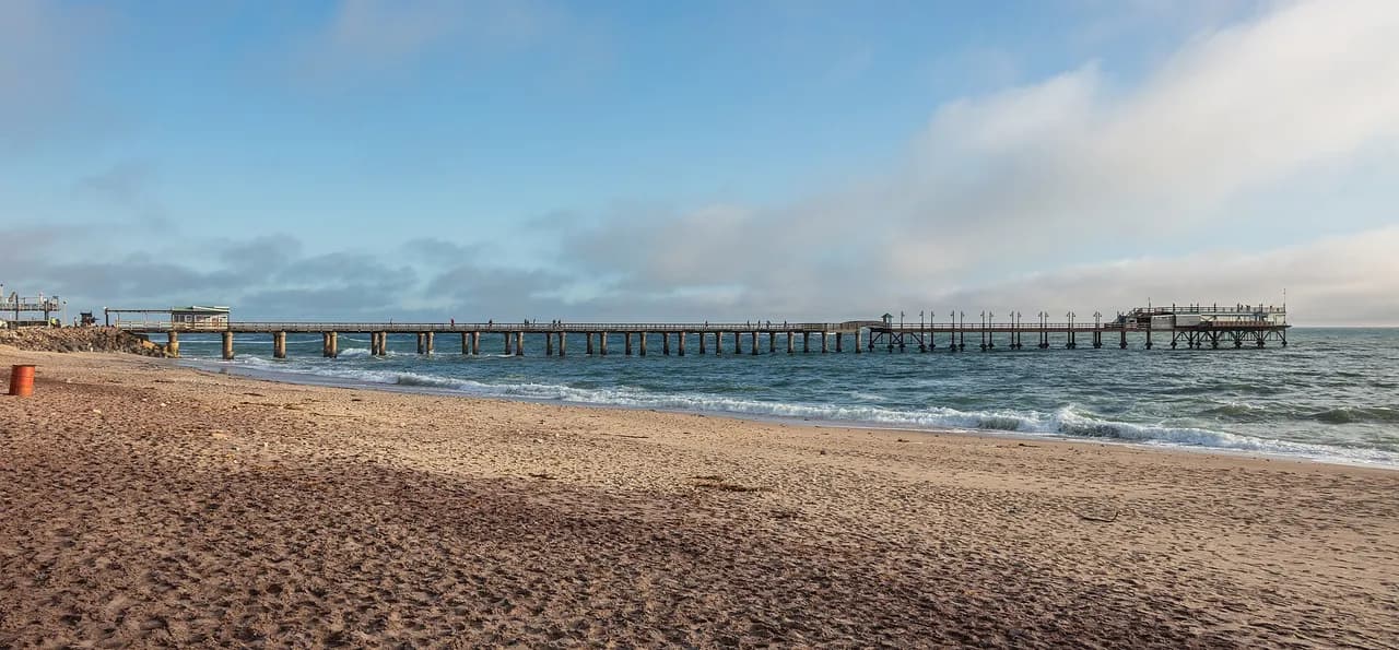
Founded in 1892, the beach resort keeps its German colonial architecture. It gets about 20 mm of rain a year, but thick fog is common; in winter it can bring temperatures below 10 °C.
Day 8 · Spitzkoppe
Between Usakos and Swakopmund, these granite peaks rise to about 1,728 m. A women’s cooperative runs the campsites among the rocks, and the San rock-painting sites can only be visited with a guide.
Day 9 · Cape Cross and the Skeleton Coast
The Cape Cross seal reserve marks the spot where Diogo Cão set up a stone cross in 1486. Further north on the Skeleton Coast, the C34 coast road is dangerous in thick fog: stay on the permitted tracks.
Day 10 · Twyfelfontein
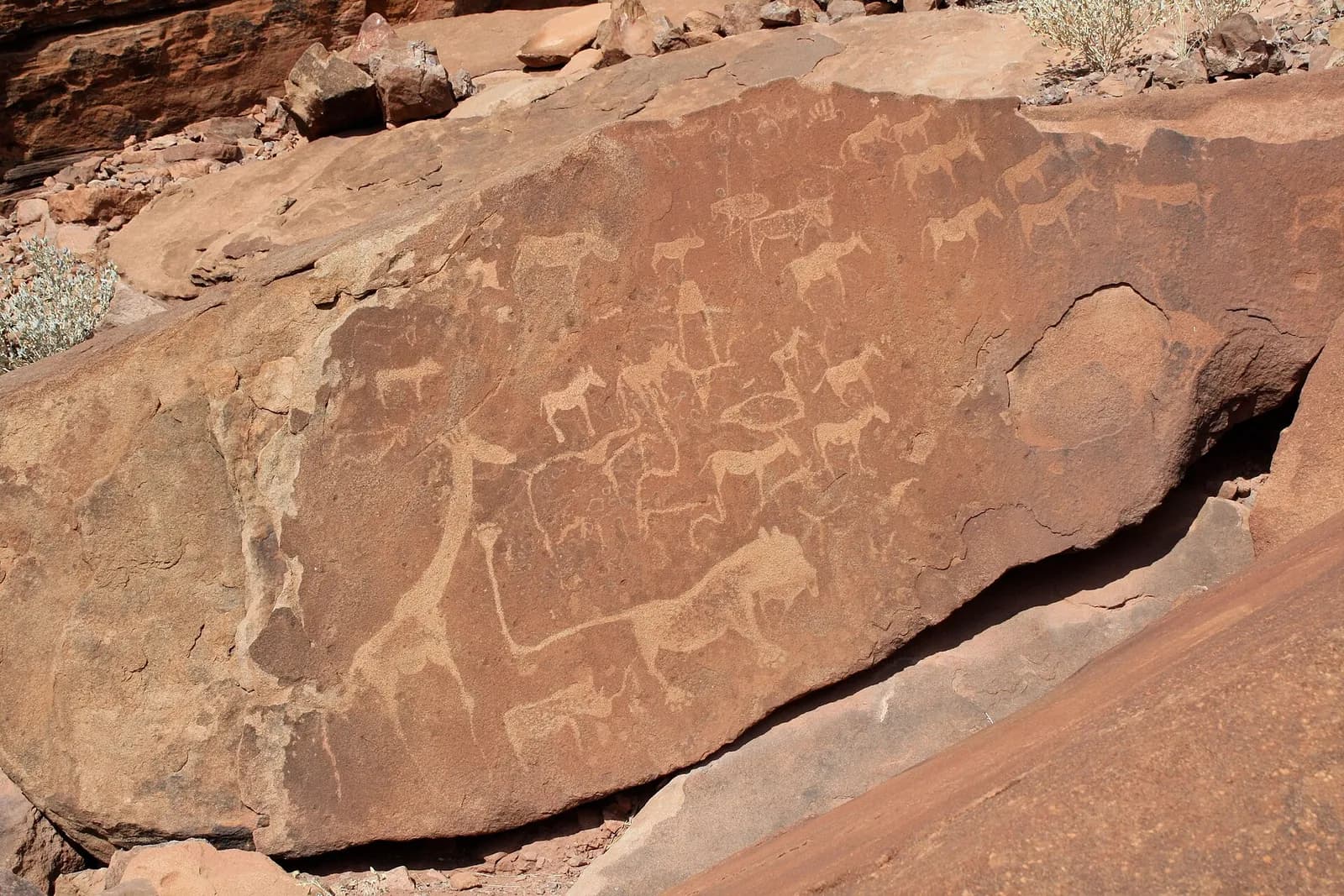
At least 2,500 rock engravings, Namibia’s first World Heritage Site in 2007. They can only be visited with a guide, included in the entrance ticket.
Days 11–13 · Etosha
The park covers 22,270 km², nearly a quarter of it the great Etosha pan. Walking outside your vehicle is forbidden except in fenced camps; several camps have floodlit waterholes for watching animals after sunset.
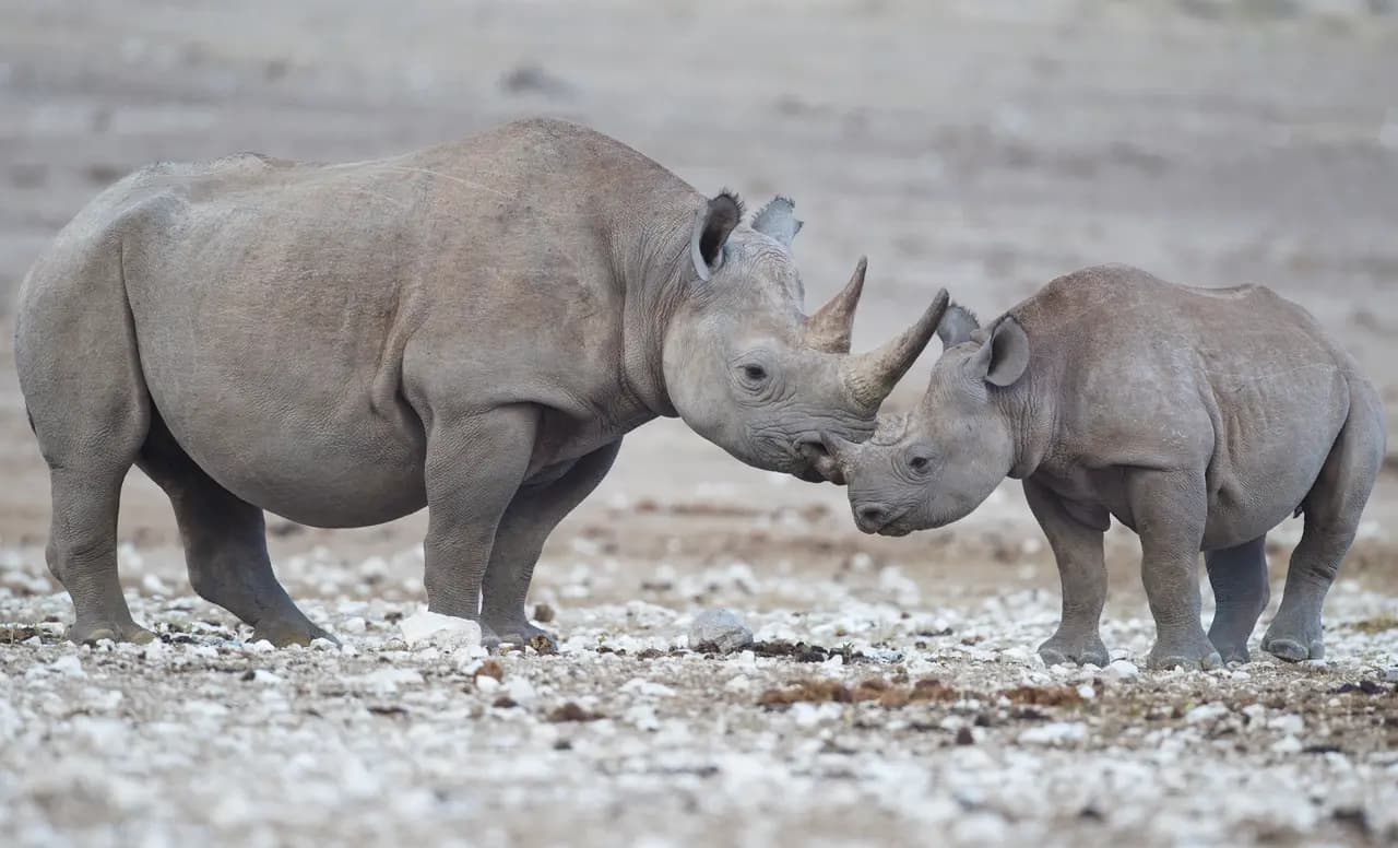
Day 14 · The Waterberg Plateau
68 km south-east of Otjiwarongo, the table mountain towers above the Kalahari plains. A nature reserve since 1972, it saw the black rhino reintroduced in 1989.
Sources · 16
Live this journey.
The flight, a hotel and an activity of the route from our partners, in a new tab. Prices and availability are theirs.
Affiliate link: Viafro earns a commission at no extra cost to you.The journal
Keep reading.
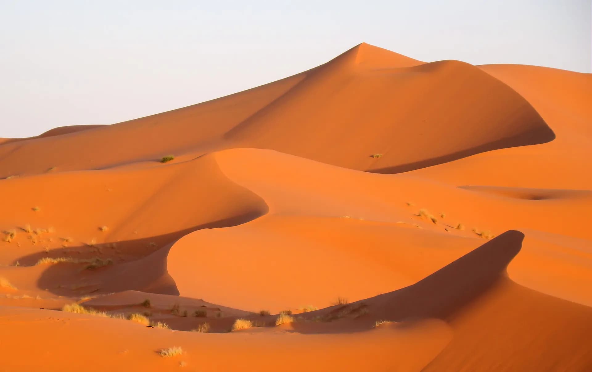
Morocco in 10 days: Marrakech, the desert, Fez
A day-by-day route from Jemaa el-Fna square to the dunes of Erg Chebbi and the Fez medina, with an activity sheet and its sources for every stage.
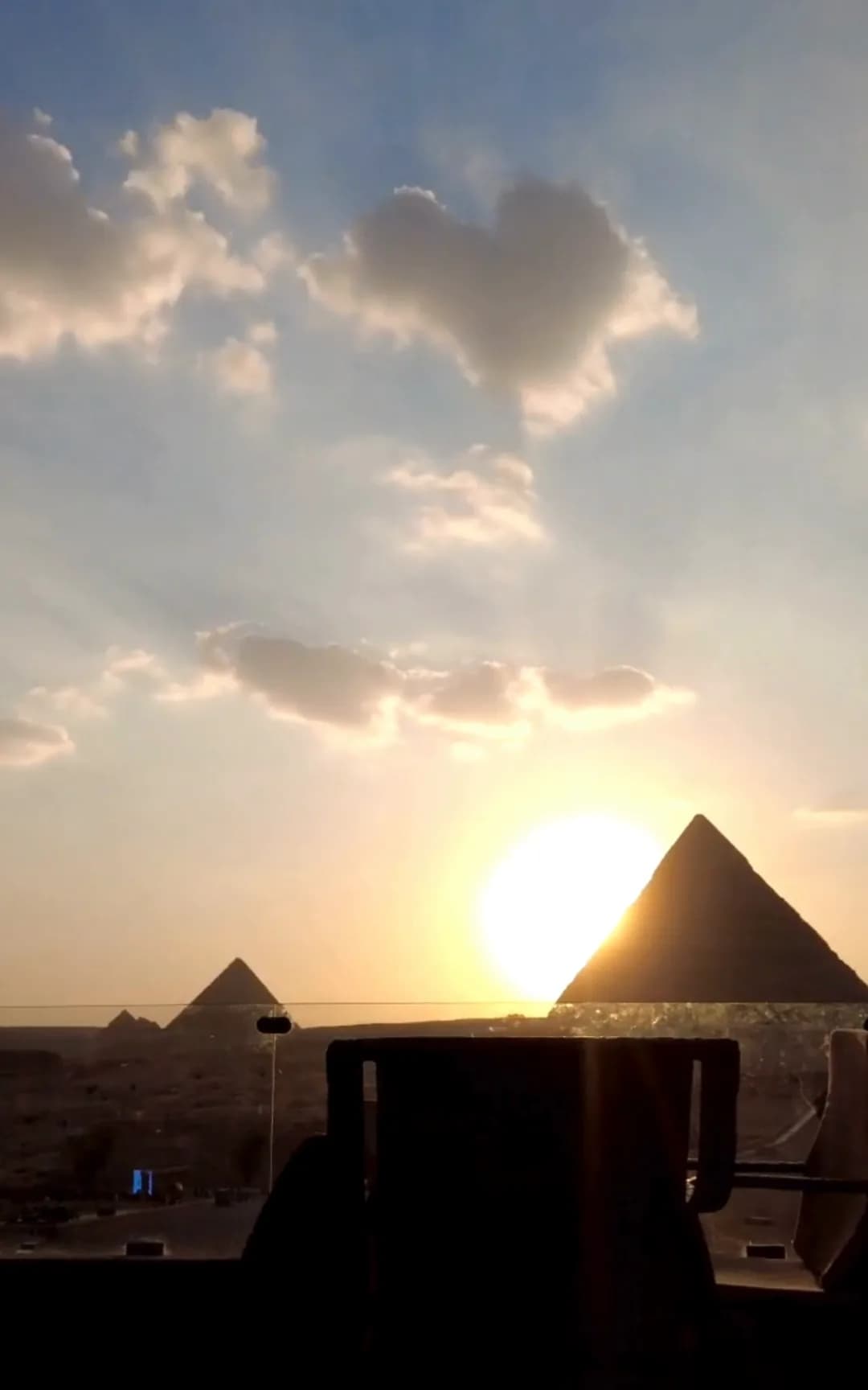
Egypt in 7 days: Cairo, Luxor, Aswan
A day-by-day route from the pyramids of Giza to the temples of Abu Simbel, with an activity sheet, official opening hours and prices for every stage.
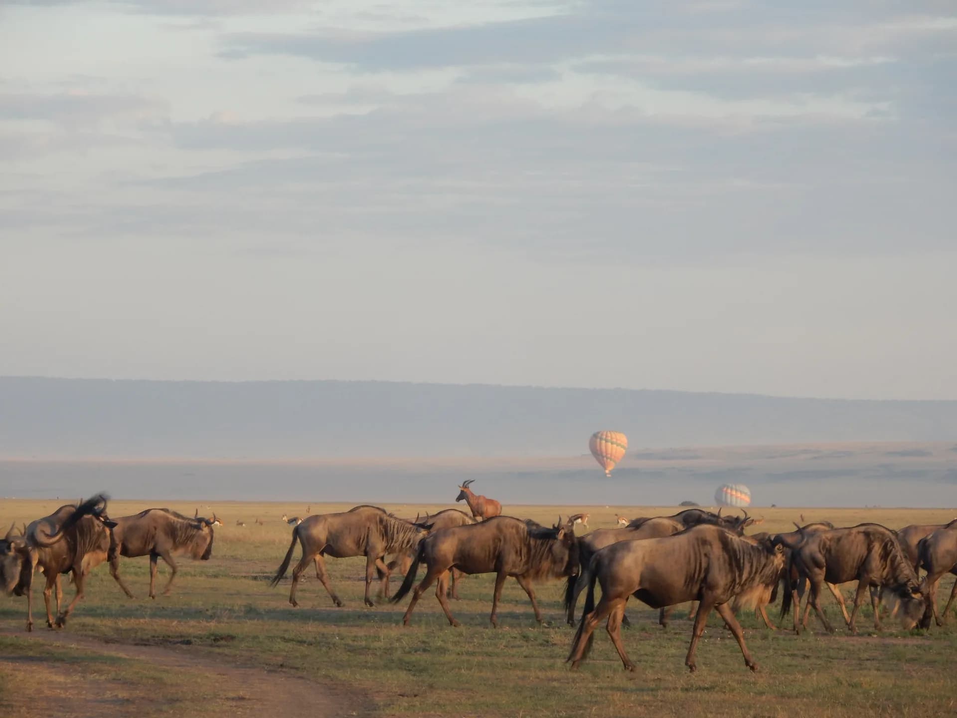
Kenya in 10 days: the Maasai Mara, then the coast
A day-by-day route from Nairobi National Park to the plains of the Maasai Mara, then Mombasa and Diani Beach, with an activity sheet and its sources for every stage.