Sossusvlei and Deadvlei
In the southern Namib Desert, Sossusvlei is a salt and clay pan ringed by high red dunes; its name roughly means “dead-end marsh”. Nearby, Deadvlei is a white clay pan between the dunes of Namib-Naukluft Park.

Key facts
Before you go.
- Starting point
- Sesriem, 65 km from Sossusvlei; the better part of a day’s drive from WindhoekSossusvlei (Wikivoyage)
- GPS coordinates
- -24.73983, 15.28765Sossusvlei (Wikipedia)
- Opening hours
- The gates open at sunrise and close at sunsetSossusvlei (Wikivoyage)
- Official price
- 280 Namibian dollars per foreign adult (entrance and conservation fee), in force since 1 April 2026 · checked on 1 November 2026Park entrance and conservation fees from 1 April 2026 (ministère namibien de l’Environnement, publié par NWR)
Good to know
Three things to remember.
To be at the dunes at sunrise, you must stay at the Namibia Wildlife Resorts accommodation inside the gate.
Sossusvlei (Wikivoyage)Private lodges that are geographically closer still have to pass the same gate as everyone else.
Sossusvlei (Wikivoyage)The Deadvlei pan formed when the Tsauchab river flooded the valley after rain.
Deadvlei (Wikipedia)
Plan the trip
Our recommended partners
One link per need, chosen for reliability. Prices and availability are the partner’s, in a new tab.
Keep exploring
Namibia
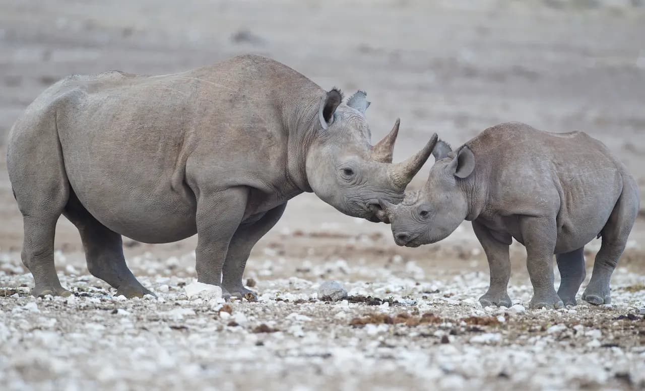
Safari in Etosha National Park
A game reserve from 1907 and a national park since 1967, Etosha covers 22,270 km² in north-western Namibia.
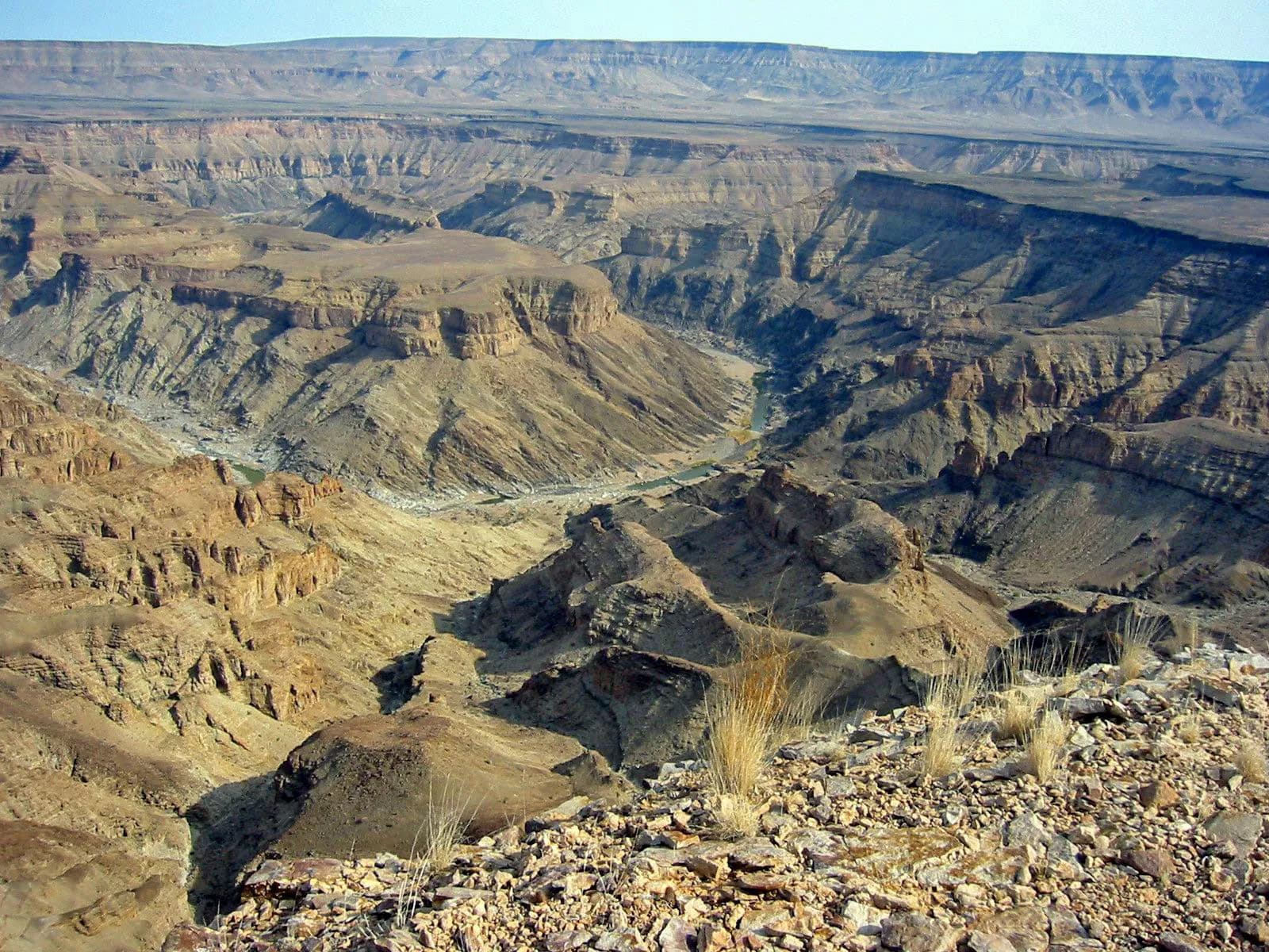
The Fish River Canyon
Africa’s largest canyon, the Fish River Canyon runs for about 160 km, up to 27 km wide and almost 550 m deep.
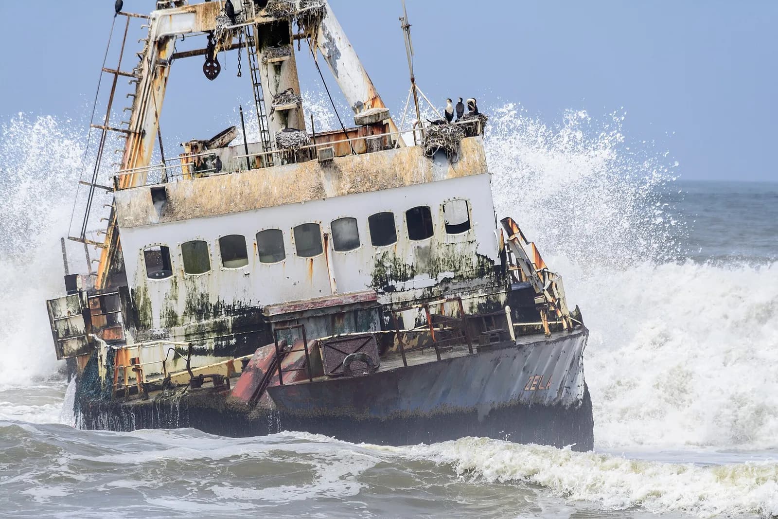
The Skeleton Coast
On the northern Atlantic coast of Namibia, the Skeleton Coast runs from the Kunene River to the Swakop River, shrouded in fog by the cold Benguela current.
Sources · 4 pages consulted, with the exact sentence used
- Sossusvlei (Wikipedia)
Sossusvlei […] is a salt and clay pan surrounded by high red dunes, located in the southern part of the Namib Desert, in the Namib-Naukluft National Park of Namibia. […] The name "Sossusvlei" […] roughly means "dead-end marsh". (coordinates -24.73983, 15.28765)
- Deadvlei (Wikipedia)
Deadvlei is a white clay pan located near the more famous salt pan of Sossusvlei, in a valley between the dunes in the Namib-Naukluft Park […] The clay pan was formed after rainfall, when the Tsauchab river flooded […]
- Sossusvlei (Wikivoyage)
Sesriem is the better part of a day's drive from Windhoek. Sesriem is still some 65 km (40 mi) from the Sossusvlei, and the gates open at sunrise and close at sunset. The only way to be at the dunes at sunrise is to stay at the Namibia Wildlife Resort accommodation […] which are inside the gate. There are several private lodges that claim they are closer to Sossusvlei […] they have to pass the gate like everyone else.
- Park entrance and conservation fees from 1 April 2026 (ministère namibien de l’Environnement, publié par NWR)
Revised and updated park entrance and conservation fees to be implemented from 01 April 2026 · Ai-/Ais Game Park, Cape Cross Seal Reserve, Dorob National Park, Etosha National Park, Namib Naukluft Park (except Sandwich Harbour), Tsau /Khaeb (Sperrgebiet) National Park, Skeleton Coast Park, Waterberg Plateau · Adults · Other foreign nationals: Park Entrance Fee 140, Conservation Fee 140, Total Park Fee (N$) 280.
Opening hours, prices and access conditions change: check them with the official source before you go. Viafro publishes no price without a source and a date.