The Congo Nile Trail
The Congo Nile Trail is a multi-day hiking and cycling route along the shores of Lake Kivu. It runs about 227 km, from Rubavu (Gisenyi) in the north to Rusizi (Cyangugu) in the south.
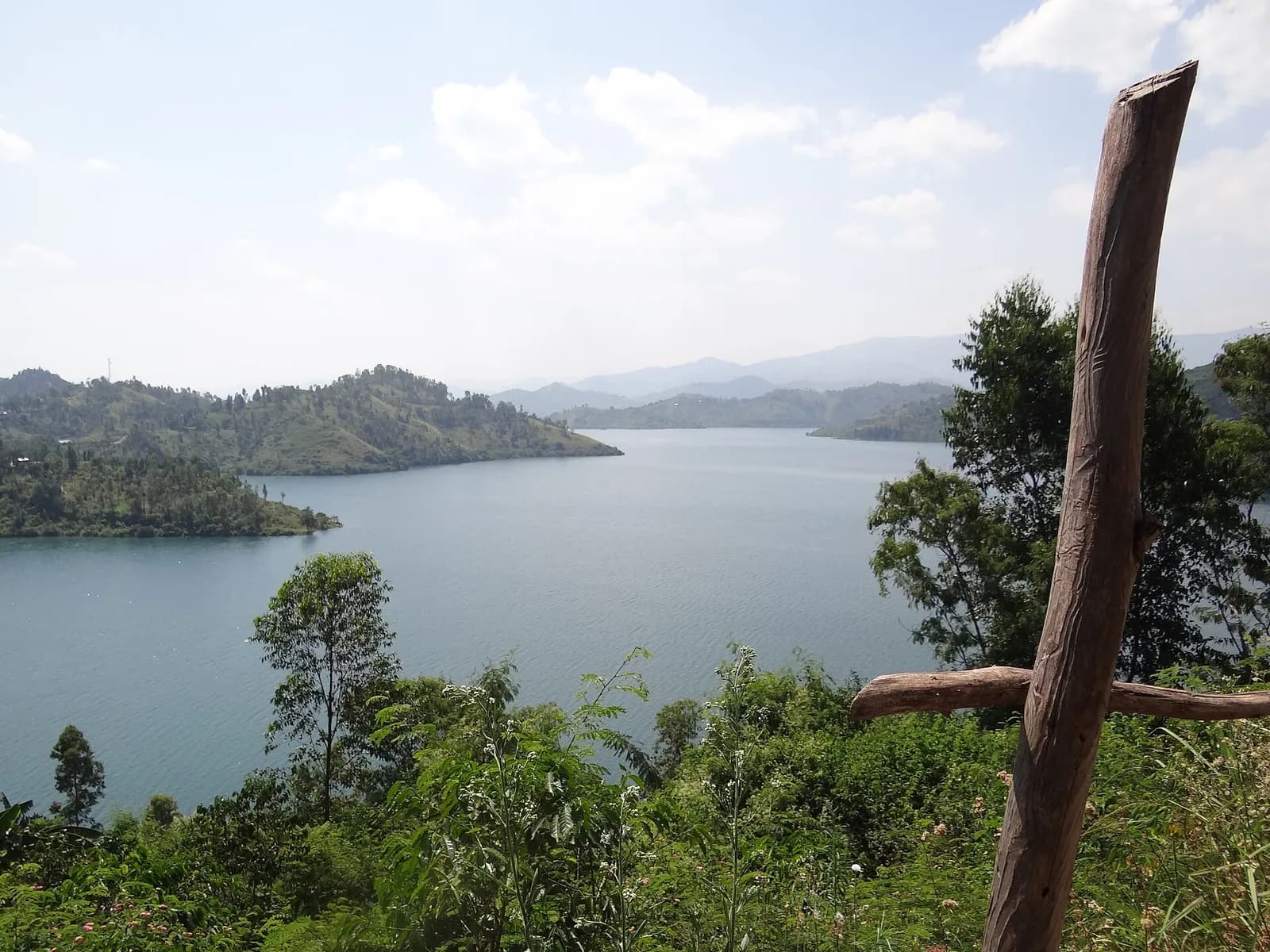
Key facts
Before you go.
- Starting point
- Rubavu (Gisenyi), at the north end of Lake KivuRwanda (Wikivoyage)
- GPS coordinates
- -1.70000, 29.25000Gisenyi (Wikivoyage)
Good to know
Three things to remember.
Buses link Kigali to Gisenyi twice an hour, in 3 hours.
Gisenyi (Wikivoyage)The route is done on foot or by bike, over several days.
Rwanda (Wikivoyage)Lake Kivu, which the trail follows, is Africa’s eighth largest lake.
Lake Kivu (Wikipedia)
Plan the trip
Our recommended partners
One link per need, chosen for reliability. Prices and availability are the partner’s, in a new tab.
Keep exploring
Rwanda
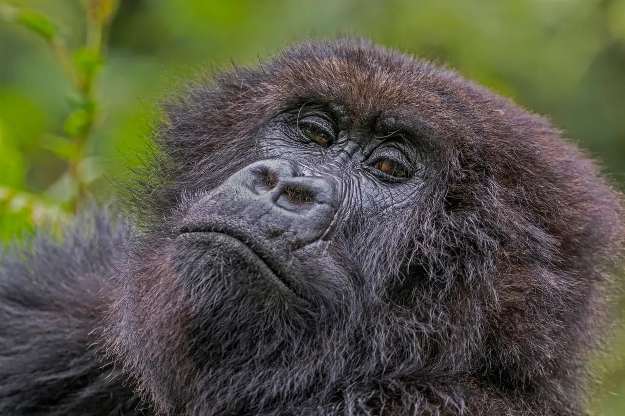
The gorillas of Volcanoes National Park
In north-western Rwanda, Volcanoes National Park covers 160 km² of rainforest and five of the eight Virunga volcanoes.
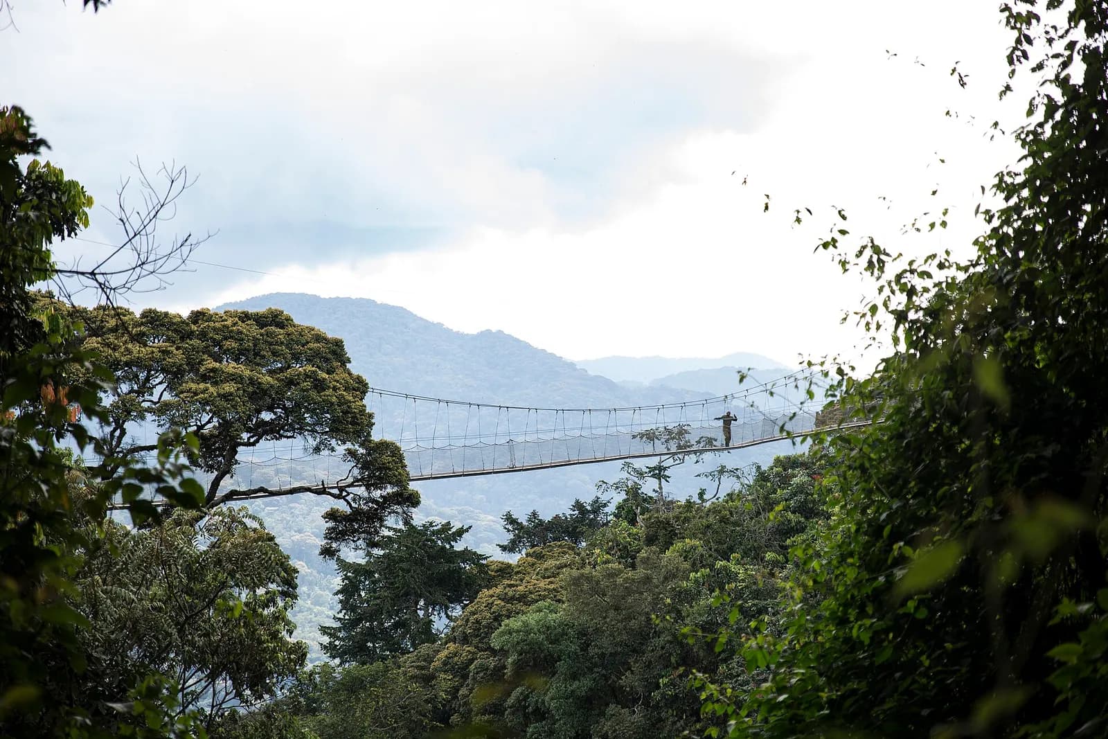
The Nyungwe forest
In south-western Rwanda, on the Burundi border, Nyungwe is most likely the best-preserved montane rainforest in Africa.
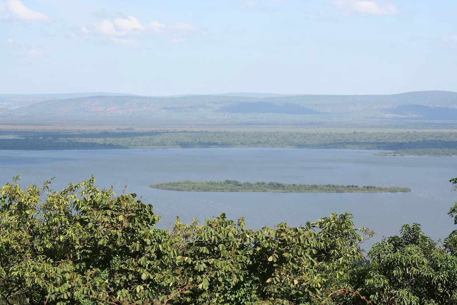
Safari in Akagera National Park
In eastern Rwanda, along the Tanzanian border, Akagera covers 1,122 km² of savannah, mountains and swamp.
Sources · 3 pages consulted, with the exact sentence used
- Rwanda (Wikivoyage)
The Congo Nile Trail is a multi-day hiking and cycling route along the shores of Lake Kivu, running about 227 km from Rubavu (Gisenyi) in the north to Rusizi (Cyangugu) in the south.
- Gisenyi (Wikivoyage)
Gisenyi is a town on the north shore of Lake Kivu […] Buses run two times an hour between Kigali and Gisenyi 3 hours. (coordinates -1.7, 29.25)
- Lake Kivu (Wikipedia)
[…] a total surface area of some 2,700 km2 […] making it Africa's eighth largest lake.
Opening hours, prices and access conditions change: check them with the official source before you go. Viafro publishes no price without a source and a date.