Black River Gorges
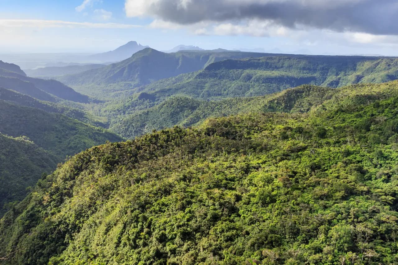
Mauritius’s largest national park, created in 1994 in the hilly south-west, covers 67.5 km² of forest and heathland. It holds all of the island’s endemic birds, such as the pink pigeon and the Mauritius kestrel.
Key facts
Before you go.
- Starting point
- Around Chamarel, in the island’s south-westChamarel (Wikipedia)
Good to know
Three things to remember.
The park has two information centres, picnic areas and 60 km of trails.
Black River Gorges National Park (Wikipedia)It protects most of the island’s remaining rainforest.
Black River Gorges National Park (Wikipedia)The Mauritian flying fox, an endemic fruit bat, also lives here.
Black River Gorges National Park (Wikipedia)
Plan the trip
Our recommended partners
One link per need, chosen for reliability. Prices and availability are the partner’s, in a new tab.
Keep exploring
Mauritius
Le Morne Brabant
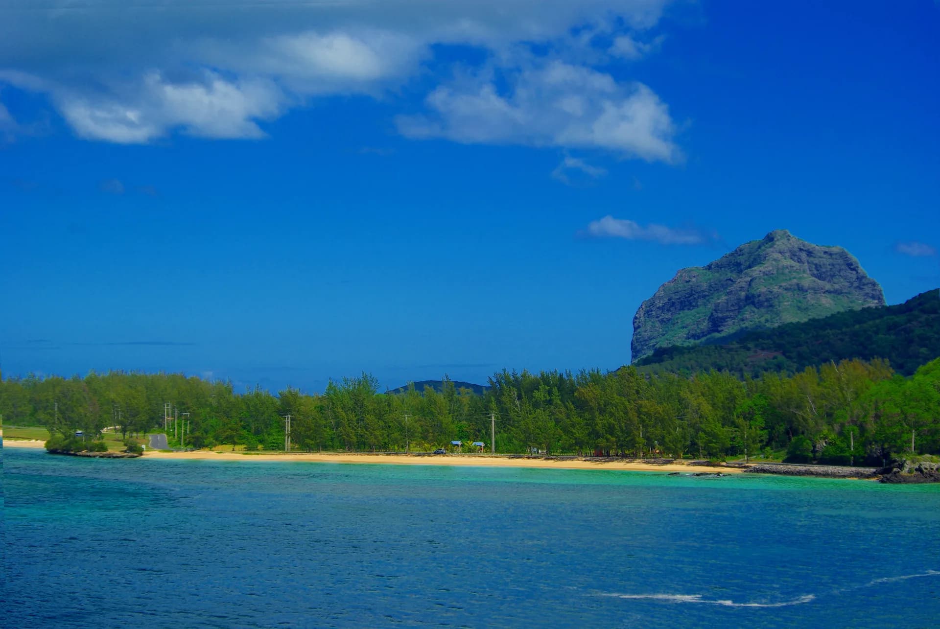
At the island’s south-western tip, the Le Morne peninsula carries a 556 m basalt monolith.
Chamarel and the Seven Coloured Earths
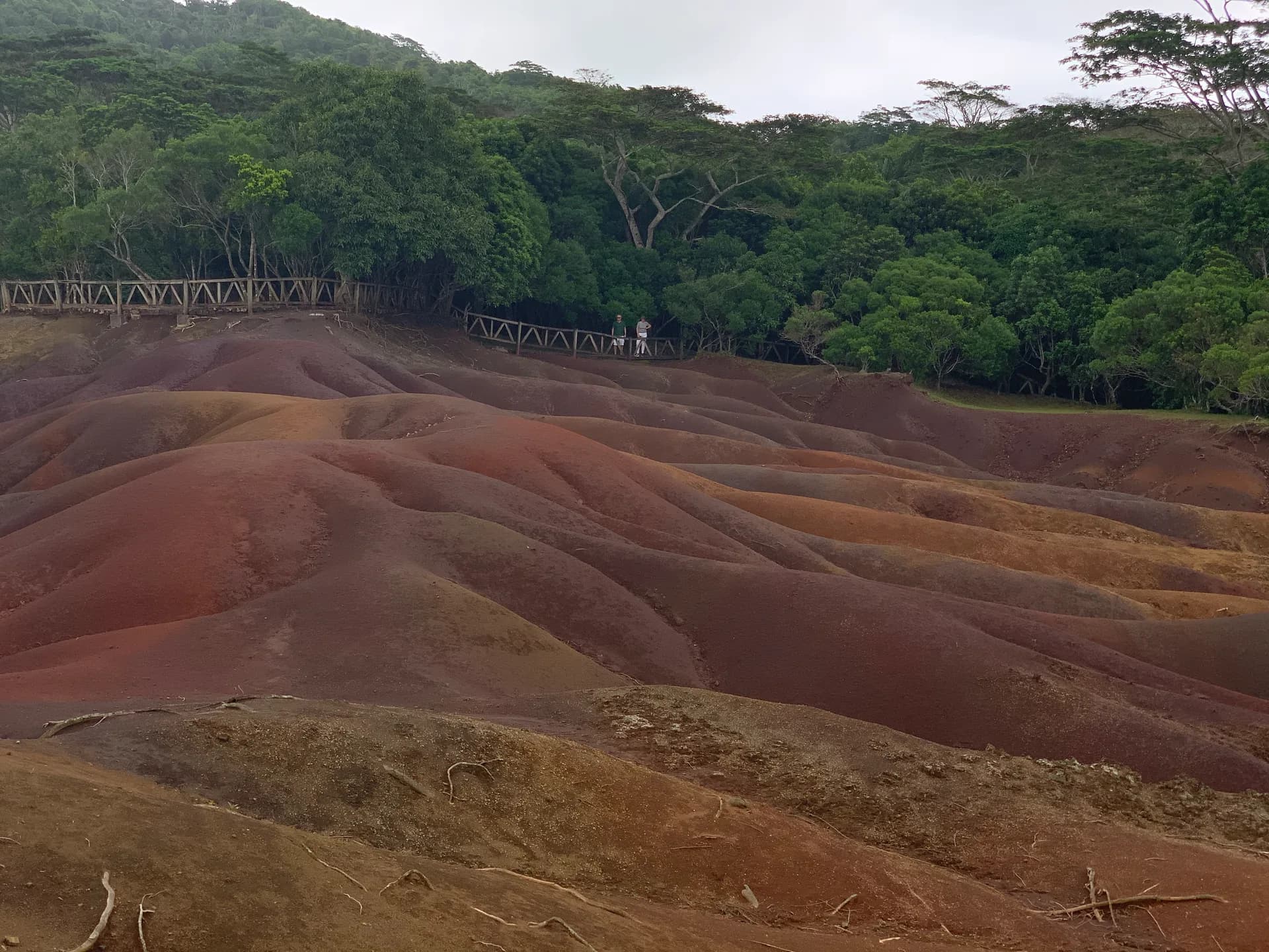
The village of Chamarel is known for its Seven Coloured Earths, an undulating landscape of contrasting shades.
Aapravasi Ghat in Port Louis
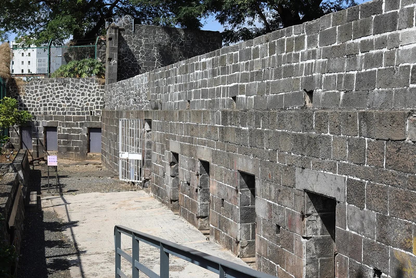
From 1849 to 1923, half a million Indian indentured labourers passed through this Port Louis immigration depot on their way to plantations across the British Empire.
Sources · 2 pages consulted, with the exact sentence used
- Black River Gorges National Park (Wikipedia)
Black River Gorges National Park is a national park in the hilly south-western part of Mauritius. It was proclaimed on June 15, 1994 […] It covers an area of 67.54 km2 including humid upland forest, drier lowland forest and marshy heathland. Facilities for visitors include two information centres, picnic areas and 60 kilometres of trails. […] It is the largest national park in Mauritius. The park protects most of the island's remaining rainforest […] Many endemic plants and animals still occur in the park including the Mauritian flying fox and all of the island's endemic birds: Mauritius kestrel, pink pigeon […] (coordinates -20.41667, 57.41667)
- Chamarel (Wikipedia)
Today it is primarily known for its scenic locations and nature attractions in its neighbourhood, among them are the Seven Coloured Earths, the Chamarel Falls, Ebony Forest Chamarel and the Black River Gorges National Park.
Opening hours, prices and access conditions change: check them with the official source before you go. Viafro publishes no price without a source and a date.